Rochester in Oakland County, Michigan — The American Midwest (Great Lakes)
1837-1847
Photographed by Joel Seewald, October 22, 2022
1. 1837-1847 Marker
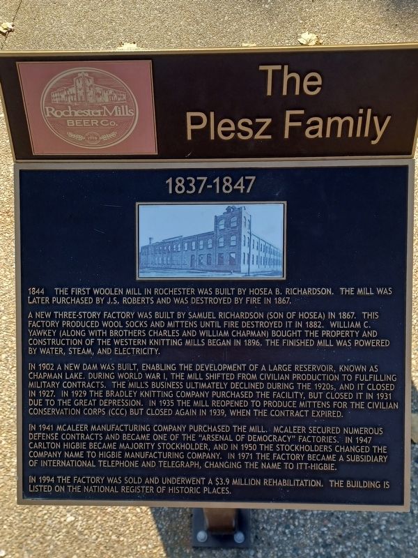
1844 The first woolen mill in Rochester was built by Hosea B. Richardson. The mill was later purchased by J.S. Roberts and was destroyed by fire in 1867.
A new three-story factory was built by Samuel Richardson (son of Hosea) in 1867. This factory produced wool socks and mittens until fire destroyed it in 1882. William C. Yawkey (along with brothers Charles and William Chapman) bought the property and construction of the Western Knitting Mills began in 1896. The finished mill was powered by water, steam, and electricity.
In 1902 a new dam was built, enabling the development of a large reservoir, known as Chapman Lake. During World War I, the mill shifted from civilian production to fulfilling military contracts. The mill's business ultimately declined during the 1920s, and it closed in 1927. In 1929 the Bradley Knitting Company purchased the facility, but closed it in 1931 due to the Great Depression. In 1935 the mill reopened to produce mittens for the Civilian Conservation Corps (CCC) but closed again in 1939, when the contract expired.
In 1941 McAleer Manufacturing Company purchased the mill. McAleer secured
this page online
In 1994 the factory was sold and underwent a $3.9 million rehabilitation. The building is listed on the National Register of Historic Places.
Erected 2017.
Topics. This historical marker is listed in this topic list: Industry & Commerce. A significant historical year for this entry is 1844.
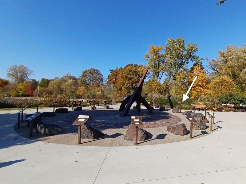
Location. 42° 41.035′ N, 83° 8.208′ W. Marker is in Rochester, Michigan, in Oakland County. It can be reached from Sixth Street. Marker is in Rochester Municipal Park at the southeast end near Pine Street — between the parking lot and the pond. Touch for map. Marker is at or near this postal address: 400 Sixth Street, Rochester MI 48307, United States of America. Touch for directions.

Regionally, this marker is in Southeast Michigan and in Greater Detroit. It is also in the American Midwest.
Photographed by Joel Seewald, October 22, 2022
2. 1837-1847 Marker
Other nearby markers. At least 8 other markers are within walking distance of this marker: 1827-1837 (here, next to this marker); 1847-1857 (here, next to this marker); 1817-1827 (here, next to this marker); 1857-1867 (here, next to this marker); 1867-1877 (here, next to this marker); 2007-2017 (here, next to this marker); 1997-2007 (here, next to this marker); 1877-1887 (a few steps from this marker). Touch for a list and map of all markers in Rochester.
Photographed by Joel Seewald, October 22, 2022
3. Rochester Golden Bicentennial Monument plaque
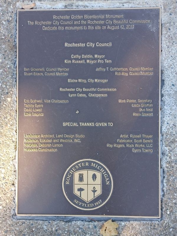
Marker is part of the Rochester Golden Bicentennial Monument.
Credits. This page was last revised on April 3, 2023. It was originally submitted on April 3, 2023, by Joel Seewald of Madison Heights, Michigan. This page has been viewed 232 times since then and 23 times this year. Photos: 1, 2, 3. submitted on April 3, 2023, by Joel Seewald of Madison Heights, Michigan.
