Rochester in Oakland County, Michigan — The American Midwest (Great Lakes)
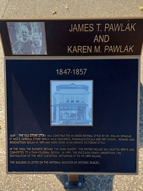
1847-1857
Photographed by Joel Seewald, October 22, 2022
1. 1847-1857 Marker
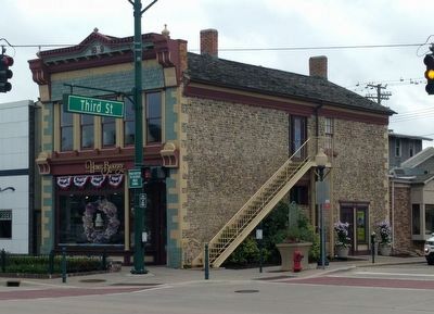
1849 The Old Stone Store was constructed in Greek Revival style by Dr. Rollin Sprague. It was a general store which sold groceries, pharmaceuticals and dry goods. Repairs and renovations began in 1899 and were done in an ornate Victorian style.
In the 1960s the business became the Home Bakery. The entire façade was painted white and converted to a faux-Colonial design. In 1995, the Kuczajda family undertook the restoration of the west elevation, returning it to its 1899 façade.
The building is listed on the National Register of Historic Places.
and
Karen M. Pawlak
Erected 2017.
Topics. This historical marker is listed in this topic list: Industry & Commerce. A significant historical year for this entry is 1849.
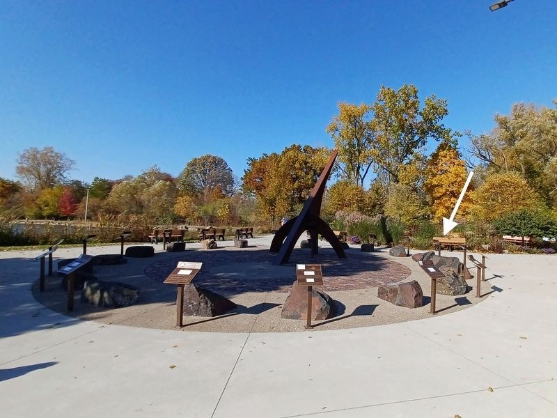
Location. 42° 41.034′ N, 83° 8.207′ W. Marker is in Rochester, Michigan, in Oakland County. It can be reached from Sixth Street. Marker is in Rochester Municipal Park at the southeast end near Pine Street — between the parking lot and the pond. Touch for map. Marker is at or near this postal address: 400 Sixth Street, Rochester MI 48307, United States of America. Touch for directions.

Regionally,
this page online
Other nearby markers. At least 8 other markers are within walking distance of this marker: 1857-1867 (here, next to this marker); 1837-1847 (here, next to this marker); 1867-1877 (here, next to this marker); 1827-1837 (here, next to this marker); 1817-1827 (here, next to this marker); 1877-1887 (here, next to this marker); 1887-1897 (here, next to this marker); 2007-2017 (a few steps from this marker). Touch for a list and map of all markers in Rochester.
Also see . . . Rollin Sprague Building. (Submitted on April 3, 2023, by Joel Seewald of Madison Heights, Michigan.)
Photographed by Joel Seewald, October 22, 2022
2. 1847-1857 Marker
Photographed by Joel Seewald, June 10, 2018
3. Rollin Sprague Building
The building mentioned on the marker is at 300 South Main Street.
Photographed by Joel Seewald, October 22, 2022
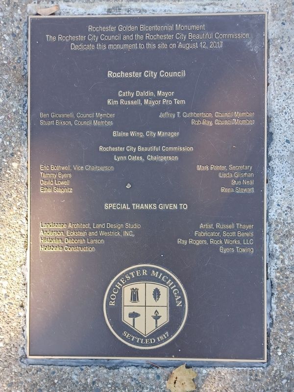
4. Rochester Golden Bicentennial Monument plaque
Marker is part of the Rochester Golden Bicentennial Monument.
Credits. This page was last revised on April 4, 2023. It was originally submitted on April 3, 2023, by Joel Seewald of Madison Heights, Michigan. This page has been viewed 170 times since then and 18 times this year. Photos: 1, 2. submitted on April 3, 2023, by Joel Seewald of Madison Heights, Michigan. 3. submitted on April 4, 2023, by Joel Seewald of Madison Heights, Michigan. 4. submitted on April 3, 2023, by Joel Seewald of Madison Heights, Michigan.
