Thompson Falls in Sanders County, Montana — The American West (Mountains)
Randolph Hoyt House
Photographed by Barry Swackhamer, August 8, 2022
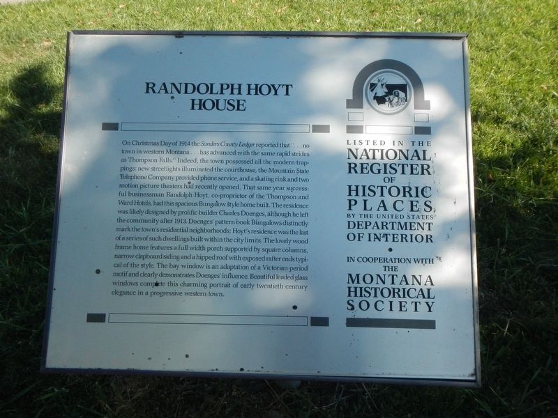
1. Randolph Hoyt House Marker
Inscription.
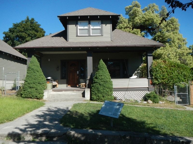
On Christmas Day of 1914 the Sanders County Ledger reported that “…no town in western Montana … has advanced with the same rapid strides as Thompson Falls.” Indeed, the town possessed all the modern trappings: new streetlights illuminated the courthouse, the Mountain State Telephone Company provided phone service, and a skating rink and two motion picture theaters had recently opened. That same year successful businessman Randolph Hoyt, co-proprietor of the Thompson and Ward Hotels, had this spacious Bungalow style home built. The residence was likely designed by prolific builder Charles Doenges, although he left the community after 1913. Doenges’ pattern book Bungalows distinctly mark the town’s residential neighborhoods; Hoyt’s residence was the last of a series of such dwellings built within the city limits. The lovely wood-frame home features a full-width porch supported by square columns, narrow clapboard siding, and a hipped roof with exposed rafter ends typical of the style. The bay window is an adaptation of a Victorian period motif and clearly demonstrates Doenges' influence. Beautiful leaded glass windows complete
Click or scan to see this page online
this charming portrait of early-twentieth-century elegance in a progressive western town.
Location. 47° 35.856′ N, 115° 21.085′ W. Marker is in Thompson Falls, Montana, in Sanders County. It is on North Gallatin Street near West Odgen Avenue, on the right when traveling north. Touch for map. Marker is at or near this postal address: 204 North Gallatin Street, Thompson Falls MT 59873, United States of America. Touch for directions.
Regionally, this marker is in Western Montana and in Glacier Country. It is also in the American Mountain West and in the Lewis & Clark Corridor. Globally, it is in North America, the Rocky Mountains, the Western Hemisphere, the Western World, and the Anglosphere. Historically, it finds itself in what was once Rupert’s Land and also the Louisiana Purchase.
Other nearby markers. At least 8 other markers are within walking distance of this marker:
Credits. This page was last revised on November 12, 2024. It was originally submitted on April 3, 2023, by Barry Swackhamer of Brentwood, California. This page has been viewed 185 times since then and 20 times this year. Photos:1, 2. submitted on April 3, 2023, by Barry Swackhamer of Brentwood, California.