Waterloo in Monroe County, Illinois — The American Midwest (Great Lakes)
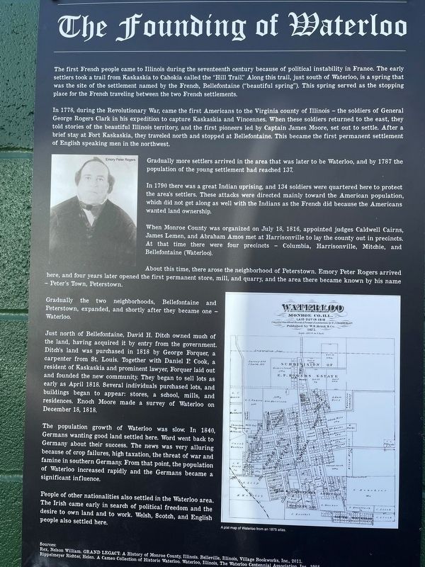
The Founding of Waterloo
The first French people came to Illinois during the seventeenth century because of political instability in France. The settlers took a trail from Kaskaskia to Cahokia called the "Hill Trail" Along this trail, just south of Waterloo, is a spring was the site of the settlement named by the French, Bellefontaine ("beautiful spring). This spring served as the stop place for the French traveling between the two French settlements.
In 1778, during the Revolutionary War, came the first Americans to the Virginia county of Illinois-the soldiers of General George Rogers Clark in his expedition to capture Kaskaskia and Vincennes. When these soldiers returned to the east, told stories of the beautiful Illinois territory, and the first pioneers led by Captain James Moore, set out to settle. After brief stay at Fort Kaskaskia, they traveled north and stopped at Bellefontaine. This became the first permanent settlement of English speaking men in the northwest.
Gradually more settlers arrived in the area that was later to be Waterloo, and by 1782 population of the young settlement had reached 137.
In 1790 there was a great Indian uprising, and 134 soldiers were quartered here to protect the area's settlers. These attacks were directed mainly toward the American population which did not get along as well with the Indians as the French did because the American wanted land ownership.
When Monroe County was organized on July 18, 1816, appointed judges Caldwell Cains James Lemen, and Abraham Amos met at Harrisonville to lay the county out in precincts. At that time there were four precincts Columbia, Harrisonville, Mitchie, Bellefontaine (Waterloo).
About this time, there arose the neighborhood of Peterstown. Emory Peter Rogers arrival here, and four years later opened the first permanent store, mill, and quarry, and the area there became known by his nickname Peter's Town, Peterstown Gradually the two neighborhoods, Bellefontaine and Peterstown, expanded, and shortly after they became one-Waterloo
Just north of Bellefontaine, David H. Ditch owned much of the land, having acquired it by entry from the government. Ditch's land was purchased in 1818 by George Forquer, a carpenter from St. Louis. Together with Daniel I Cook, a resident of Kaskaskia and prominent lawyer, Forquer laid out and founded the new community. They began to sell lots as early as April 1818 Several individuals purchased lots, and buildings began to appear: stores, a school, mills, and residences. Enoch Moore made a survey of Waterloo on December 18, 1818
The population growth of Waterloo was slow. In 1840, Germans wanting good land settled here. Word went back to Germany about their success. The news was very alluring because of crop failures, high taxation, the threat of war and famine in southern Germany From that point, the population of Waterloo increased rapidly and the Germans became a significant influence.
People of other nationalities also settled in the Waterloo area. The Irish came early in search of political freedom and the desire to own land and to own land and to work. Welsh, Scotch, and English people also settled here and to work. Welsh, Scotch, and English people also settled here.
Topics. This historical marker is listed in these topic lists: Immigration • Patriots & Patriotism • Settlements & Settlers. A significant historical year for this entry is 1778.
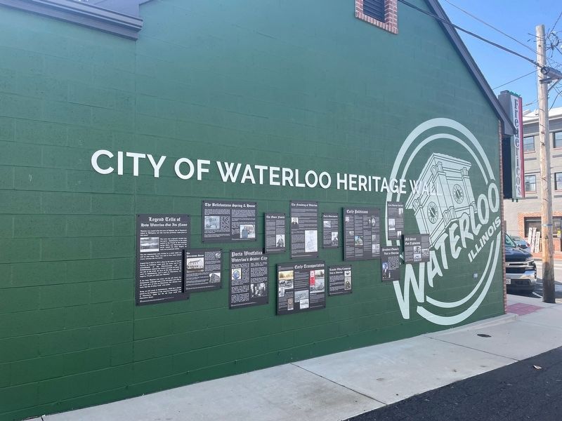
Location. 38° 20.202′ N, 90° 9.021′ W. Marker is in Waterloo, Illinois, in Monroe County. Marker is on North Main Street south of First Street, on the left when traveling south. The marker hangs on the north side of Frederico's Restaurant. Touch for map. Marker is at or near this postal address: 114 N Main St, Waterloo IL 62298, United States of America. Touch for directions.
Other nearby markers. At least 8 other markers are within walking distance of this marker. Mill Street Gas Explosions (here, next to this marker); Early Waterloo Churches (here, next to this marker); Early Government (here, next to this marker); Porta Westfalica (here, next to this marker); The Bellefontaine Spring & House (here, next to this marker); Legend Tells How Waterloo Got Its Name (here, next to this marker); The Peterstown House (here, next to this marker); Early Politicians (here, next to this marker). Touch for a list and map of all markers in Waterloo.
Credits. This page was last revised on April 8, 2023. It was originally submitted on April 4, 2023, by Thomas Smith of Waterloo, Ill. This page has been viewed 113 times since then and 28 times this year. Photos: 1, 2. submitted on April 4, 2023, by Thomas Smith of Waterloo, Ill. • Devry Becker Jones was the editor who published this page.

