Johnsonville near Cameron in Harnett County, North Carolina — The American South (South Atlantic)
Plank Road
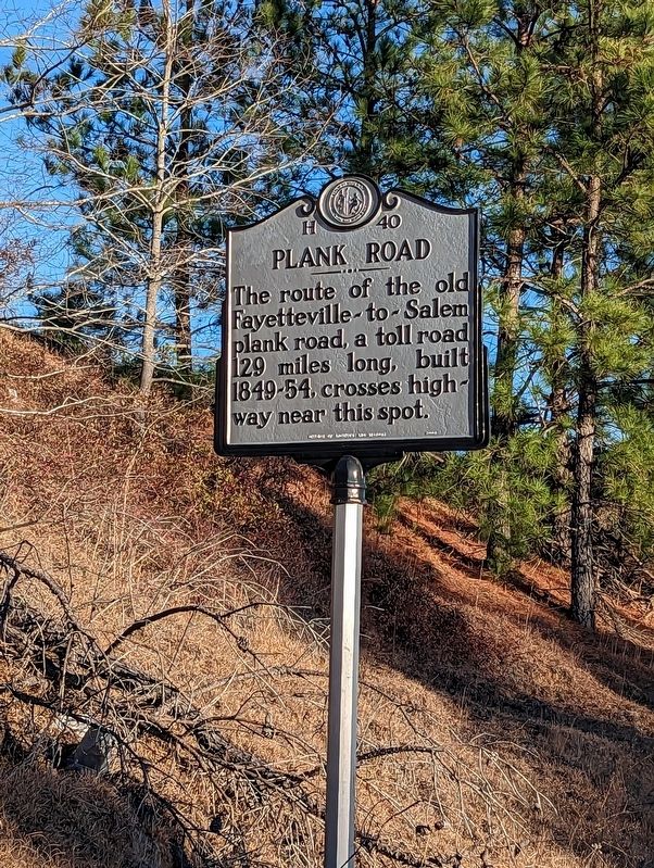
The route of the old Fayetteville-to-Salem plank road, a toll road 129 miles long, built 1849-54, crosses highway near this spot.
Erected 1948 by North Carolina Office of Archives and History. (Marker Number H-40.)
Topics. This historical marker is listed in these topic lists: Roads & Vehicles • Settlements & Settlers.
Location. 35° 16.183′ N, 79° 3.575′ W. Marker is near Cameron, North Carolina, in Harnett County. It is in Johnsonville. Marker is on Exit Ramp (North Carolina Route 87), on the right when traveling west. Touch for map. Marker is at or near this postal address: NC 24-87 Exit Ramp, Sanford NC 27332, United States of America. Touch for directions.
Other nearby markers. At least 8 other markers are within 8 miles of this marker, measured as the crow flies. Flora MacDonald (approx. 2.4 miles away); Johnsonville Veteran Memorial Harnett County (approx. 2.8 miles away); Barbecue Church (approx. 4.7 miles away); Pope Field (approx. 6.8 miles away); C-130 "Hercules" (approx. 7.8 miles away); Pope Air Force Base Air Park (approx. 7.8 miles away); C-123 "Provider" (approx. 7.8 miles away); Pope Airmen Memorial (approx. 7.8 miles away). Touch for a list and map of all markers in Cameron.
Also see . . . Plank Roads. North Carolina History Project website entry:
To bring wealth and awake their state from its supposed economic slumber in the antebellum era, North Carolinians advocated the use of plank roads in the late 1840s. These wooded highways were purported to be an improvement over rough, dirt roads and a necessary step to create an intrastate (an eventually interstate) trade network of plank roads, railroad hubs, and seaports. Such an effort was considered much needed, as one historians puts its, because plank roads could free “citizens from the bondage of primitive roads.”(Submitted on January 20, 2023, by Michael Buckner of Durham, North Carolina.)
Credits. This page was last revised on March 14, 2024. It was originally submitted on January 20, 2023, by Michael Buckner of Durham, North Carolina. This page has been viewed 145 times since then and 63 times this year. Last updated on April 5, 2023, by Michael Buckner of Durham, North Carolina. Photo 1. submitted on January 20, 2023, by Michael Buckner of Durham, North Carolina. • J. Makali Bruton was the editor who published this page.
Editor’s want-list for this marker. Photo of site described • Can you help?
