Near Oxford in Lafayette County, Mississippi — The American South (East South Central)
Mississippi Central R.R. Campaign
Inscription.
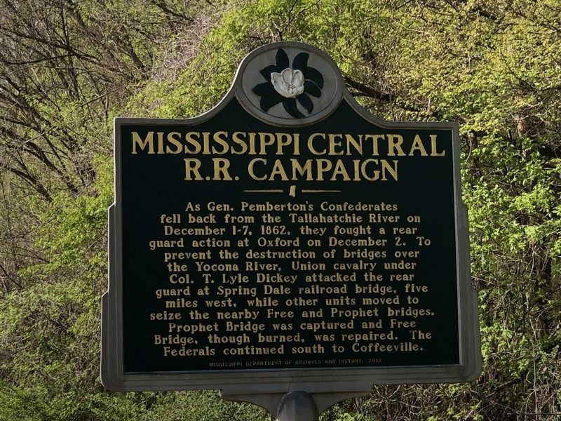
As Gen. Pemberton's Confederates
fell back from the Tallahatchie River on
December 1-7, 1862, they fought a rear
guard action at Oxford on December 2. To
prevent the destruction of bridges over
the Yocona River, Union cavalry under
Col. T. Lyle Dickey attacked the rear
guard at Spring Dale railroad bridge, five
miles west, while other units moved to
seize the nearby Free and Prophet bridges.
Prophet Bridge was captured and Free
Bridge, though burned, was repaired. The
Federals continued south to Coffeeville.
Erected 2012 by Mississippi Department of Archives and History.
Topics and series. This historical marker is listed in these topic lists: Bridges & Viaducts • War, US Civil. In addition, it is included in the Mississippi State Historical Marker Program series list. A significant historical date for this entry is December 2, 1862.
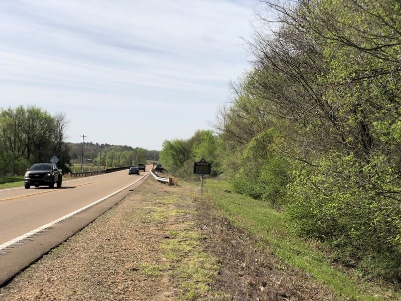
Location. 34° 16.481′ N, 89° 31.281′ W. Marker is near Oxford, Mississippi, in Lafayette County. Marker is on Mississippi Route 7 south of Mississippi Route 328, on the right when traveling south. Touch for map. Marker is at or near this postal address: 552 MS-7, Oxford MS 38655, United States of America. Touch for directions.
Other nearby markers. At least 8 other markers are within 6 miles of this marker, measured as the crow flies. Buckner-Craig-Isom Cemetery (approx. 4.6 miles away); Buckner's Trestle (approx. 5 miles away); Jacob Thompson's "Home Place" (approx. 5.8 miles away); William Faulkner (approx. 5.8 miles away); Rowan Oak (approx. 5.8 miles away); Chucky Mullins Drive (approx. 5.9 miles away); Jeanette Phillips Drive (approx. 6 miles away); Confederate Soldiers Cemetery (approx. 6.1 miles away). Touch for a list and map of all markers in Oxford.
Credits. This page was last revised on April 5, 2023. It was originally submitted on April 5, 2023, by Duane and Tracy Marsteller of Murfreesboro, Tennessee. This page has been viewed 76 times since then and 20 times this year. Photos: 1, 2. submitted on April 5, 2023, by Duane and Tracy Marsteller of Murfreesboro, Tennessee.

