Rochester in Oakland County, Michigan — The American Midwest (Great Lakes)
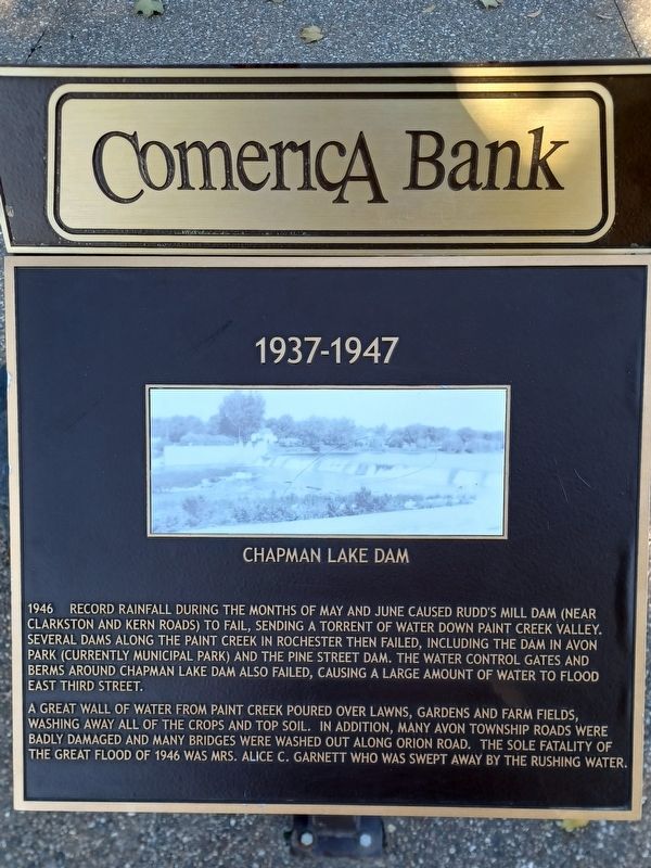
1937-1947
Image caption: Chapman Lake Dam
1946 Record rainfall during the months of May and June caused Rudd's Mill Dam (near Clarkston and Kern Roads) to fail, sending a torrent of water down Paint Creek valley. Several dams along the Paint Creek in Rochester then failed, including the dam in Avon Park (currently Municipal Park) and the Pine Street Dam. The water control gates and berms around Chapman Lake Dam also failed, causing a large amount of water to flood East Third Street.
A great wall of water from Paint Creek poured over lawns, gardens and farm fields, washing away all of the crops and top soil. In addition, many Avon Township roads were badly damaged and many bridges were washed out along Orion Road. The sole fatality of the Great Flood of 1941 was Mrs. Alice C. Garnett who was swept away by the rushing water.
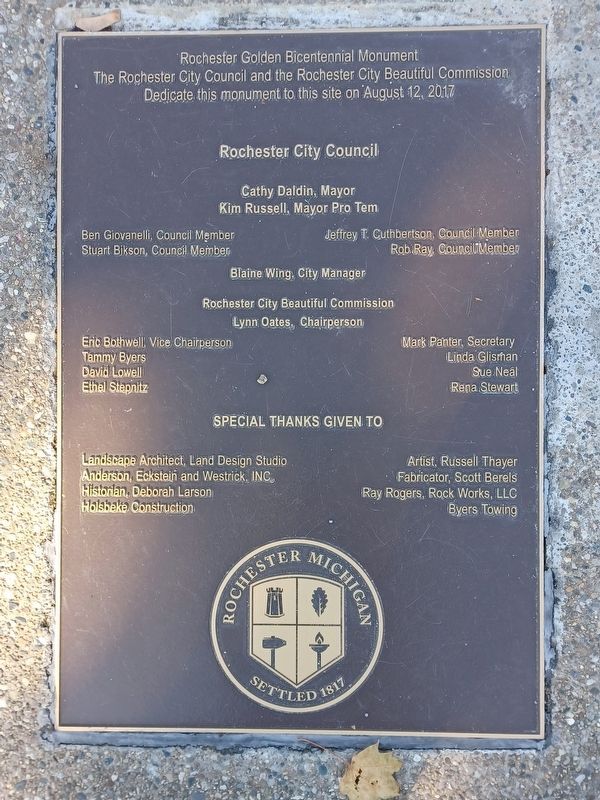
Erected 2017.
Topics. This historical marker is listed in these topic lists: Disasters • Waterways & Vessels. A significant historical month for this entry is May 1946.
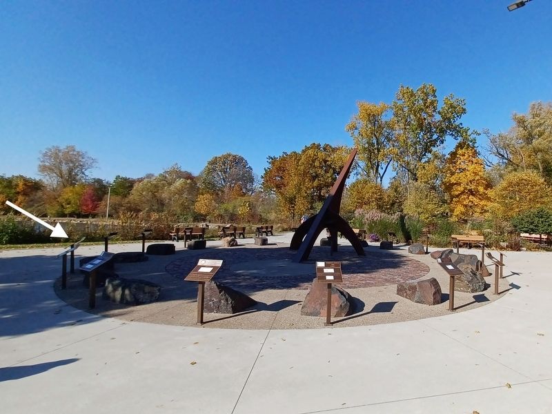
Location. 42° 41.03′ N, 83° 8.214′ W. Marker is in Rochester, Michigan, in Oakland County. Marker can be reached from Sixth Street. Marker is in Rochester Municipal Park at the southeast end near Pine Street — between the parking lot and the pond. Touch for map. Marker is at or near this postal address: 400 Sixth Street, Rochester MI 48307, United States of America. Touch for directions.
Other nearby markers. At least 8 other markers are within walking distance of this marker. 1947-1957 (here, next to this marker); 1927-1937 (here, next to this marker); 1957-1967 (here, next to this marker); 1917-1927 (here, next to this marker); 1967-1977 (here, next to this marker); 1907-1917 (here, next to this marker); 1977-1987 (here, next to this marker); 1897-1907 (a few steps from this marker). Touch for a list and map of all markers in Rochester.
Credits. This page was last revised on April 6, 2023. It was originally submitted on April 6, 2023, by Joel Seewald of Madison Heights, Michigan. This page has been viewed 73 times since then and 6 times this year. Photos: 1, 2, 3. submitted on April 6, 2023, by Joel Seewald of Madison Heights, Michigan.


