Near Rugby in Morgan County, Tennessee — The American South (East South Central)
Gentlemen's Swimming Hole
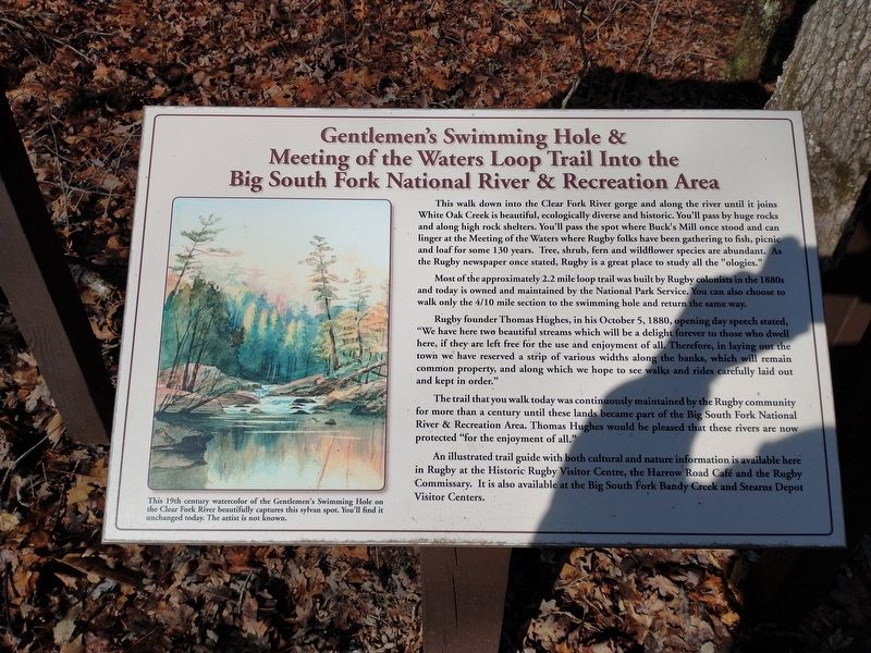
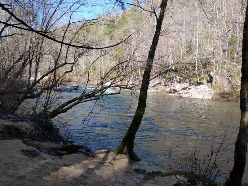
This walk down into the Clear Fork River gorge and along the river until it joins White Oak Creek is beautiful, ecologically diverse and historic. You'll pass by huge rocks and along high rock shelters. You'll pass the spot where Buck's Mill once stood and can linger at the Meeting of the Waters where Rugby folks have been gathering to fish, picnic and loaf for some 130 years. Tree, shrub, fern and wildflower species are abundant. As the Rugby newspaper once stated, Rugby is a great place to study all the "ologies."
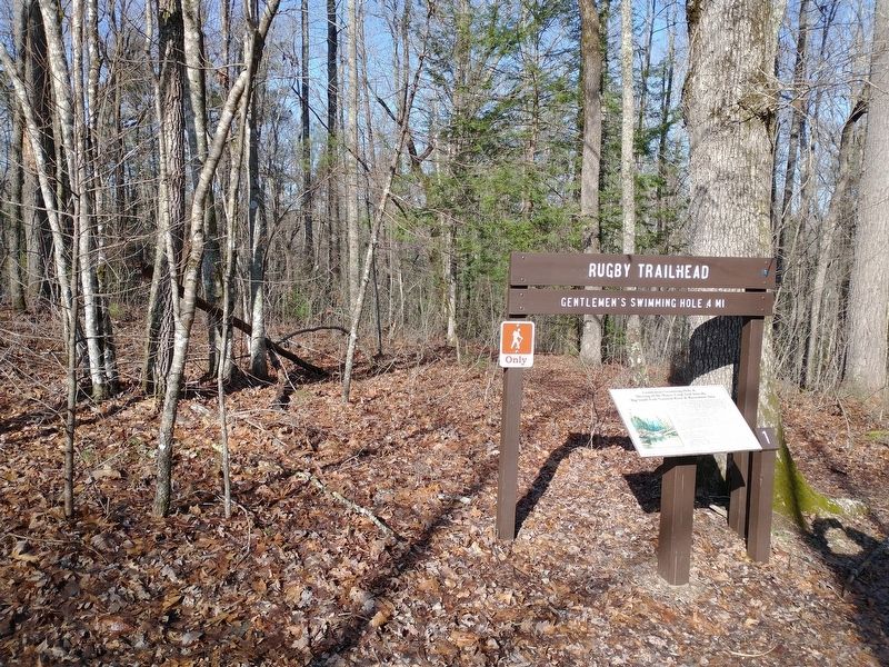
Most of the approximately 2.2 mile loop trail was built by Rugby colonists in the 1880s and today is owned and maintained by the National Park Service. You can also choose to walk only the 4/10 mile section to the swimming hole and return the same way.
Rugby founder Thomas Hughes, in his October 5, 1880, opening day speech stated, "We have here two beautiful streams which will be a delight forever to those who dwell here, if they are left free for the use and enjoyment of all. Therefore, in laying out the town we have reserved a strip of various widths along the banks, which will remain common property, and along which we hope to see walks and rides carefully laid out and kept in order."
The trail that you walk today was continuously maintained by the Rugby community for more than a century until these lands became part of the Big South Fork National River & Recreation Area. Thomas Hughes would be pleased that these rivers are now protected "for the enjoyment of all."
An illustrated trail guide with both cultural and nature information is available here in Rugby at the Historic Rugby Visitor Centre, the Harrow Road Café and the Rugby Commissary. It is also available at the Big South Fork Bandy Creek and Stearns Depot Visitor Centers.
[Caption]: This 19th century watercolor of the Gentlemen's Swimming Hole on the Clear Fork River beautifully captures this sylvan spot. You'll find it unchanged today. The artist is not known.
Topics. This historical marker is listed in these topic lists: Parks & Recreational Areas • Settlements & Settlers. A significant historical date for this entry is October 5, 1880.
Location. 36° 22.147′ N, 84° 41.885′ W. Marker is near Rugby, Tennessee, in Morgan County. Marker is on Laurel Dale Cemetery Road, on the left when traveling north. Touch for map. Marker is in this post office area: Rugby TN 37733, United States of America. Touch for directions.
Other nearby markers. At least 8 other markers are within 6 miles of this marker, measured as the crow flies. The Tabard Inn (approx. 0.4 miles away); Thomas Fardon's Drug Supply & Home (approx. 0.6 miles away); Perrigo/Alexander Boarding House (approx. 0.6 miles away); Roadside Cottage/Grey Gables (approx. 0.6 miles away); Early Rugby’s Appalachian Neighbors (approx. 0.9 miles away); Meet the Massengales (approx. 0.9 miles away); Welcome to the Massengale Homeplace (approx. one mile away); Morgan County / Scott County (approx. 5.9 miles away). Touch for a list and map of all markers in Rugby.
Related markers. Click here for a list of markers that are related to this marker.
Credits. This page was last revised on April 7, 2023. It was originally submitted on March 23, 2023, by Tom Bosse of Jefferson City, Tennessee. This page has been viewed 93 times since then and 14 times this year. Last updated on April 6, 2023, by Tom Bosse of Jefferson City, Tennessee. Photos: 1, 2, 3. submitted on March 23, 2023, by Tom Bosse of Jefferson City, Tennessee. • J. Makali Bruton was the editor who published this page.


