Near Pierre in Hughes County, South Dakota — The American Midwest (Upper Plains)
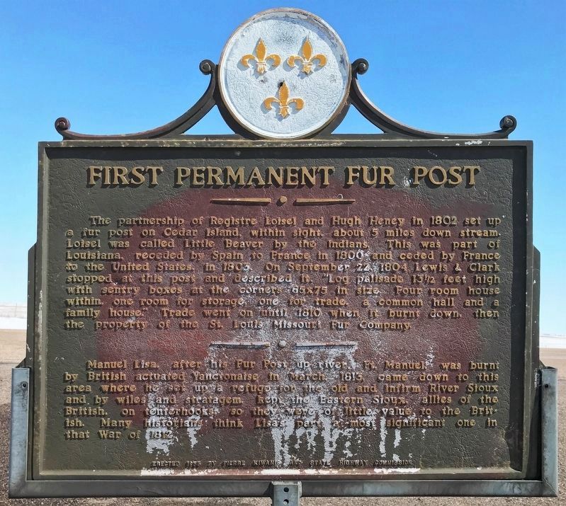
First Permanent Fur Post
April 2, 2023
1. First Permanent Fur Post Marker
Manuel Lisa, after his Fur Post up river, Ft. Manuel, was burnt by British actuated Yanctonaise in March, 1813, came down to this area where he set up a refuge for the old and infirm River Sioux and by wiles and stratagem, kept the Eastern Sioux, allies of the British, on tenterhooks, so they were of little value to the British. Many historians think Lisa's part a most significant one in that War of 1812.
Erected 1955 by Pierre Kiwanis and State Highway Commission. (Marker Number
this page online
Topics and series. This historical marker is listed in these topic lists: Exploration • Industry & Commerce • Settlements & Settlers • Waterways & Vessels. In addition, it is included in the South Dakota State Historical Society Markers series list. A significant historical year for this entry is 1802.
Location. 44° 16.83′ N, 99° 54.326′ W. Marker is near Pierre, South Dakota, in Hughes County. It is at the intersection of State Highway 34 at milepost 233 and Chapelle Road, on the left on State Highway 34. Touch for map. Marker is in this post office area: Pierre SD 57501, United States of America. Touch for directions.

Regionally, this marker is in East River. It is also in the American Lewis & Clark Corridor, on the prairies, and on the Northern Plains. Globally, it is in North America, the Western Hemisphere, the Western World, and the Anglosphere. Historically, it finds itself in what was once Rupert’s Land and also the Louisiana Purchase.
Other nearby markers. At least 2 other markers are within 15 miles of this marker, measured as the crow flies: Medicine Knoll River (approx. 8.6 miles away); Head Chief Solomon Iron Nation
April 2, 2023
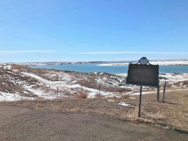
2. First Permanent Fur Post Marker
The approximate area where the Loisel Fur Post was located can be seen in the background.
April 2, 2023
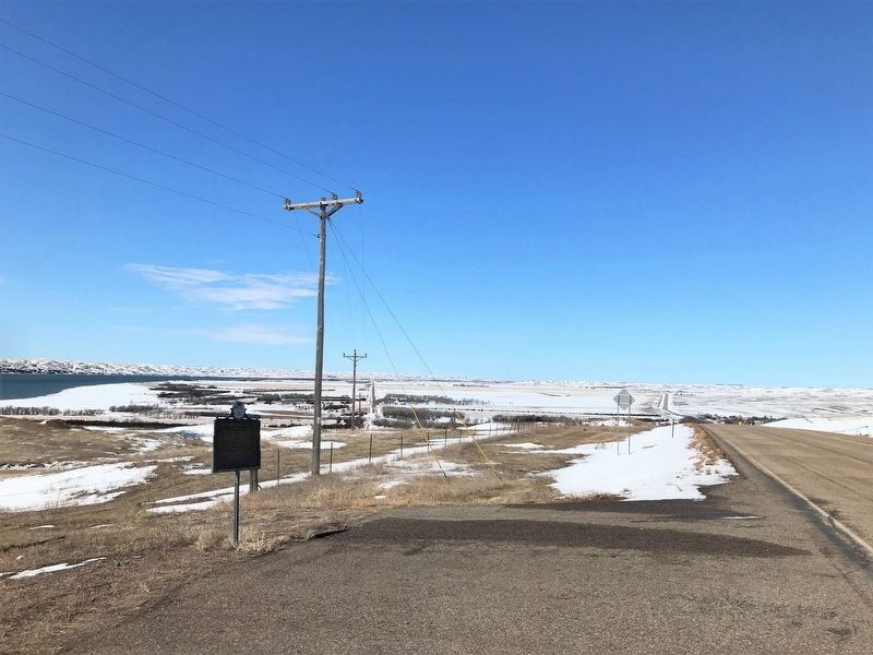
3. First Permanent Fur Post Marker, from the east
April 2, 2023
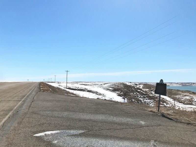
4. First Permanent Fur Post Marker, from the west
Credits. This page was last revised on December 26, 2024. It was originally submitted on April 6, 2023. This page has been viewed 554 times since then and 86 times this year. Photos: 1, 2, 3, 4. submitted on April 6, 2023.
