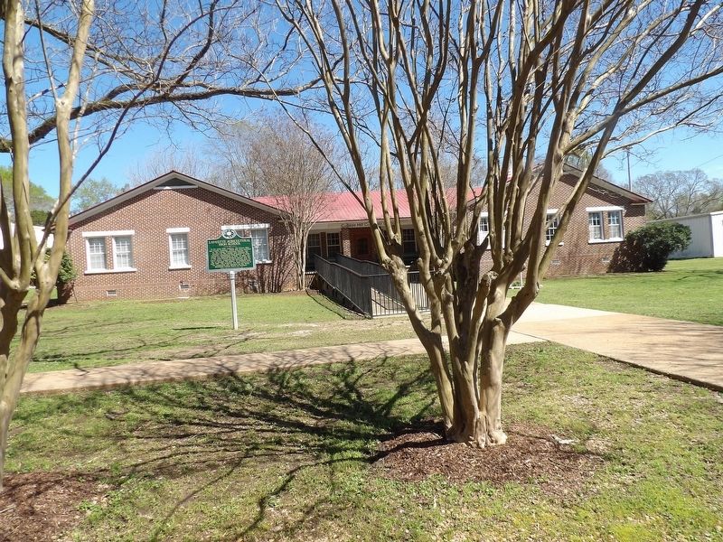
College Hill near Oxford in Lafayette County, Mississippi — The American South (East South Central)
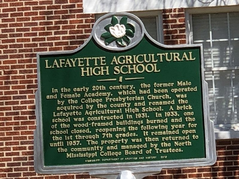
Lafayette Agricultural High School
Inscription.
In the early 20th century, the former Male
and Female Academy, which had been operated
by the College Presbyterian Church, was
acquired by the county and renamed the
Lafayette Agricultural High School. A brick
school was constructed in 1931. In 1933, one
of the wood-framed buildings burned and the
school closed, reopening the following year for
the 1st through 7th grades. It remained open
until 1957. The property was then returned to
the community and managed by the North
Mississippi College Board of Trustees.
Erected 2019 by Mississippi Department of Archives and History.
Topics and series. This historical marker is listed in this topic list: Education. In addition, it is included in the Mississippi State Historical Marker Program series list. A significant historical year for this entry is 1931.
Location. 34° 25.296′ N, 89° 34.045′ W. Marker is near Oxford, Mississippi, in Lafayette County. It is in College Hill. Marker is on County Road 130 south of County Road 128, on the left when traveling south. Touch for map. Marker is at or near this postal address: 10 Co Rd 130, Oxford MS 38655, United States of America. Touch for directions.
Other nearby markers. At least 8 other markers are within 5 miles of this marker, measured as the crow flies. College Church (about 700 feet away, measured in a direct line); College Hill Settlers (approx. 0.2 miles away); University Faculty Houses (approx. 3.7 miles away); Silver Pond (approx. 4.1 miles away); George Hall (approx. 4.1 miles away); Guyton Hall (approx. 4.1 miles away); Longstreet Hall (approx. 4.1 miles away); Rosenwald School (approx. 4.2 miles away). Touch for a list and map of all markers in Oxford.
Credits. This page was last revised on April 7, 2023. It was originally submitted on April 7, 2023, by Duane and Tracy Marsteller of Murfreesboro, Tennessee. This page has been viewed 61 times since then and 14 times this year. Photos: 1, 2. submitted on April 7, 2023, by Duane and Tracy Marsteller of Murfreesboro, Tennessee.

