New Windsor in Carroll County, Maryland — The American Northeast (Mid-Atlantic)
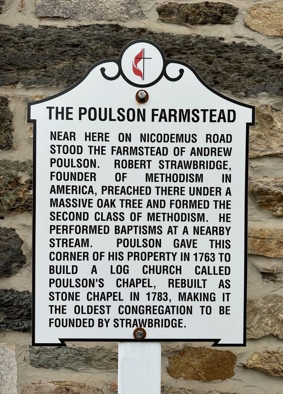
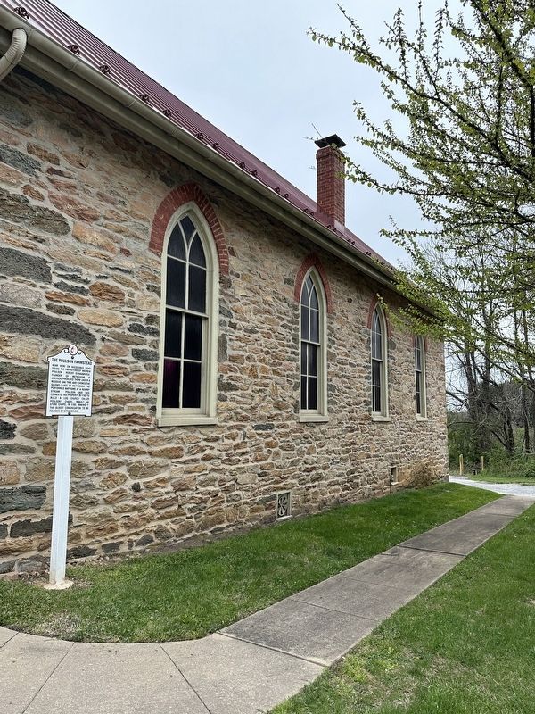
The Poulson Farmstead
Topics. This historical marker is listed in these topic lists: Churches & Religion • Colonial Era • Settlements & Settlers. A significant historical year for this entry is 1763.
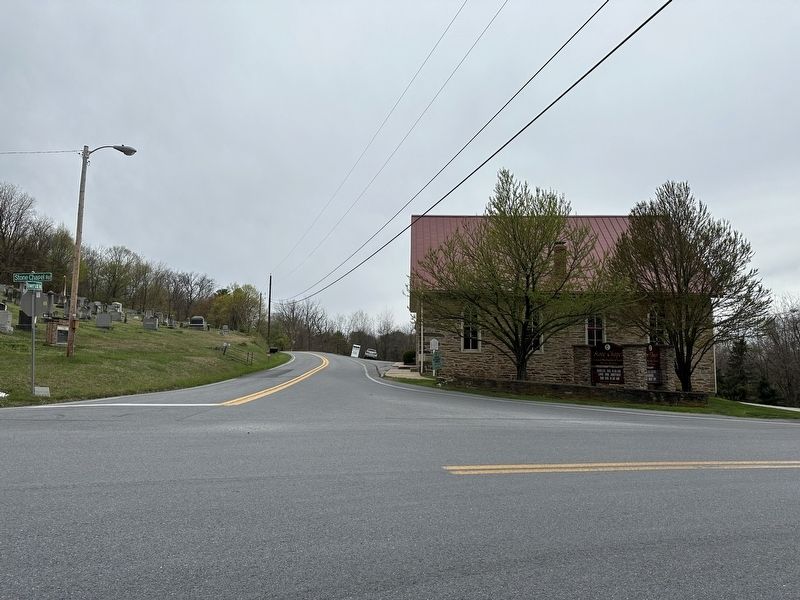
Location. 39° 31.972′ N, 77° 2.908′ W. Marker is in New Windsor, Maryland, in Carroll County. Marker is on Stone Chapel Road near Bowersox Rd, on the left when traveling north. Touch for map. Marker is at or near this postal address: 1448 Stone Chapel Rd, New Windsor MD 21776, United States of America. Touch for directions.
Other nearby markers. At least 8 other markers are within 3 miles of this marker, measured as the crow flies. Poulson / Stone Chapel (a few steps from this marker); Strawbridge Shrine (approx. 1.7 miles away); a different marker also named Strawbridge Shrine (approx. 2 miles away); a different marker also named The Strawbridge Shrine (approx. 2 miles away); John Evans House, 1764 (approx. 2.1 miles away); Bell from Brick Church (approx. 2.1 miles away); Elizabeth Piper Strawbridge (approx. 2.1 miles away); Robert Strawbridge (approx. 2.1 miles away). Touch for a list and map of all markers in New Windsor.
Credits. This page was last revised on April 12, 2023. It was originally submitted on April 7, 2023, by Jordan Butler of New Windsor, Maryland, USA. This page has been viewed 73 times since then and 18 times this year. Photos: 1, 2, 3. submitted on April 7, 2023, by Jordan Butler of New Windsor, Maryland, USA. • J. Makali Bruton was the editor who published this page.


