Nachlaot in Jerusalem, Jerusalem District, Israel — The Middle East (West Asia)
Saidoff Complex
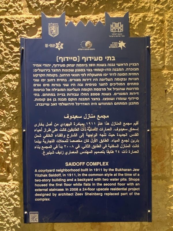
Photographed by Darren Jefferson Clay, March 12, 2023
1. Saidoff Complex Marker
Topics. This historical marker is listed in this topic list: Industry & Commerce. A significant historical year for this entry is 1911.
Location. 31° 47.195′ N, 35° 12.6′ E. Marker is in Jerusalem, Jerusalem District. It is in Nachlaot. It is on Jaffa Street, on the right when traveling east. Touch for map. Marker is at or near this postal address: Jaffa St 155, Jerusalem, Jerusalem District, Israel. Touch for directions.

Regionally, it is in Asia, specifically in West Asia, in the Middle East, in The Levant, on the Red Sea, in a coastal Mediterranean country, and in the Western World. Historically, it finds itself in what was once the Byzantine Empire, the Ottoman Empire, a British Mandate, and the Roman Empire.
Other nearby markers. At
this page online
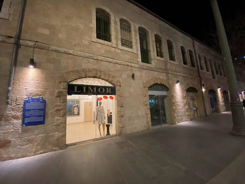
Photographed by Darren Jefferson Clay, March 12, 2023
2. Saidoff Complex Marker
Credits. This page was last revised on April 16, 2023. It was originally submitted on April 9, 2023, by Darren Jefferson Clay of Duluth, Georgia. This page has been viewed 134 times since then and 13 times this year. Photos: 1, 2. submitted on April 9, 2023, by Darren Jefferson Clay of Duluth, Georgia. • J. Makali Bruton was the editor who published this page.
