Broadway - Assiniboine in Winnipeg, Manitoba — Canada’s Prairie Region (North America)
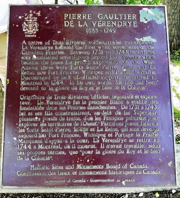
Pierre Gaultier de La Vérendrye
1685-1749
Erected by Historic Sites and Monuments Board of Canada/Commission des lieux et monuments historiques du Canada.
Topics and series. This historical marker is listed in these topic lists: Colonial Era • Exploration • Forts and Castles • Settlements & Settlers. In addition, it is included in the Canada, Historic Sites and Monuments Board series list. A significant historical year for this entry is 1731.
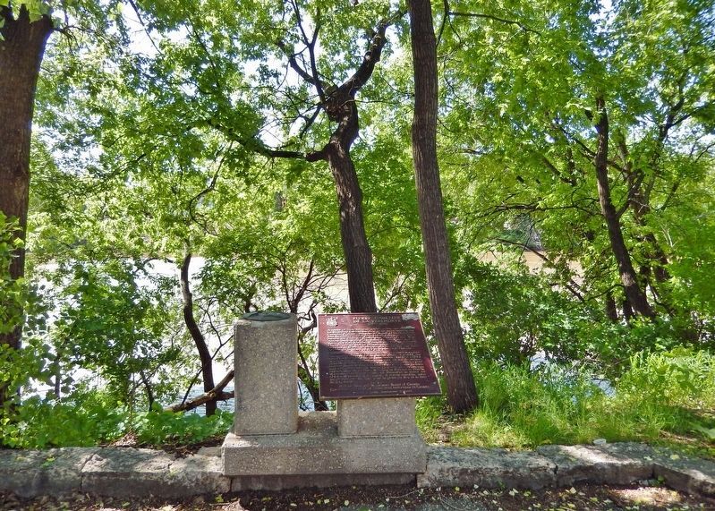
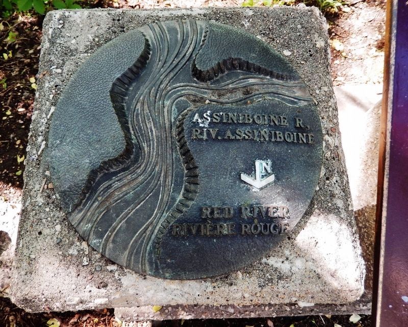
Location. 49° 53.149′ N, 97° 8.074′ W. Marker is in Winnipeg, Manitoba. It is in Broadway - Assiniboine. Marker can be reached from Assiniboine Avenue just west of Main Street (Trans-Canada Highway) (Provincial Highway 1), on the left when traveling west. Marker is located above the Riverwalk in Bonnycastle Park, overlooking the Assiniboine River. Touch for map. Marker is in this post office area: Winnipeg MB R3C 0X6, Canada. Touch for directions.
Other nearby markers. At least 8 other markers are within walking distance of this marker. Bonnycastle Park (about 120 meters away, measured in a direct line); Upper Fort Garry Gateway / Porte d'entrée d'Upper Fort Garry (approx. 0.2 kilometers away); Ambroise-Didyme Lépine (approx. 0.2 kilometers away); Fort Garry — Fort Edmonton Trail (approx. 0.3 kilometers away); The Fort Garry
(approx. 0.3 kilometers away); The Fort Garry Hotel / L'hôtel Fort Garry (approx. 0.3 kilometers away); Canadian Northern Railway Freight Lift Bridge, East Yard (approx. 0.4 kilometers away); Pierre Gaultier de Varennes et de La Vérendrye (approx. half a kilometer away). Touch for a list and map of all markers in Winnipeg.
Also see . . .
1. Pierre Gaultier de Varennes, sieur de La Vérendrye.
He became involved with the quest to find a route to the Pacific, what was known as the Northwest Passage. At this time people thought that not far to the west was an inlet from the Pacific called the mer du couchant. They thought that travelers could cross the height of land and find a River of the West that flowed all the way to the Pacific. He was the first known European to reach present-day North Dakota and the upper Missouri River in the United States.(Submitted on April 9, 2023, by Cosmos Mariner of Cape Canaveral, Florida.)
2. Pierre Gaultier de Varennes et de La Vérendrye.
The expeditions organized by La Vérendrye and spearheaded by his sons were the first to open the country from Lake Superior to the lower Saskatchewan River and the Missouri River to the French fur trade. With permission from the French minister of the marine, Jean-Frédéric Phélypeaux, Count of Maurepas, but with no financial backing, La Vérendrye sought and received a three year monopoly on the fur trade of the area in 1731. He formed a partnership with a number of merchants and between 1731 and 1737 he was active building posts from Lake Superior to Lake Winnipeg promoting the fur trade and gathering information from Indigenous peoples.(Submitted on April 9, 2023, by Cosmos Mariner of Cape Canaveral, Florida.)
Credits. This page was last revised on April 9, 2023. It was originally submitted on April 9, 2023, by Cosmos Mariner of Cape Canaveral, Florida. This page has been viewed 99 times since then and 15 times this year. Photos: 1, 2, 3. submitted on April 9, 2023, by Cosmos Mariner of Cape Canaveral, Florida.


