Clifton in Wayne County, Tennessee — The American South (East South Central)
Clifton Veterans Memorial
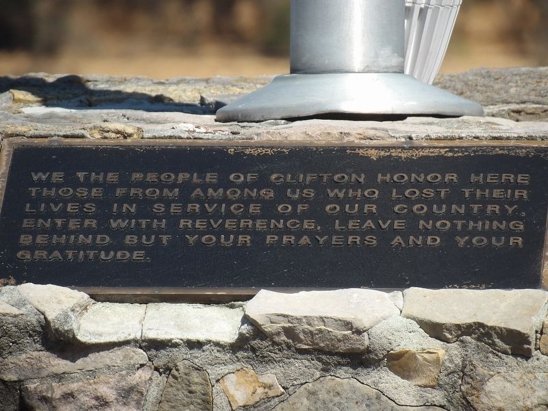
Photographed by Duane and Tracy Marsteller, May 17, 2019
1. Clifton Veterans Memorial Marker
Topics. This memorial is listed in this topic list: Military.
Location. 35° 23.242′ N, 87° 59.69′ W. Memorial is in Clifton, Tennessee, in Wayne County. It is at the intersection of East Water Street (Tennessee Route 128) and Main Street, on the left when traveling east on East Water Street. Touch for map. Memorial is at or near this postal address: 100 E Water St, Clifton TN 38425, United States of America. Touch for directions.

Regionally, this memorial is in Middle Tennessee and in the Highland Rim. It is also in the American South and specifically in the Upper South. Globally, it is in North America, the Western Hemisphere, the Western World, and the Anglosphere. Historically, it finds itself in what was once the territory of the Mississippian Culture, one of the Confederate States of America, and the Antebellum South.
Other nearby markers. At least 8 other markers are
this page online
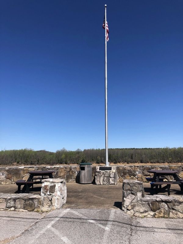
Photographed by Duane and Tracy Marsteller, April 2, 2023
2. Clifton Veterans Memorial
Credits. This page was last revised on April 10, 2023. It was originally submitted on April 10, 2023, by Duane and Tracy Marsteller of Murfreesboro, Tennessee. This page has been viewed 200 times since then and 19 times this year. Photos: 1, 2. submitted on April 10, 2023, by Duane and Tracy Marsteller of Murfreesboro, Tennessee.
