Broadway - Assiniboine in Winnipeg, Manitoba — Canada’s Prairie Region (North America)
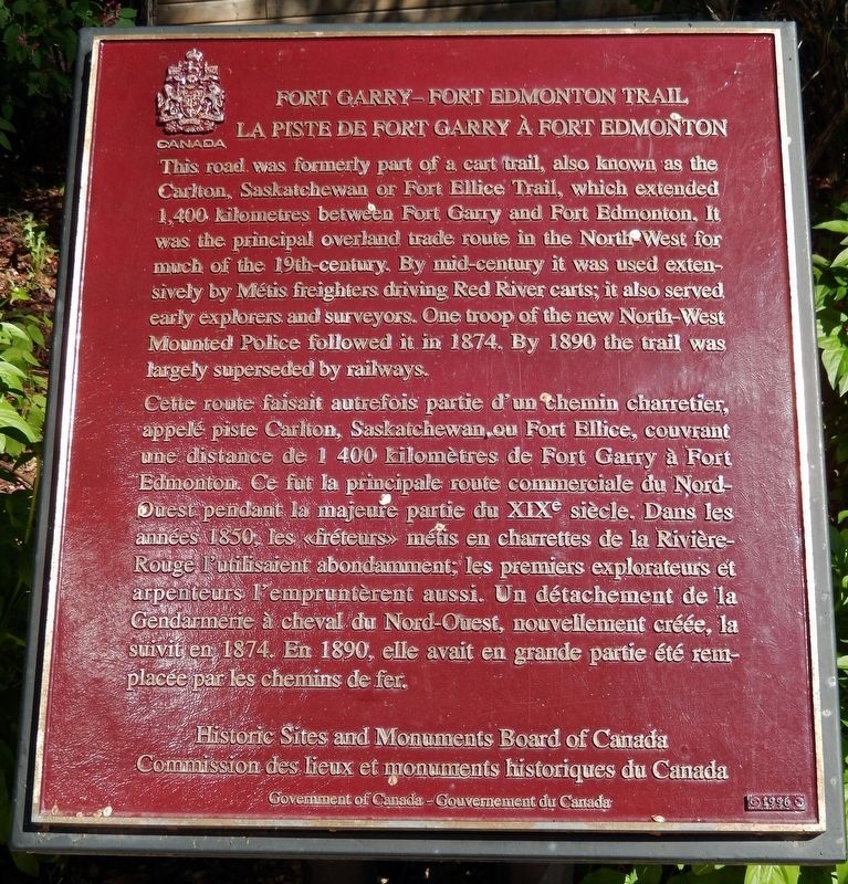
Fort Garry — Fort Edmonton Trail
La Piste de Fort Garry à Fort Edmonton
Erected 1996 by Historic Sites and Monuments Board of Canada/Commission des lieux et monuments historiques du Canada.
Topics and series. This historical marker is listed in these topic lists: Exploration • Industry & Commerce • Roads & Vehicles • Settlements & Settlers. In addition, it is included in the Canada, Historic Sites and Monuments Board series list. A significant historical year for this entry is 1874.
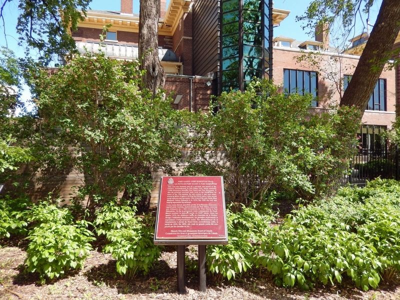
Location. 49° 53.278′ N, 97° 8.145′ W. Marker is in Winnipeg, Manitoba. It is in Broadway - Assiniboine. Marker can be reached from Main Street (Trans-Canada Highway) (Provincial Highway 1) just south of Broadway, on the right when traveling south. Marker is located along the walkway at the north end of Upper Fort Garry Heritage Provincial Park. Touch for map. Marker is at or near this postal address: 130 Main Street, Winnipeg MB R3C 1A4, Canada. Touch for directions.
Other nearby markers. At least 8 other markers are within walking distance of this marker. Ambroise-Didyme Lépine (here, next to this marker); Upper Fort Garry Gateway / Porte d'entrée d'Upper Fort Garry (within shouting distance of this marker); The Fort Garry (within shouting distance of this marker); The Fort Garry Hotel / L'hôtel Fort Garry (within shouting distance of this marker); Bonnycastle Park
(about 240 meters away, measured in a direct line); Pierre Gaultier de La Vérendrye (approx. 0.3 kilometers away); Dr. Amelia Yeomans / Le Docteur Amelia Yeomans (approx. 0.4 kilometers away); Canadian Northern Railway Freight Lift Bridge, East Yard (approx. half a kilometer away). Touch for a list and map of all markers in Winnipeg.
Related markers. Click here for a list of markers that are related to this marker. Upper Fort Garry Heritage Provincial Park
Credits. This page was last revised on April 11, 2023. It was originally submitted on April 10, 2023, by Cosmos Mariner of Cape Canaveral, Florida. This page has been viewed 68 times since then and 13 times this year. Photos: 1, 2. submitted on April 10, 2023, by Cosmos Mariner of Cape Canaveral, Florida.

