Fondulac Township in East Peoria in Tazewell County, Illinois — The American Midwest (Great Lakes)
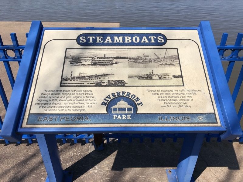
Steamboats
Although rail succeeded river traffic, today barges loaded with grain, construction materials, coal and chemicals travel from Peoria to Chicago (169 miles) or the Mississippi River near St. Louis, (163 miles).
Topics. This historical marker is listed in these topic lists: Disasters • Waterways & Vessels. A significant historical year for this entry is 1829.
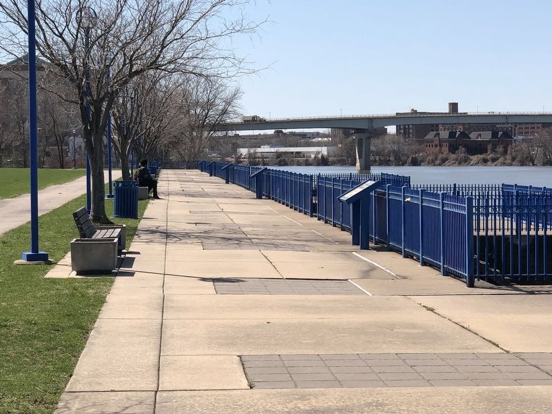
Location. 40° 41.08′ N, 89° 35.195′ W. Marker is in East Peoria, Illinois, in Tazewell County. It is in Fondulac Township. Marker can be reached from Riverside Drive, on the right when traveling west. Marker is in East Peoria Riverfront Park. Touch for map. Marker is at or near this postal address: 1201 Riverside Dr, East Peoria IL 61611, United States of America. Touch for directions.
Other nearby markers. At least 8 other markers are within walking distance of this marker. Bridges (a few steps from this marker); Railroads (within shouting distance of this marker); CILCO-Wallace Station (within shouting distance of this marker); Peoria Skyline (within shouting distance of this marker); East Peoria Veterans Memorial (about 700 feet away, measured in a direct line); Manitowoc Submarines (approx. ¼ mile away); Peoria on The Riverfront / Peoria (approx. 0.4 miles away); Schwab - Powell Building (approx. 0.4 miles away). Touch for a list and map of all markers in East Peoria.
Also see . . . Columbia (collapsed paddle steamer). Wikipedia entry on the disaster, which ended the bulk of the riverboat excursion business on the Illinois River. (Submitted on April 10, 2023, by Duane and Tracy Marsteller of Murfreesboro, Tennessee.)
Credits. This page was last revised on April 10, 2023. It was originally submitted on April 10, 2023, by Duane and Tracy Marsteller of Murfreesboro, Tennessee. This page has been viewed 71 times since then and 11 times this year. Photos: 1, 2. submitted on April 10, 2023, by Duane and Tracy Marsteller of Murfreesboro, Tennessee.

