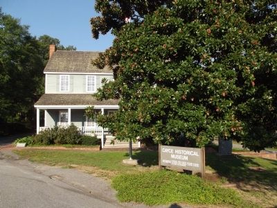
Cayce in Lexington County, South Carolina — The American South (South Atlantic)
The Post at the Congarees
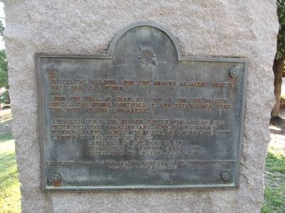
Upon the fall of Charles Town in 1780 the British seized the store, fortified it, and established here "The Post at the Congarees."
Attacked Feb. 19, 1781, by Gen. Sumter, who on the 21st, destroyed the magazine and supplies in sight of Rawdon's Army across the river, he having come from Camden to relieve the post.
Captured by Lee, May 15, 1781
Reoccupied by Rawdon, July 1, 1781
Reoccupied by Greene, July 4, 1781
Erected by William Capers Chapter Daughters of the American Revolution Columbia, S.C. May 15, 1925
Erected 1925 by William Capers Chapter Daughters of the American Revolution Columbia, S.C.
Topics and series. This historical marker is listed in this topic list: War, US Revolutionary. In addition, it is included in the Daughters of the American Revolution series list. A significant historical month for this entry is May 1972.
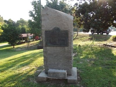
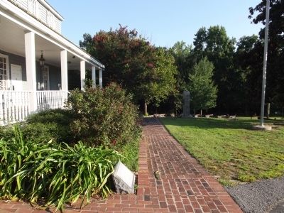
Location. 33° 58.179′ N, 81° 4.041′ W. Marker is in Cayce, South Carolina, in Lexington County. Marker can be reached from Morlaine Road. On the grounds of the Cayce Historical Museum. Touch for map. Marker is in this post office area: Cayce SC 29033, United States of America. Touch for directions.
Other nearby markers. At least 8 other markers are within 2 miles of this marker, measured as the crow flies. Emily Geiger (a few steps from this marker); Old State Road (approx. 1.1 miles away); World War II Monument and Memorial (approx. 1.1 miles away); Guignard Park (approx. 1.4 miles away); The Cherokee Path (approx. 1.8 miles away); Battle of Congaree Creek (approx. 1.8 miles away); Shelling of Columbia (approx. 1.9 miles away); River Inn, c. 1740s (approx. 1.9 miles away). Touch for a list and map of all markers in Cayce.
Credits. This page was last revised on April 13, 2023. It was originally submitted on September 3, 2012, by Anna Inbody of Columbia, South Carolina. This page has been viewed 786 times since then and 29 times this year. Last updated on April 13, 2023, by Mark St. Martin of Kalamazoo, Michigan. Photos: 1, 2, 3, 4, 5. submitted on September 3, 2012, by Anna Inbody of Columbia, South Carolina. • J. Makali Bruton was the editor who published this page.
