Terlingua in Brewster County, Texas — The American South (West South Central)
Terlingua Cemetery
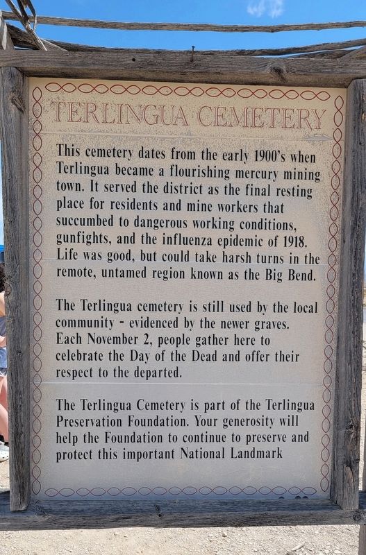
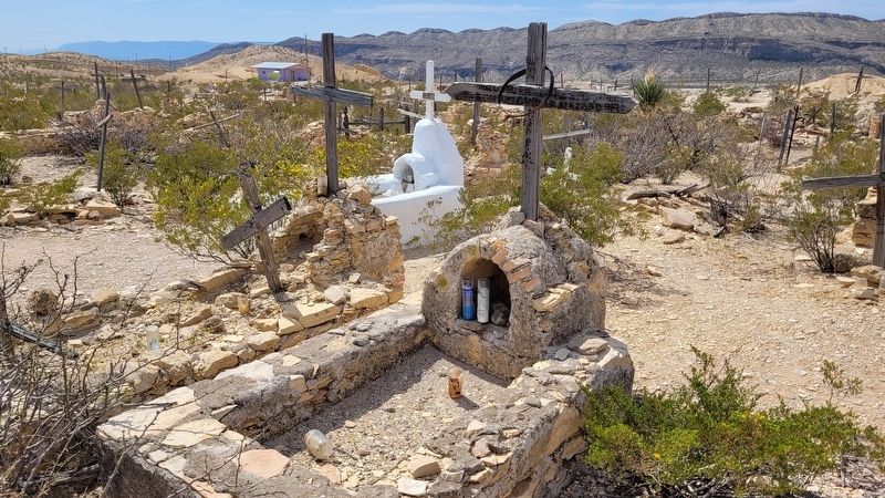
The Terlingua cemetery is still used by the local community - evidenced by the newer graves. Each November 2, people gather here to celebrate the Day of the Dead and offer their respect to the departed.
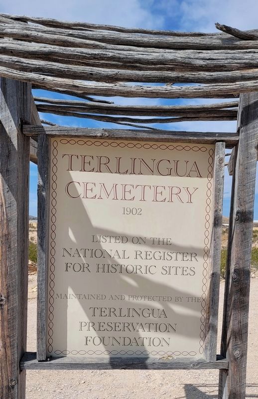
The Terlingua Cemetery is part of the Terlingua Preservation Foundation. Your generosity will help the Foundation to continue to preserve and protect this important National Landmark
Erected by Terlingua Preservation Foundation.
Topics. This historical marker is listed in this topic list: Cemeteries & Burial Sites. A significant historical date for this entry is November 2, 1918.
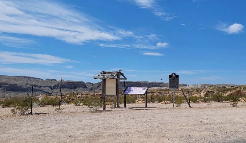
Location. 29° 19.182′ N, 103° 36.745′ W. Marker is in Terlingua, Texas, in Brewster County. Marker is at the intersection of Terlingua Ghost Town and Ivey Road, on the left when traveling north on Terlingua Ghost Town. The marker is located in the northeast section of the cemetery. Touch for map. Marker is at or near this postal address: 31 Terlingua Ghost Town, Terlingua TX 79852, United States of America. Touch for directions.
Other nearby markers. At least 8 other markers are within 9 miles of this marker, measured as the crow flies. Chisos Mine and Terlingua (here, next to this marker); Federico Villalba (here, next to this marker); Terlingua (approx. 0.4 miles away); Quicksilver (approx. 0.8 miles away); Ranching in the Big Bend (approx. 4.7 miles away); Big Bend Ranching: South (approx. 4.7 miles away); E.E. Townsend (approx. 6.4 miles away); Terlingua Abaja (approx. 8.4 miles away). Touch for a list and map of all markers in Terlingua.
Credits. This page was last revised on April 15, 2023. It was originally submitted on April 13, 2023, by James Hulse of Medina, Texas. This page has been viewed 109 times since then and 30 times this year. Photos: 1, 2. submitted on April 14, 2023, by James Hulse of Medina, Texas. 3, 4. submitted on April 15, 2023, by James Hulse of Medina, Texas.


