Plano in Collin County, Texas — The American South (West South Central)
First Presbyterian Church of Plano
Photographed by Jeff Leichsenring, April 11, 2023
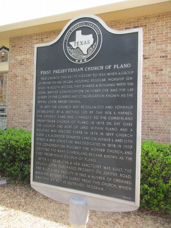
1. First Presbyterian Church of Plano Marker
In 1871 the church was reorganized and formally established at a meeting led by the Rev. I. Haynes. The church name was changed to the Cumberland Presbyterian Church of Plano. In 1873 Dr. Dye gave the church one acre of land within Plano and a building was erected there in 1874. In 1897 church elder J.K. Aldridge donated land on Avenue L and 15th street. A new structure was dedicated in 1898. In 1907 the congregation rejoined the mother church, and omitting the name Cumberland, became known as the First Presbyterian Church of Plano.
After a fire in 1938, a new sanctuary was built. The church later purchased property on Jupiter road, and built a new facility in 1967. A number of ordained ministers entered the clergy from this church, which maintains an active outreach program.
Erected 1997 by Texas Historical
this page online
Topics. This historical marker is listed in this topic list: Religion & Religious Structures.
Location. 33° 1.242′ N, 96° 40.921′ W. Marker is in Plano, Texas, in Collin County. It is at the intersection of Jupiter Road and East 15th Street, on the right when traveling north on Jupiter Road. Touch for map. Marker is at or near this postal address: 1500 Jupiter Rd, Plano TX 75074, United States of America. Touch for directions.

Regionally, this marker is in the Prairies & Lakes Region and in the Dallas-Fort Worth Metropolitan Area. Globally, it is in North America, a Gulf of Mexico state, the Western Hemisphere, the Western World, and the Anglosphere. Historically, it finds itself in what was once New Spain, the Republic of Texas, one of the Confederate States of America, and the Antebellum South.
Other nearby markers. At least 8 other markers are within 2 miles of this marker, measured as the crow flies: Plano Mutual Cemetery (approx. ¼ mile away); Mathews General Store (approx. 1.1 miles away); Plano National Bank / I.O.O.F. Lodge Building
Photographed by Jeff Leichsenring, April 11, 2023
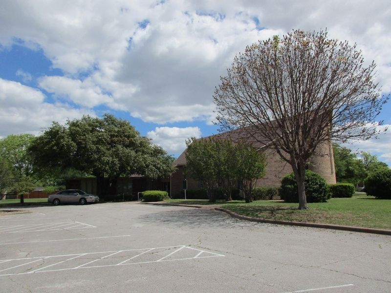
2. First Presbyterian Church of Plano and Marker
Credits. This page was last revised on May 4, 2024. It was originally submitted on April 13, 2023, by Jeff Leichsenring of Garland, Texas. This page has been viewed 249 times since then and 35 times this year. Photos: 1, 2. submitted on April 13, 2023, by Jeff Leichsenring of Garland, Texas. • James Hulse was the editor who published this page.
