Migdal in Kinneret, Northern District, Israel — West Asia (the Levant in the Middle East)
Production and Housing Area II
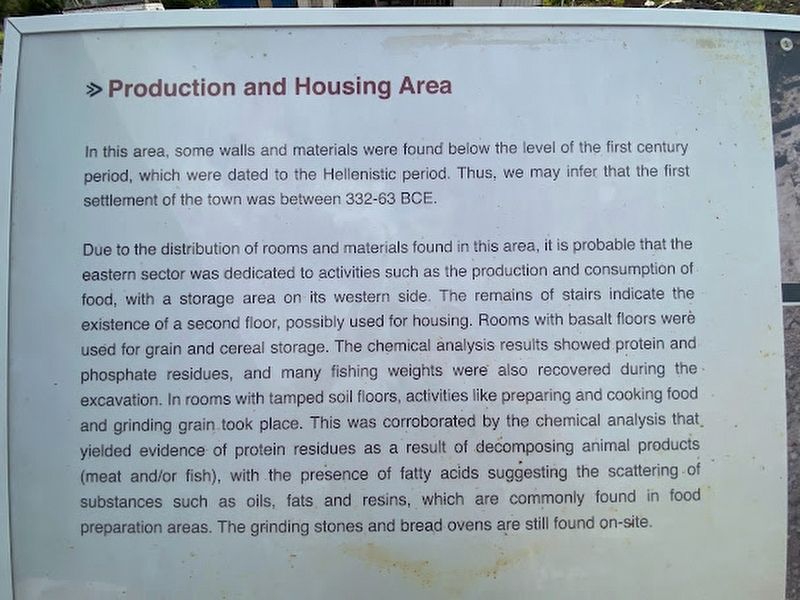
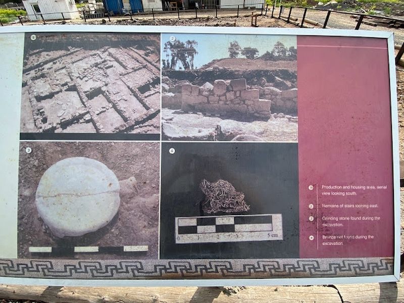
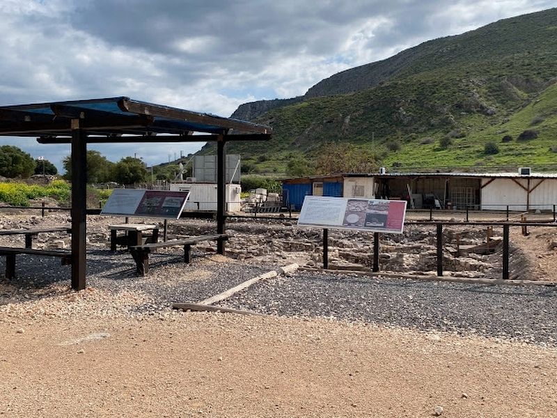
Due to the distribution of rooms and materials found in this area, it is probable that the eastern sector was dedicated to activities such as the production and consumption of food, with a storage area on its western side. The remains of stairs indicate the existence of a second floor, possibly used for housing. Rooms with basalt floors were used for grain and cereal storage. The chemical analysis results showed protein and phosphate residues, and many fishing weights were also recovered during the excavation. In rooms with tamped soil floors, activities like preparing and cooking food and grinding grain took place. This was corroborated by the chemical analysis that yielded evidence of protein residues as a result of decomposing animal products (meat and/or fish), with the presence of fatty acids suggesting the scattering of substances such as oils, fats and resins, which are commonly found in food preparation areas. The grinding stones and bread ovens are still found on-site.
Topics. This historical marker is listed in these topic lists: Anthropology & Archaeology • Industry & Commerce.
Location. 32° 49.574′ N, 35° 30.872′ E. Marker is in Migdal, Northern District, in Kinneret. Marker can be reached from Northern District Route 90. Touch for map. Touch for directions.
Other nearby markers. At least 8 other markers are within walking distance of this marker. Production and Housing Area I (here, next to this marker); Discoveries at Magdala (within shouting distance of this marker); Magdala's Hall of Fame (within shouting distance of this marker); Domestic Housing Area (within shouting distance of this marker); House of Miqwa'ot (about 90 meters away, measured in a direct line); a different marker also named House of Miqwa'ot (about 90 meters away); Market (about 90 meters away); The Migdal Synagogue (about 120 meters away). Touch for a list and map of all markers in Migdal.
Credits. This page was last revised on June 15, 2023. It was originally submitted on April 14, 2023, by Darren Jefferson Clay of Duluth, Georgia. This page has been viewed 37 times since then and 2 times this year. Photos: 1, 2, 3. submitted on April 14, 2023, by Darren Jefferson Clay of Duluth, Georgia. • Andrew Ruppenstein was the editor who published this page.


