Near Valier in Pondera County, Montana — The American West (Mountains)
A Dispute Over Horses and Guns
Inscription.
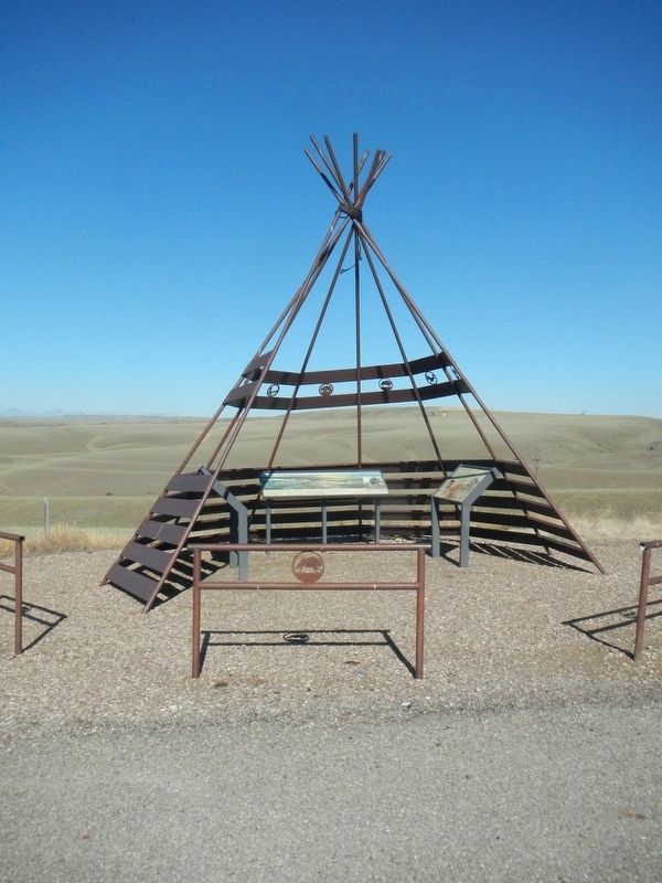
(There are three panels to this marker:)
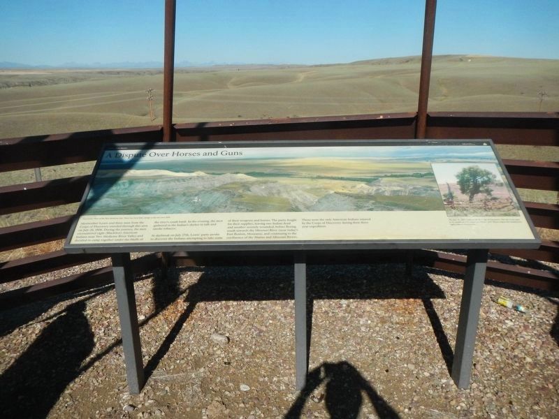
A Dispute Over Horses and Guns
Meriwether Lewis and three men from the Corps of Discovery traveled through this area on July 26, 1806. During the journey, the men encountered eight (Blackfeet) American Indians near Two Medicine River Valley and decided to camp together under the bluffs of the river's south bank. In the evening, the men gathered in the Indian's shelter to talk and smoking tobacco.
At daybreak on July 27th, Lewis' party awoke to discover the Indians attempting to take some of the weapons and horses. The party fought for their supplies, leaving one Indian dead and another severely wounded, before fleeing south toward the Missouri River (near today's Fort Benton, Montana), and continuing to the confluence of the Marias and Missouri Rivers.
These were the only American Indians injured by the Corps of Discovery during their three year expedition.
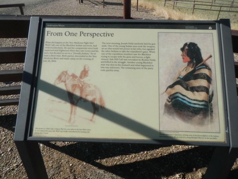
From One Perspective
What did happen at the Two Medicine Fight Site? Wolf Calf, one of the Blackfeet Indian survivors, had vivid recollections. He and his companions were both surprised and frightened when they saw Lewis and his men, but decided to act in a "friendly fashion," for at least a short time. Both parties defended to the Two Medicine River and made camp on the evening of July 26, 1806.
The next morning, Josep Field carelessly laid his gun aside. One of the young Indian men took the weapon, an act that would win power in his tribe, but signaled the other Indians to take the expedition's guns. When one of the expedition members saw the Blackfeet trying to escape with the guns and horses, a fight ensued. Side Hill Calf was overtaken by Reubin Fields and killed in the struggle. Another young Blackfeet man was shot in the stomach and what happened to his was unknown. The remaining men of the party rode quickly away.
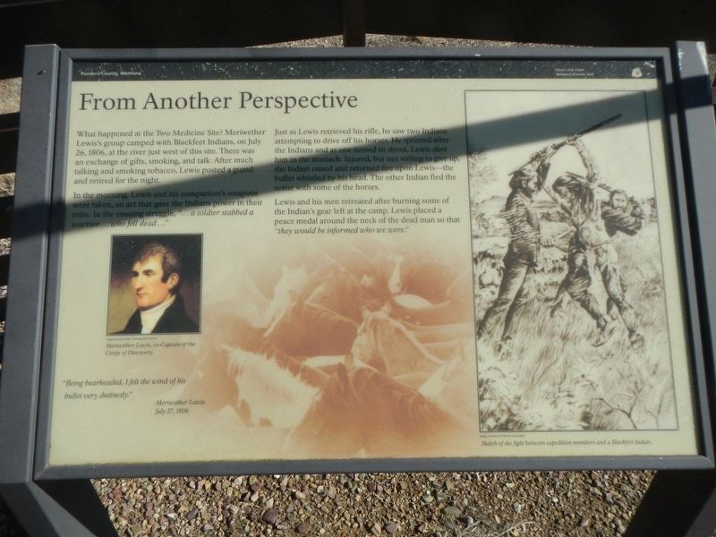
From Another Perspective
What happened at the Two Medicine Site? Meriwether Lewis's group camped with the Blackfeet Indians, on July 26, 1806, at the river just west of this site. There was an exchange of gifts, smoking and talk. After much talking and smoking tobacco, Lewis posted a guard and retired for the night.
In the morning, Lewis and his companion's weapons were taken, an act that gave the Indians power in their tribe. In the ensuing struggle, "...a soldier stabbed a warrior...who fell dead..."
Just as Lewis retrieved his rifle, he saw two Indians attempting to drive off his horses. He sprinted after the Indians and as one turned to shoot, Lewis shot him in the stomach. Injured, but not willing to give up, the Indian raised and returned fire upon Lewis -
Photographed By Barry Swackhamer, August 13, 2022
2. From One Perspective panel
Captions: (bottom left) This picture of Wolf Calf, a Piegan Warrior, was taken in late 1800s when he was almost 100 years old. Wolf Calf vividly remembered the meeting with Meriwether Lewis.; (bottom right) The Blackfeet had a reputation of being some of the fiercest fighters of the Indians. Karl Bodmer drew this portrait of a young Blackfeet Warrior in the mid-1800s.
Lewis and his men retreated after bringing some of the Indian's gear left at the camp. Lewis placed a peace medal around the neck of the dead man so that "they would be informed who we were."
"Being bearheaded, I felt the wind of his bullet very distinctly." -- Meriwether Lewis, July 27, 1806
Erected by Lewis & Clark National Historic Trail.
Topics. This historical marker is listed in these topic lists: Exploration • Native Americans. A significant historical date for this entry is July 27, 1806.
Location. 48° 28.981′ N, 112° 21.544′ W. Marker is near Valier, Montana, in Pondera County. Marker is on Valier Road (State Highway 358 at milepost 17) near TriGood Road, on the right when traveling south. Touch for map. Marker is in this post office area: Valier MT 59486, United States of America. Touch for directions.
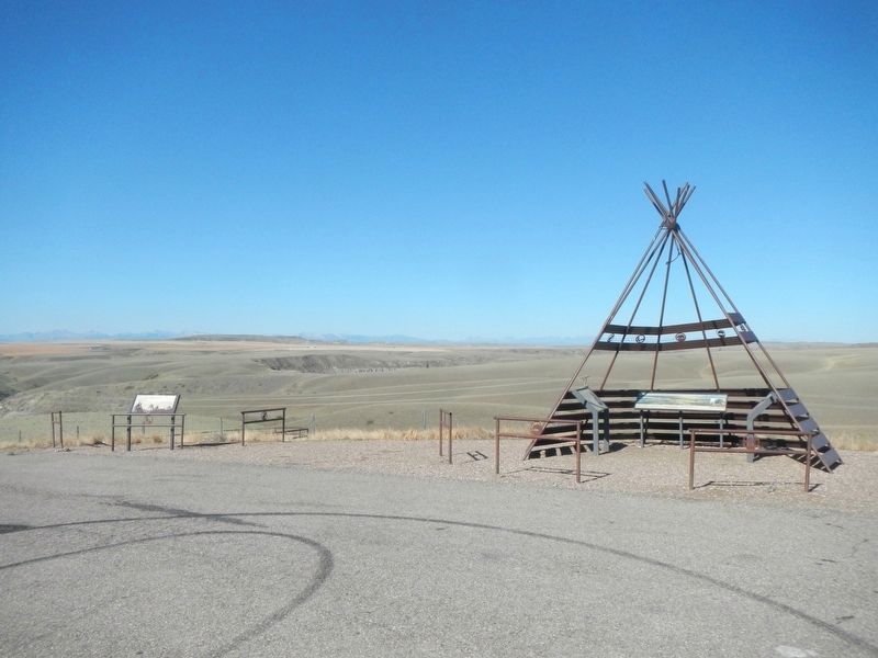
Other nearby markers. At least 6 other markers are within 14 miles of this marker, measured as the crow flies. Signs of Home (here, next to this marker); Cut Bank International Airport (approx. 8.6 miles away); a different marker also named Cut Bank International Airport (approx. 8.6 miles away); Valier Public School (approx. 13.2 miles away); Captain Meriwether Lewis (approx. 14 miles away); The 546th Missile Squadron (approx. 14 miles away).
Credits. This page was last revised on April 14, 2023. It was originally submitted on April 14, 2023, by Barry Swackhamer of Brentwood, California. This page has been viewed 109 times since then and 26 times this year. Photos: 1, 2, 3, 4, 5. submitted on April 14, 2023, by Barry Swackhamer of Brentwood, California.
