Downtown in Campbell in Santa Clara County, California — The American West (Pacific Coastal)
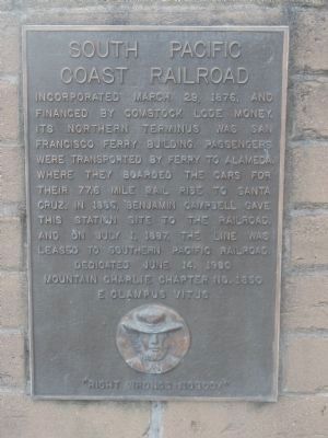
South Pacific Coast Railroad
Photographed by Syd Whittle, November 5, 2009
1. South Pacific Coast Railroad Marker
Erected 1980 by Mountain Charlie Chapter No. 1850, E. Clampus Vitus.
Topics and series. This historical marker is listed in this topic list: Railroads & Streetcars. In addition, it is included in the E Clampus Vitus series list. A significant historical date for this entry is March 29, 1876.
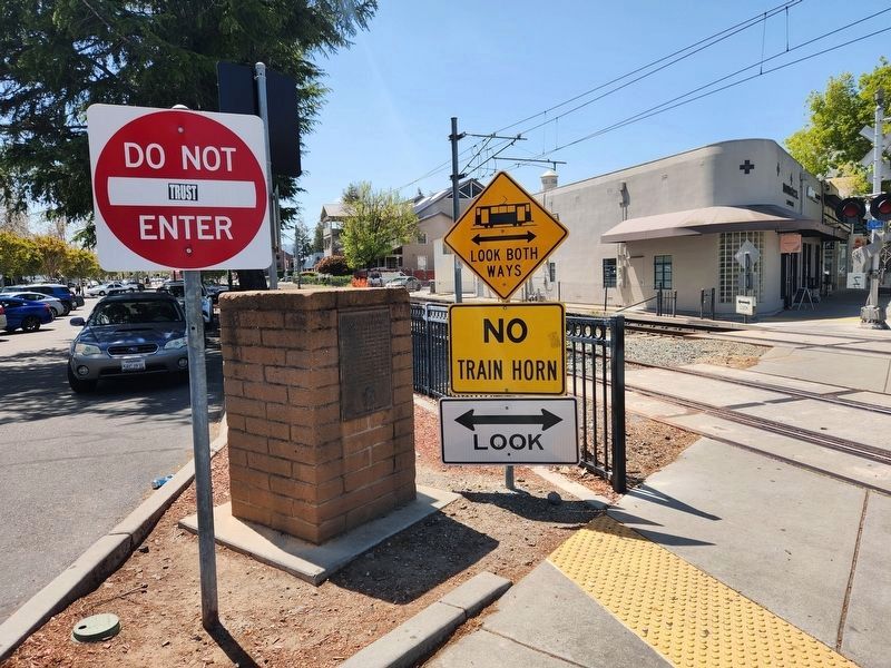
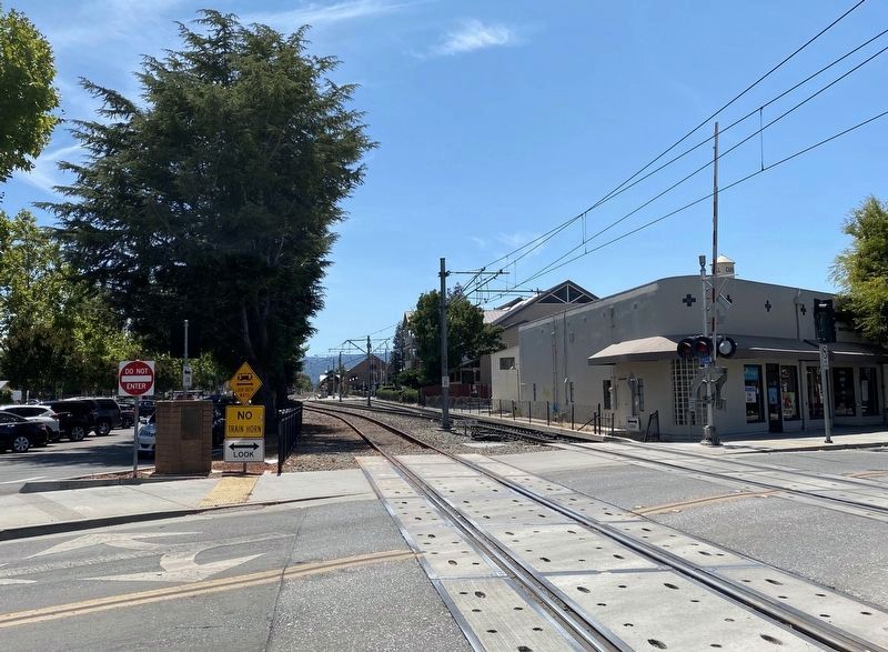
Location. 37° 17.219′ N, 121° 56.53′ W. Marker is in Campbell, California, in Santa Clara County. It is in Downtown. It is at the intersection of East Campbell Avenue and Railroad Avenue, on the right when traveling east on East Campbell Avenue. WARNING: Fast moving VTA Light Rail Trains do not stop here. For your safety, keep away from the nearby tracks. Touch for map. Marker is in this post office area: Campbell CA 95008, United States of America. Touch for directions.

Regionally,
this page online
Other nearby markers. At least 8 other markers are within walking distance of this marker: Black Walnut Trees (a few steps from this marker); Agricultural Heritage Plaques (a few steps from this marker); Site of J.C. Ainsley Packing Company (within shouting distance of this marker); B.O. Curry Building (within shouting distance of this marker); Growers National Bank (within shouting distance of this marker); Downing Building (within shouting distance of this marker); Bank of Campbell (Farley Building) (about 400 feet away, measured in a direct line); Farley Building (about 400 feet away). Touch for a list and map of all markers in Campbell.
Also see . . . The SPCRR. Website of the Society for the Preservation of Carter Railroad Resources.
Photographed by Matthew J Ebert, April 14, 2023
2. South Pacific Coast Railroad Marker
Photographed by Syd Whittle, November 5, 2009
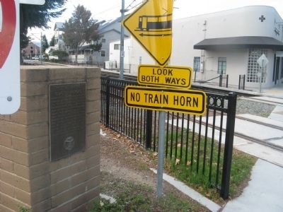
3. South Pacific Coast Railroad Marker
August 15, 2020
4. South Pacific Coast Railroad Marker - wide view
Credits. This page was last revised on March 26, 2026. It was originally submitted on November 6, 2009, by Syd Whittle of Mesa, Arizona. This page has been viewed 1,966 times since then and 57 times this year. Last updated on April 14, 2023, by Matthew J Ebert of Gerlach, NV. Photos: 1. submitted on November 6, 2009, by Syd Whittle of Mesa, Arizona. 2. submitted on April 14, 2023, by Matthew J Ebert of Gerlach, NV. 3. submitted on November 6, 2009, by Syd Whittle of Mesa, Arizona. 4. submitted on August 19, 2020. • Bill Pfingsten was the editor who published this page.
