Wayne Township near Waynesville in Warren County, Ohio — The American Midwest (Great Lakes)
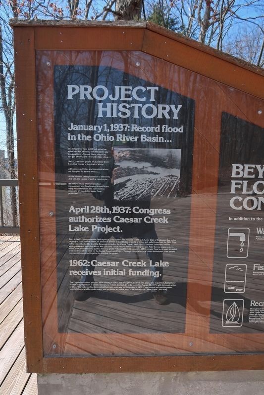
Project History
The Ohio River rises to 80 feet above low water level in Cincinnati, nine feet above any previous flood of record. Water, electricity, and gas services are severed in many cities …
500,000 or more people are suddenly driven from their homes in the dead of winter …
All business activities and communications are disrupted for several weeks …
A total disaster calling for action to effectively deal with the causes of such a catastrophe …
An in-depth study shows watershed management and flood control is insufficient, many more reservoirs and flood control measures are needed to insure flood protection …
April 28th, 1937: Congress authorizes Caesar Creek Lake Project.
Early in April, a comprehensive final report on flood control was released by the U.S. Army Chief of Engineers. Due to the urgency of flood control needs, an extensive system of coordinated projects of levees and walls throughout the Ohio River Valley was authorized by the U.S. Congress, including the Caesar Creek Lake Project. Economic constraints slowed appropriations of funds and World War II focused a total national effort on winning the war. After the war, many projects within the Ohio River Valley pushed forward, greatly reducing the flood hazard. In 1959, a major flood once again reminded area residents of the need for the Caesar Creek Lake Project. Through cooperative local citizen involvement, their elected representatives worked together to prioritize the project.
1962: Caesar Creek Lake receives initial funding.
The Legislative Process provided initial funding in 1962, and throughout the next nine years, land acquisition, background studies and preparation of construction plans enabled the first dirt to be moved on August 30, 1971, with the construction of dikes. The outlet works, dam, and spillway were underway on September 9, 1972. Flood control and resulting water supply, fish and wildlife enhancement, and recreation are now a soon to be reality in the Caesar Creek Lake Valley.
Topics. This historical marker is listed in these topic lists: Disasters • Waterways & Vessels. A significant historical date for this entry is January 1, 1937.
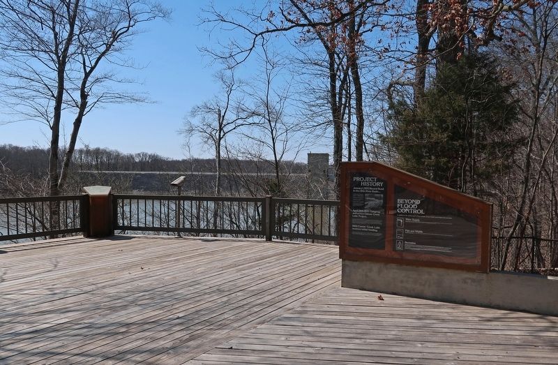
Location. 39° 29.284′ N, 84° 3.486′ W. Marker is near Waynesville, Ohio, in Warren County. It is in Wayne Township. Marker can be reached from North Clarksville Road (County Road 37) north of Caesar Creek Gorge Access Road, on the right when traveling north. Marker is on the observation deck at Caesar Creek Lake Visitor Center. Touch for map. Marker is at or near this postal address: 4020 N Clarkesville Rd, Waynesville OH 45068, United States of America. Touch for directions.
Other nearby markers. At least 8 other markers are within 6 miles of this marker, measured as the crow flies. Harveysburg / The Harveysburg School (approx. 2.9 miles away); The Bullskin Trace (approx. 3.3 miles away); John Evans House (approx. 3.4 miles away); Friends Burial Ground (approx. 3.4 miles away); Jonah’s Run Baptist Church / Underwood Farms Rural Historic District (approx. 4.2 miles away); Twin Mounds & Parallel Walls (approx. 5.7 miles away); Interpretive Stations - Trail Guide - Other Points Of Interest (approx. 5.8 miles away); Astronomical Alignments (approx. 5.8 miles away). Touch for a list and map of all markers in Waynesville.
Credits. This page was last revised on April 14, 2023. It was originally submitted on April 14, 2023, by Duane and Tracy Marsteller of Murfreesboro, Tennessee. This page has been viewed 92 times since then and 7 times this year. Photos: 1, 2. submitted on April 14, 2023, by Duane and Tracy Marsteller of Murfreesboro, Tennessee.

