High Springs in Alachua County, Florida — The American South (South Atlantic)
High Springs, Florida
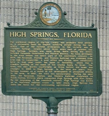
Photographed by Mike Stroud, March 20, 2013
1. High Springs, Florida Marker
this page online
Erected 1973 by Alachua County Historical Commission In Cooperation With Department of State. (Marker Number F-217.)
Topics. This historical marker is listed in this topic list: Notable Places. A significant historical year for this entry is 1884.
Location. 29° 49.659′ N, 82° 35.887′ W. Marker is in High Springs, Florida, in Alachua County. It is on NW 1st Avenue State Route 20 (U.S. 27), on the right when traveling west. Located between NW 1st and NW 2nd Streets. Touch for map. Marker is at or near this postal address: 110 NW 1st Avenue, High Springs FL 32643, United States of America. Touch for directions.

Regionally, this marker is in North Florida. It is also in the American South. Globally, it is in the North Atlantic Region, North America, a Gulf of Mexico state, the Western Hemisphere, the Western World, and the Anglosphere. Historically, it finds itself in what was once New Spain, the territory of the Mississippian Culture,
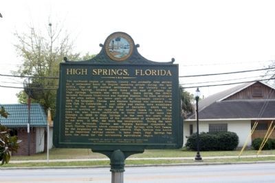
Photographed by Mike Stroud, March 20, 2013
2. High Springs, Florida Marker, along NW 1st Avenue State Route 20 (U.S. 27)
Other nearby markers. At least 8 other markers are within 6 miles of this marker, measured as the crow flies: American Legion Veterans Memorial (within shouting distance of this marker); Railroading In High Springs (about 400 feet away, measured in a direct line); Douglass High School (approx. 0.6 miles away); 1824 - The Bellamy Road - 1952 (approx. 4.3 miles away); Springhill Methodist Church/Traxler, Fla. (approx. 4.6 miles away); Spring Hill United Methodist Church / Bellamy Road (approx. 4.6 miles away); William Henry Traxler (approx. 4.6 miles away); "CCC Boy" Statue (approx. 6.1 miles away). Touch for a list and map of all markers in High Springs.
More about this marker. Drove by today, and the marker has finally been returned to his former location. TF 4/15/25
Also see . . . High Springs. According to the United States Census Bureau, the city has a total area of 18.5 square miles (48 km2). 18.5 square miles (48 km2) of it is land and 0.04 square miles (0.10 km2) of it (0.16%) is water. (Submitted on April 9, 2013, by Mike Stroud of Bluffton, South Carolina.)
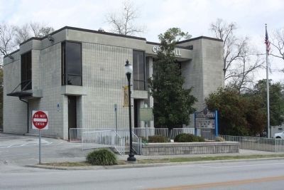
Photographed by Mike Stroud, March 20, 2013
3. High Springs, Florida Marker (center) at City Hall
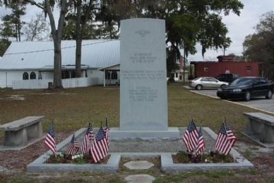
Photographed by Mike Stroud, March 20, 2013
4. High Springs, Florida, American Legion Veterans Memorial, nearby
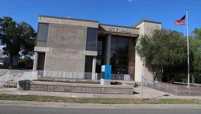
Photographed by Dave W, April 16, 2023
5. High Springs, Florida Marker
The marker is no longer in front of the City Hall building.
Credits. This page was last revised on April 15, 2025. It was originally submitted on April 8, 2013, by Mike Stroud of Bluffton, South Carolina. This page has been viewed 1,853 times since then and 121 times this year. Last updated on April 17, 2023, by Dave W of Co, Colorado. Photos: 1, 2, 3, 4. submitted on April 9, 2013, by Mike Stroud of Bluffton, South Carolina. 5. submitted on April 17, 2023, by Dave W of Co, Colorado. • J. Makali Bruton was the editor who published this page.
