Sidney in Delaware County, New York — The American Northeast (Mid-Atlantic)
January 1996 Flash Flood In The Susquehanna River Basin
Inscription.
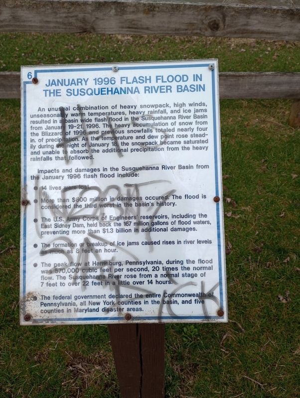
An unusual combination of heavy snowpack, high winds, unseasonably warm temperatures, heavy rainfall, and ice jams resulted in a basin wide flash flood in the Susquehanna River Basin from January 19-21, 1996. The heavy accumulation of snow from the Blizzard of 1996 and previous snowfalls totaled nearly four in. of precipitation. As the temperature and dew point rose steadily during the night of January 18, the snowpack became saturated and unable to absorb the additional precipitation from the heavy rainfalls that followed.
Impacts and damages in the Susquehanna River Basin from the January 1996 flash flood include:
14 lives were lost
More than $600 million in damages occurred. The flood is considered the third worst in the basin's history.
The U.S. Army Corps of Engineers reservoirs, including the East Sidney Dam, held back the 167 million gallons of flood waters, preventing more than $1.3 billion in additional damages.
The formation or breakup of ice jams caused rises in river levels e much as & feet an hour.
The peak flow at Harrisburg, Pennsylvania, during the flood was 570,000 cubic feet per second, 20 times the normal flow. The Susquehanna River rose from a normal stage of 7 feet to over 22 feet in a little over 14 hours.
The federal government declared the entire Commonwealth of Pennsylvania, all New York counties in the basin, and five counties in Maryland disaster areas. (Marker Number 6.)
Topics. This historical marker is listed in these topic lists: Disasters • Waterways & Vessels. A significant historical date for this entry is January 19, 1996.
Location. 42° 18.872′ N, 75° 24.174′ W. Marker is in Sidney, New York, in Delaware County. Marker can be reached from River Street north of Dunham Street, on the right when traveling west. Touch for map. Marker is in this post office area: Sidney NY 13838, United States of America. Touch for directions.
Other nearby markers. At least 8 other markers are within walking distance of this marker. Acer Saccharum (within shouting distance of this marker); Mayor Elwood "Dixie" Davis (within shouting distance of this marker); The Covered Bridge at Sidney (within shouting distance of this marker); High Water Mark (within shouting distance of this marker); Larry "L.T." Thrower (about 400 feet away, measured in a direct line); The Susquehanna River's Food Chain (about 500 feet away); Sidney Firemen's Memorial Park (about 600 feet away); Old Unadilla (about 700 feet away). Touch for a list and map of all markers in Sidney.
Credits. This page was last revised on April 22, 2023. It was originally submitted on April 18, 2023, by Craig Doda of Napoleon, Ohio. This page has been viewed 62 times since then and 17 times this year. Photos: 1, 2. submitted on April 18, 2023, by Craig Doda of Napoleon, Ohio. • Michael Herrick was the editor who published this page.

