Sidney in Delaware County, New York — The American Northeast (Mid-Atlantic)
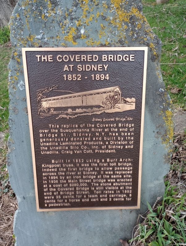
The Covered Bridge at Sidney
1852 - 1894
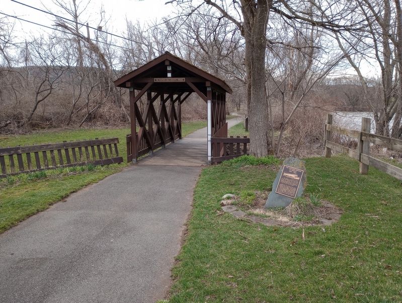
This replica of the Covered Bridge over the Susquehanna River at the end of Bridge St., Sidney, N.Y. has been generously donated and built by the Unadilla Laminated Products, a Division of the Unadilla Silo Co., Inc. of Sidney and Unadilla, Craig Van Cott, President.
Built in 1852 using a Burr Arch-Kingpost truss, it was the first toll bridge, indeed the first bridge to allow passage across the river at Sidney. It was replaced in 1894 by an Iron bridge at the same site. In 1936 the Main Street bridge was erected at a cost of $280,000. The stone abutment of the Covered Bridge is still visible at the end of Bridge Street. Toll rates in 1852 were 25 cents for a team and carriage, 8 cents for a horse and cart and 2 cents for a pedestrian.
Topics and series. This historical marker is listed in this topic list: Bridges & Viaducts. In addition, it is included in the Covered Bridges series list. A significant historical year for this entry is 1894.
Location. 42° 18.888′ N, 75° 24.206′ W. Marker is in Sidney, New York, in Delaware County. Marker can be reached from River Street north of Dunham Street, on the right when traveling west. Touch for map. Marker is in this post office area: Sidney NY 13838, United States of America. Touch for directions.
Other nearby markers. At least 8 other markers are within walking distance of this marker. High Water Mark (a few steps from this marker); January 1996 Flash Flood In The Susquehanna River Basin (within shouting distance of this marker); Acer Saccharum (about 300 feet away, measured in a direct line); Mayor Elwood "Dixie" Davis (about 300 feet away); Larry "L.T." Thrower (about 500 feet away); The Susquehanna River's Food Chain (about 700 feet away); Old Unadilla (about 700 feet away); Sidney Firemen's Memorial Park (about 800 feet away). Touch for a list and map of all markers in Sidney.
Credits. This page was last revised on April 22, 2023. It was originally submitted on April 18, 2023, by Craig Doda of Napoleon, Ohio. This page has been viewed 82 times since then and 18 times this year. Photos: 1, 2. submitted on April 18, 2023, by Craig Doda of Napoleon, Ohio. • Michael Herrick was the editor who published this page.

