Brownsville in Cameron County, Texas — The American South (West South Central)
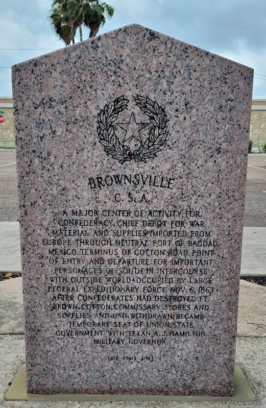
Brownsville C.S.A.
(see other side)
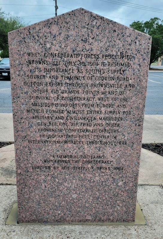
Reverse Side
When Confederate forces reoccupied Brownsville July 30, 1864 it resumed its importance as South's supply source and terminus of Cotton Road. Cotton export through Brownsville and other Rio Grande points means of survival of Confederacy west of the Mississippi. Imports from Europe and Mexico formed almost entire supply for military and civilian. Gen. Magruder, Gen. Bee, Col Rip Ford and other prominent Confederate officers headquartered here. Center of international intrigue throughout war.
A memorial to Texans who served the Confederacy
Erected 1964 by State of Texas. (Marker Number 538.)
Topics. This historical marker is listed in this topic list: War, US Civil. A significant historical date for this entry is October 6, 1863.
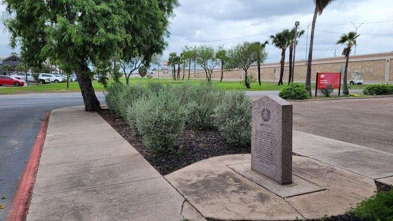
Location. 25° 57.01′ N, 97° 30.352′ W. Marker is in Brownsville, Texas, in Cameron County. Marker is at the intersection of East Ruben M Torres Boulevard and Frontage Road, on the right when traveling west on East Ruben M Torres Boulevard. The marker is located on the north side of the Brownsville Convention & Visitors Bureau. Touch for map. Marker is at or near this postal address: 650 E Ruben M Torres Blvd, Brownsville TX 78520, United States of America. Touch for directions.
Other nearby markers. At least 8 other markers are within 2 miles of this marker, measured as the crow flies. Palo Alto Battlefield National Park (here, next to this marker); The Battle of Palo Alto (here, next to this marker); Cameron County (within shouting distance of this marker); Monumental History (approx. 1.4 miles away); The Resaca de la Palma Battlesite (approx. 1.4 miles away); Border War (approx. 1.4 miles away); Resaca de la Palma (approx. 1.4 miles away); The Battle of Resaca de la Palma (approx. 1.4 miles away). Touch for a list and map of all markers in Brownsville.
Credits. This page was last revised on April 23, 2023. It was originally submitted on April 20, 2023, by James Hulse of Medina, Texas. This page has been viewed 91 times since then and 23 times this year. Photos: 1, 2, 3. submitted on April 21, 2023, by James Hulse of Medina, Texas.


