Salem in Essex County, Massachusetts — The American Northeast (New England)
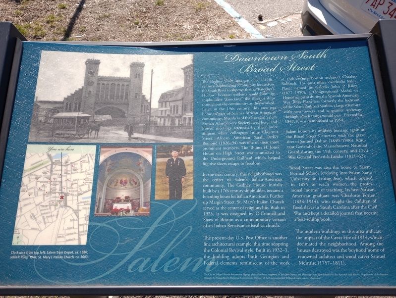
Downtown South Broad Street
The Gedney Street area was once a 17th- century shipbuilding community located on the South River and known then as "Knocker's Hollow because residents could hear the shipbuilders knocking the sides of ships throughout the community as they worked. Later, in the 19th century, this area was home to part of Salem's African American community Members of the bi-racial Salem Female Anti-Slavery Society lived here, and hosted meetings attended by their more affluent white colleagues from Chestnut Street. African American Sarah Parker Remond (1826-94) was one of their most prominent members. The Thoms H. Jones House on High Street was connected to the Underground Railroad which helped fugitive slaves escape to freedom.
In the next century, this neighborhood was the center of Salem's Italian-American community. The Gedney House, initially built by a 17th century shipbuilder, became a boarding house for Italian Americans. Further up Margin Street, St. Mary's Italian Church served as the center of religious life. Built in 1925, it was designed by O'Connell and Shaw of Boston as a contemporary version of an Italian Renaissance basilica church.
The present-day U.S. Post Office is another fine architectural example, this time adopting the Colonial Revival style. Built in 1932-3, the building adopts both Georgian and Federal elements reminiscent of the work of 18th-century Boston architect Charles Bulfinch. The post office overlooks Riley Plaza, named for Salem's John P. Riley (1877-1950), a Congressional Medal of Honor recipient during the Spanish American War Riley Plaza was formerly the location of the Salem Railroad Station, a large structure with two towers and a granite archway through which trains would Erected in 1847, it was demolished in 1954.
Salem honors its military heritage again at the Broad Street Cemetery with the grave sites of Samuel Dalton (1840-1906), Adjutant General of the Massachusetts National Guard during the 19th century, and Civil War General Frederick Lander (1821-62).
Broad Street was also the home to Salem Normal School (evolving into Salem State University on Loring Ave), which opened in 1854 to teach women the professional "norms” of teaching. Its first African American graduate was Charlotte Forten (1838-1914), who taught the children of freed slaves in South Carolina after the Civil War and kept a detailed journal that became a best-selling book.
The modern buildings in this area indicate the impact of the Great Fire of 1914, which decimated the neighborhood. Among the houses destroyed was the boyhood home of renowned architect and wood carver Samuel McIntire (1757-1811).
Topics. This historical marker is listed in these topic lists: Abolition & Underground RR • Architecture • Education • Railroads & Streetcars. A significant historical year for this entry is 1925.
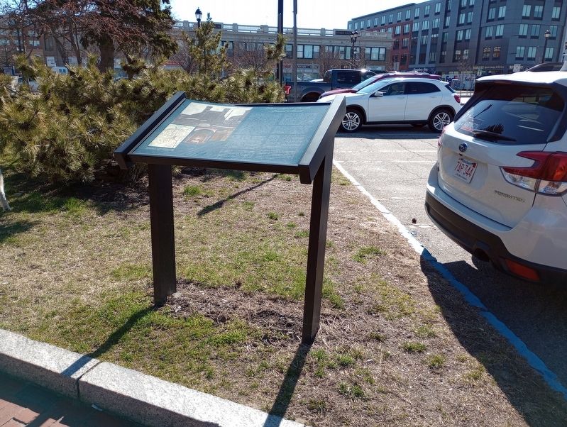
Location. 42° 31.161′ N, 70° 53.762′ W. Marker is in Salem, Massachusetts, in Essex County. Marker is at the intersection of Margin Street and Gedney Street, on the right when traveling north on Margin Street. Located in Riley Plaza. Touch for map. Marker is in this post office area: Salem MA 01970, United States of America. Touch for directions.
Other nearby markers. At least 8 other markers are within walking distance of this marker. Massachusetts 59 POW & MIA Memorial (a few steps from this marker); John P. Riley, U.S.N. (within shouting distance of this marker); Elizabeth Montgomery as Samantha Stephens (about 700 feet away, measured in a direct line); Brigadier General Frederick West Lander (about 700 feet away); Thomas Barnard D.D. (about 700 feet away); The Town House (about 700 feet away); The First Meeting House Erected in Salem (about 800 feet away); Deacon John Stone House (about 800 feet away). Touch for a list and map of all markers in Salem.
Credits. This page was last revised on April 23, 2023. It was originally submitted on April 20, 2023, by Craig Doda of Napoleon, Ohio. This page has been viewed 58 times since then and 17 times this year. Photos: 1, 2. submitted on April 20, 2023, by Craig Doda of Napoleon, Ohio. • Michael Herrick was the editor who published this page.

