Brownsville in Cameron County, Texas — The American South (West South Central)
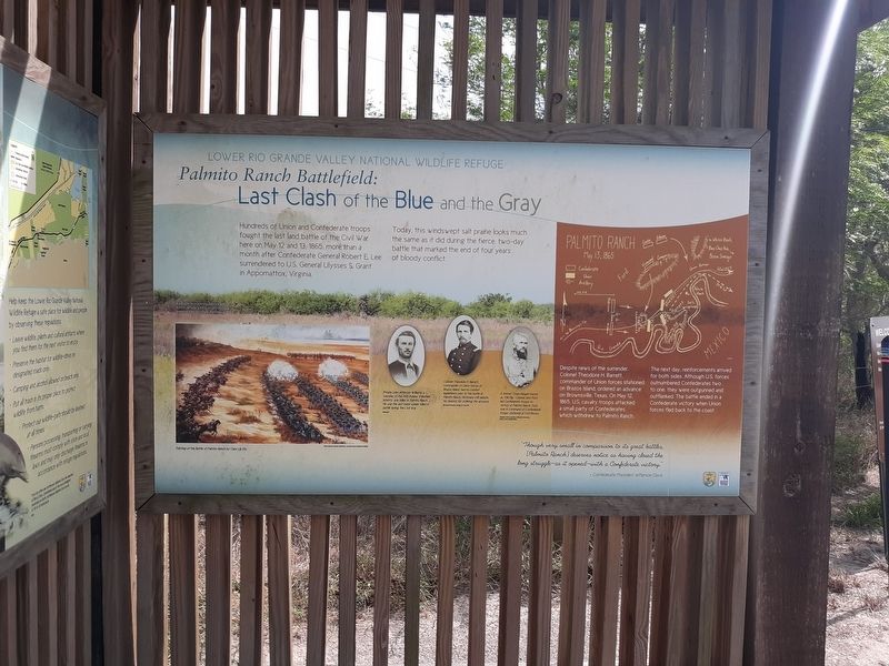
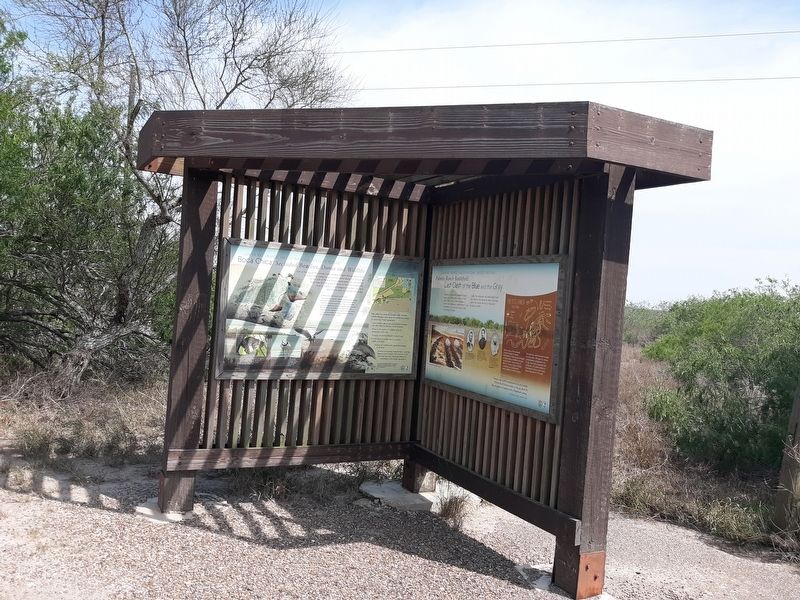
Palmito Ranch Battlefield: Last Clash of the Blue and the Gray
Lower Rio Grande Valley National Wildlife Refuge
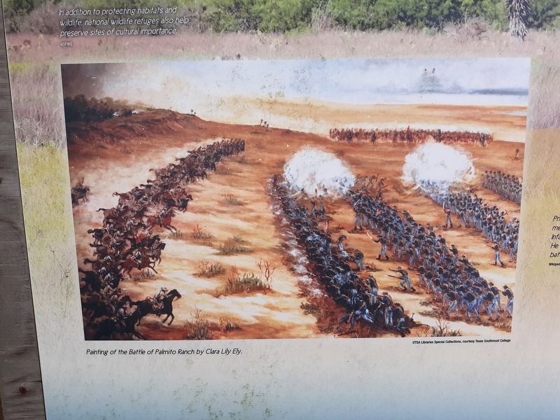
Today, this windswept salt prairie looks much the same as it did during the fierce, two-day battle that marked the end of four years of bloody conflict.
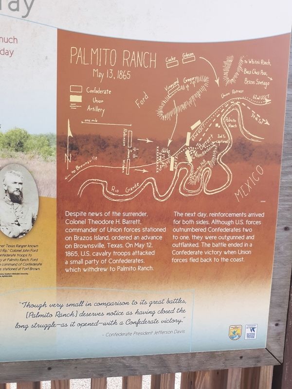
Palmito Ranch
May 13, 1865
Despite news of the surrender, Colonel Theodore H. Barrett, commander of Union forces stationed on Brazos Island, ordered an advance on Brownsville, Texas. On May 12, 1865, U.S. cavalry troops attacked a small party of Confederates, which withdrew to Palmito Ranch.
The next day, reinforcements arrived for both sides. Although U.S. forces outnumbered Confederates two to one, they were outgunned and outflanked. The battle ended in a Confederate victory when Union forces fled back to the coast.
"Though very small in comparison to its great battles, [Palmito Ranch] deserves notice as having closed the long struggle—as it opened—with a Confederate victory."
- Confederate President Jefferson Davis
(captions)
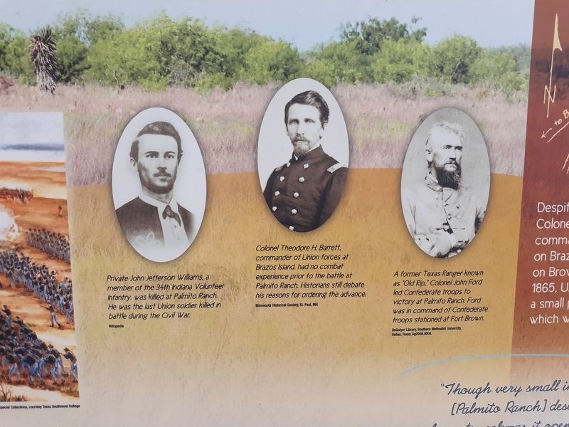
Private John Jefferson Williams, a member of the 34th Indiana Volunteer Infantry, was killed at Palmito Ranch. He was the last Union soldier killed in battle during the Civil War. Wikipedia
Colonel Theodore H. Barrett, commander of Union forces at Brazos Island, had no combat experience prior to the battle at Palmito Ranch. Historians still debate his reasons for ordering the advance. Minnesota Historical Society, St. Paul, MN
A former Texas Ranger known as "Old Rip", Colonel John Ford led Confederate troops to victory at Palmito Ranch. Ford was in command of Confederate troops stationed at Fort Brown. DeGolyer Library, Southern Methodist University, Dallas, Texas, Ag2008.0005.
Topics. This historical marker is listed in this topic list: War, US Civil. A significant historical date for this entry is May 13, 1865.
Location. 25° 57.693′ N, 97° 18.089′ W. Marker is in Brownsville, Texas, in Cameron County. Marker is on Boca Chica Boulevard (State Highway 4) 0.2 miles east of Palmito Hill Road, on the right when traveling east. Touch for map. Marker is in this post office area: Brownsville TX 78521, United States of America. Touch for directions.
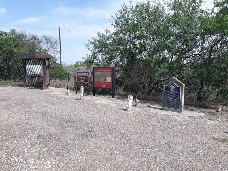
Other nearby markers. At least 8 other markers are within 7 miles of this marker, measured as the crow flies. Exploring The Boundaries (here, next to this marker); Battle of Palmito Ranch (a few steps from this marker); Last Battle of the Civil War (approx. 0.2 miles away); Divided Loyalties: Hispanics in the Civil War (approx. 0.2 miles away); The High Price of Cotton (approx. 0.2 miles away); a different marker also named The Battle of Palmito Ranch (approx. 0.2 miles away); Site of Camp Belknap (approx. 4.4 miles away); Port of Brownsville (approx. 6.9 miles away). Touch for a list and map of all markers in Brownsville.
Credits. This page was last revised on April 22, 2023. It was originally submitted on January 13, 2021, by Craig Doda of Napoleon, Ohio. This page has been viewed 271 times since then and 36 times this year. Last updated on April 21, 2023, by Carl Gordon Moore Jr. of North East, Maryland. Photos: 1, 2, 3, 4, 5, 6. submitted on January 13, 2021, by Craig Doda of Napoleon, Ohio. • J. Makali Bruton was the editor who published this page.
