Near Brownsville in Cameron County, Texas — The American South (West South Central)
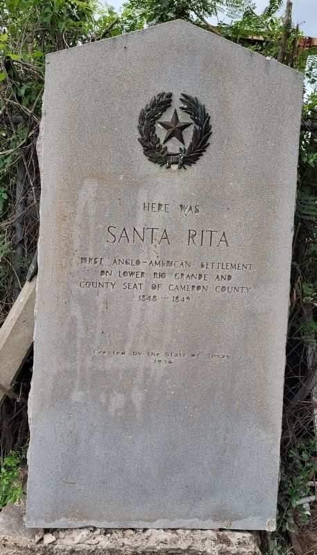
Here Was Santa Rita
on Lower Rio Grande and
county seat of Cameron County
1848 - 1849
Erected 1936 by State of Texas. (Marker Number 4586.)
Topics and series. This historical marker is listed in these topic lists: Industry & Commerce • Law Enforcement • Settlements & Settlers. In addition, it is included in the Texas 1936 Centennial Markers and Monuments series list. A significant historical year for this entry is 1848.
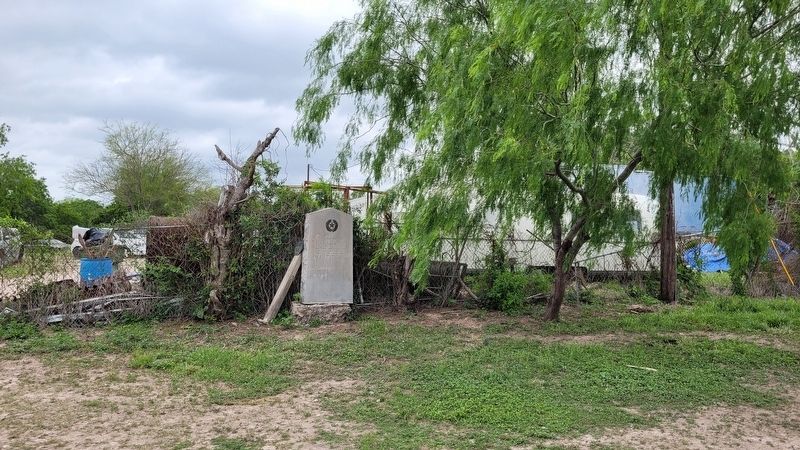
Location. 25° 57.033′ N, 97° 33.519′ W. Marker is near Brownsville, Texas, in Cameron County. Marker is on Old Military Road (County Highway 269) 0.1 miles west of Military Road (U.S. 282), on the right when traveling west. The marker is located along the outside fence line to a residential house. Touch for map. Marker is at or near this postal address: 2915 Old Military Road, Brownsville TX 78520, United States of America. Touch for directions.
Other nearby markers. At least 8 other markers are within 4 miles of this marker, measured as the crow flies. Estéfana Goseascochea Cemetery (approx. 1½ miles away); Sabas Cavazos Cemetery (approx. 3.3 miles away); Palo Alto Battlefield National Park (approx. 3.3 miles away); Brownsville C.S.A. (approx. 3.3 miles away); The Battle of Palo Alto (approx. 3.3 miles away); Cameron County (approx. 3.3 miles away); "Rancho Viejo" (approx. 3.3 miles away); Hicks-Gregg House (approx. 3½ miles away). Touch for a list and map of all markers in Brownsville.
Also see . . . Santa Rita, TX. Texas State Historical Association (TSHA)
Santa Rita was on the Rio Grande five miles west of Brownsville in what is now Cameron County. It was possibly the earliest town that was named by English-speaking people in that area, and was the first seat of government in the county. In the late 1700s the land on the south bank of the river was claimed by José Narciso Cavazos of Reynosa, who called it Santa Rita, and by José Salvador de la Garza, who received the Espíritu Santo land grant.(Submitted on April 23, 2023, by James Hulse of Medina, Texas.)
Credits. This page was last revised on April 23, 2023. It was originally submitted on April 23, 2023, by James Hulse of Medina, Texas. This page has been viewed 91 times since then and 36 times this year. Photos: 1, 2, 3. submitted on April 23, 2023, by James Hulse of Medina, Texas.


