Near Logansport in De Soto Parish, Louisiana — The American South (West South Central)
International Boundary
Photographed by Mark Hilton, June 28, 2017
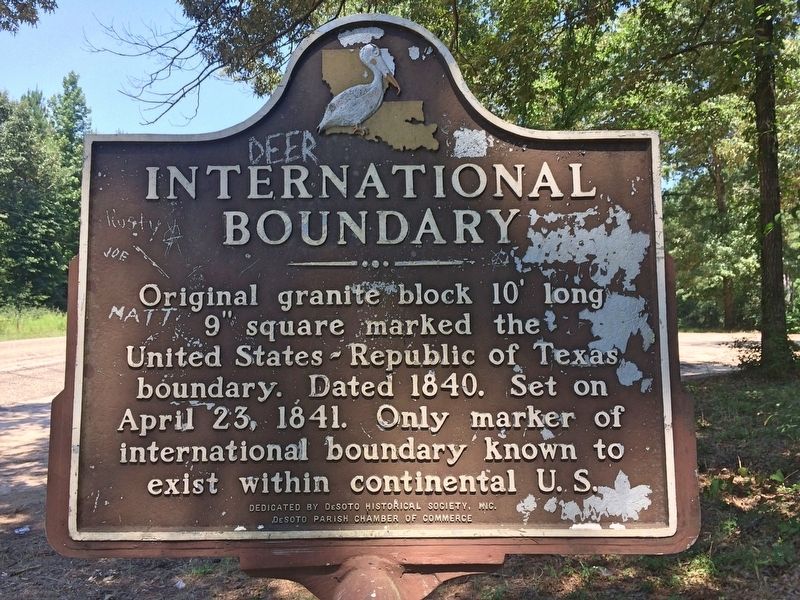
1. International Boundary Marker
Original granite block 10' long 9" square marked the United States - Republic of Texas boundary. Dated 1840. Set on April 23, 1841. Only marker of international boundary known to exist within continental U.S.
Erected by Desoto Historical Society, Inc., Desoto Parish Chamber of Commerce.
Topics. This historical marker is listed in this topic list: Notable Places. A significant historical date for this entry is April 23, 1841.
Location. Marker has been reported missing. It was located near 32° 2.015′ N, 94° 2.564′ W. Marker was near Logansport, Louisiana, in De Soto Parish. It was on Route 365 1.3 miles north of Adams Road, on the right when traveling north. Located about 5 miles north of Logansport. Touch for map. Marker was in this post office area: Logansport LA 71049, United States of America. Touch for directions.

Regionally, this marker was in North Louisiana. It was also in the American South, specifically in the Deep South, and in the Piney Woods. Globally, it was in North America, a Gulf of Mexico state, the Western Hemisphere, the Western World, and the Anglosphere. Historically, it found itself in what was
this page online
Other nearby markers. At least 8 other markers are within 10 miles of this location, measured as the crow flies: International Boundary Marker (within shouting distance of this marker in Texas); a different marker also named International Boundary Marker (within shouting distance of this marker in Texas); Adams Cemetery (approx. 3½ miles away in Texas); Brookland Cemetery (approx. 4.6 miles away in Texas); B.F. Morris and the Town of Joaquin (approx. 4.7 miles away in Texas); Sholar Cemetery (approx. 6.7 miles away in Texas); Site of Truitt Community (approx. 8.3 miles away in Texas); Deadwood Cemetery (approx. 9.7 miles away in Texas).
Also see . . . International Boundary Marker. Town of Logansport website entry (Submitted on July 9, 2017, by Mark Hilton of Montgomery, Alabama.)
Photographed by Mark Hilton, June 28, 2017
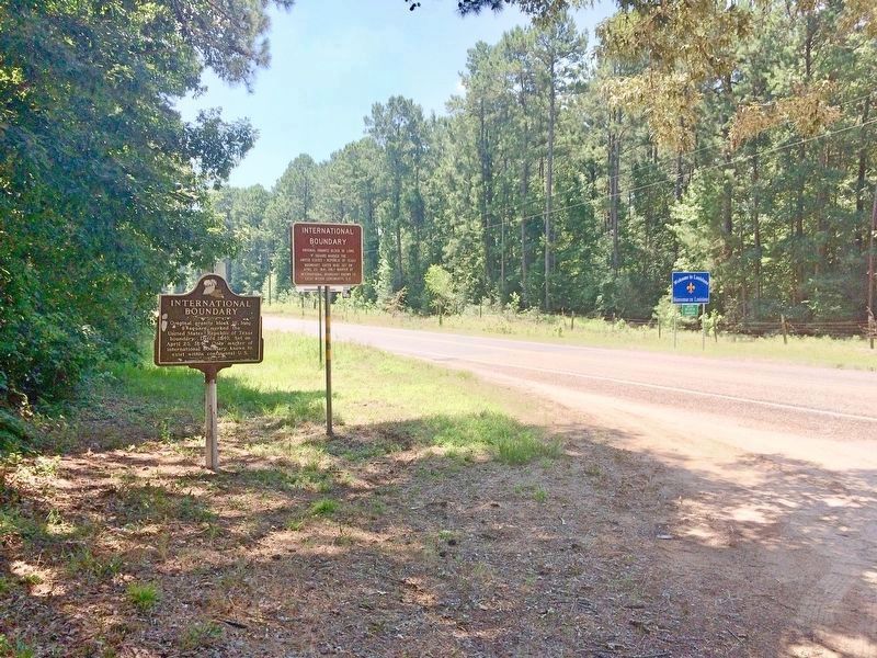
2. International Boundary Marker and Louisiana/Texas state lines.
Photographed by Mark Hilton, June 28, 2017
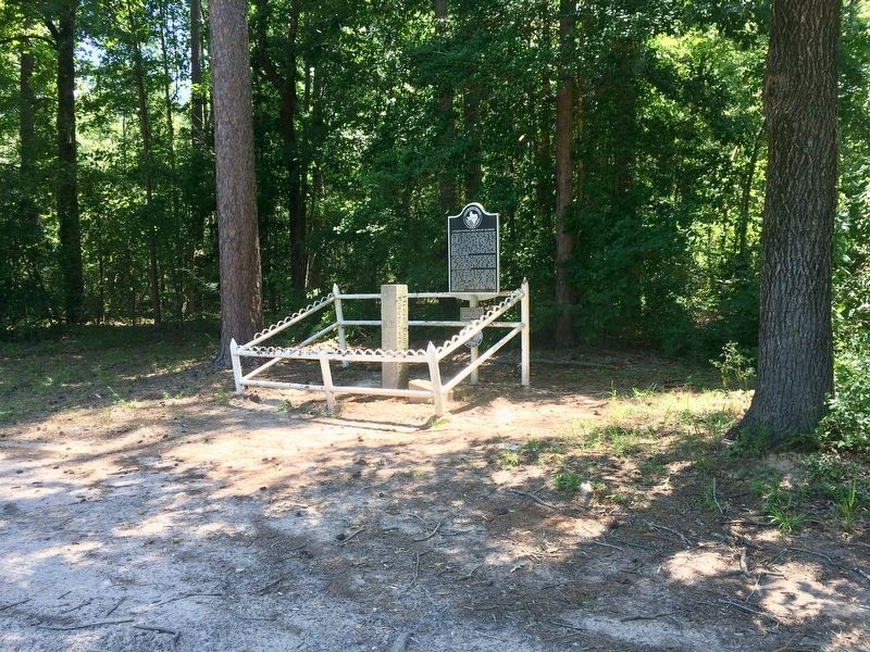
3. The International Boundary granite stone post.
Photographed by Mark Hilton, June 28, 2017
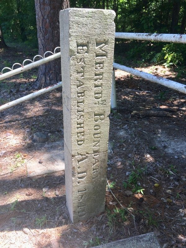
4. International Boundary stone post.
Credits. This page was last revised on January 25, 2024. It was originally submitted on July 9, 2017, by Mark Hilton of Montgomery, Alabama. This page has been viewed 1,172 times since then and 92 times this year. Last updated on April 25, 2023, by Jeff Leichsenring of Garland, Texas. Photos: 1, 2, 3, 4. submitted on July 9, 2017, by Mark Hilton of Montgomery, Alabama. • Devry Becker Jones was the editor who published this page.
