Near Mountain Pass in San Bernardino County, California — The American West (Pacific Coastal)
Modern Highways
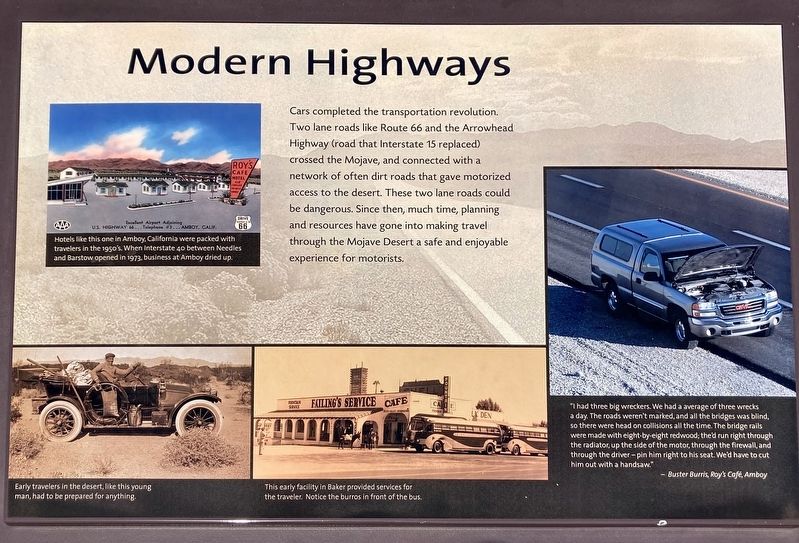
Cars completed the transportation revolution. Two lane roads like Route 66 and the Arrowhead Highway (road that Interstate 15 replaced) crossed the Mojave, and connected with a network of often dirt roads that gave motorized access to the desert. These two lane roads could be dangerous. Since then, much time, planning and resources have gone into making travel through the Mojave Desert a safe and enjoyable experience for motorists.
photo captions:
Hotels like this one in Amboy, California were packed with travelers in the 1950's. When Interstate 40 between Needles and Barstow opened in 1973, business at Amboy dried up.
"I had three big wreckers. We had an average of three wrecks a day. The roads weren't marked, and all the bridges was blind, so there were head-on collisions all the time. The bridge rails were made with eight-by-eight redwood; they'd run right through the radiator up the side of the motor, through the firewall, and through the driver - pin him right to his seat. We'd have to cut him out with a handsaw."
-Buster Burris, Roy's Café, Amboy
Topics. This historical marker is listed in these topic lists: Industry & Commerce • Roads & Vehicles.
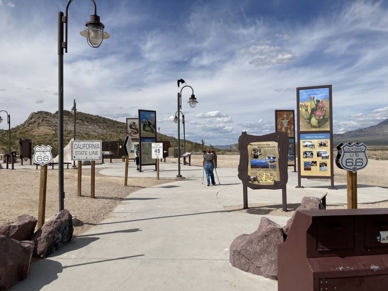
Location. 35° 26.15′ N, 115° 42.08′ W. Marker is near Mountain Pass, California, in San Bernardino County. Marker is on Interstate 15, 26 miles south of Primm, on the right when traveling south. Located at Valley Wells Rest Area on the south-bound side of Interstate 15. Touch for map. Marker is in this post office area: Nipton CA 92364, United States of America. Touch for directions.
Other nearby markers. At least 7 other markers are within walking distance of this marker. Railroads Revolutionize Transportation (here, next to this marker); Ranching and Mining (a few steps from this marker); Who Has Lived Here? (a few steps from this marker); Movement in the Desert (a few steps from this marker); Western Expansion (a few steps from this marker); Valley Wells (within shouting distance of this marker); Footprints in Time (approx. 0.2 miles away).
Credits. This page was last revised on April 25, 2023. It was originally submitted on April 25, 2023, by Craig Baker of Sylmar, California. This page has been viewed 48 times since then and 6 times this year. Photos: 1, 2, 3. submitted on April 25, 2023, by Craig Baker of Sylmar, California.


