Near Tuskahoma in Pushmataha County, Oklahoma — The American South (West South Central)
Choctaw Capitols
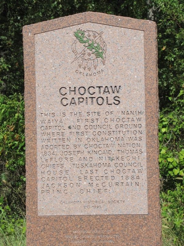
This is the site of "Nanih Waiya", first Choctaw Capitol and Council Ground where first constitution written in Oklahoma was adopted by Choctaw Nation, 1834. Joseph Kincaid, Thomas LeFlore, and Nitakechi Chiefs. Tuskahoma Council House last Choctaw capitol erected 1884. Jackson McCurtain princ. Chief.
Erected 1995 by Oklahoma Historical Society; Manufactured by Mills Granite Products Granite, Oklahoma. (Marker Number 213-1995.)
Topics and series. This historical marker is listed in these topic lists: Native Americans • Settlements & Settlers. In addition, it is included in the Oklahoma Historical Society series list. A significant historical year for this entry is 1834.
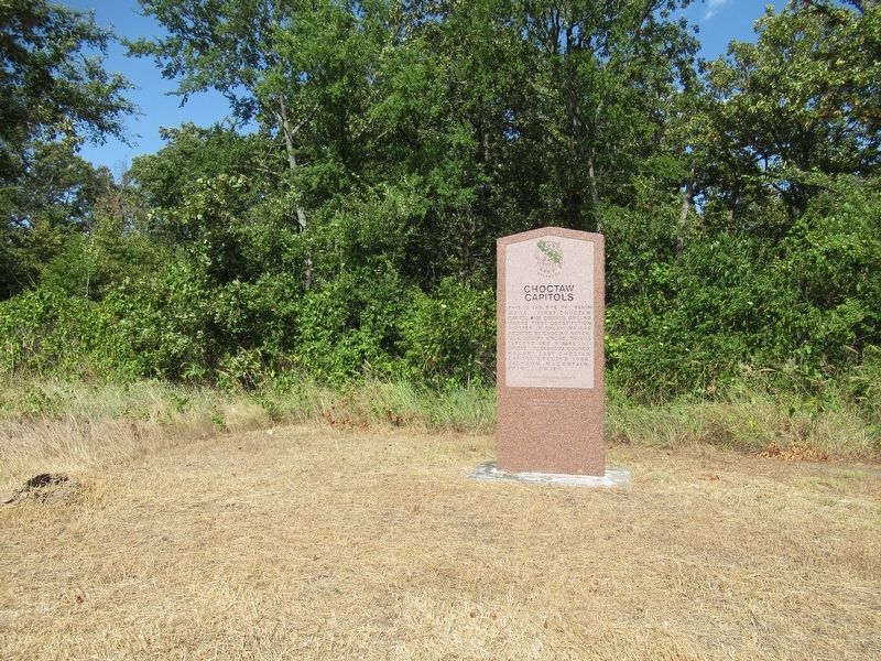
Location. 34° 38.107′ N, 95° 19.35′ W. Marker is near Tuskahoma, Oklahoma, in Pushmataha County. Marker is on Oklahoma 2, one mile north of U.S. 271, on the right when traveling north. Touch for map. Marker is in this post office area: Tuskahoma OK 74574, United States of America. Touch for directions.
Other nearby markers. At least 8 other markers are within 3 miles of this marker, measured as the crow flies. Tvshka Homma Female Institute (approx. ¾ mile away); M113A2 Armored Personnel Carrier (approx. 2.2 miles away); M29 Series 81 mm Mortar (approx. 2.2 miles away); M110A2 Self-Propelled Full Track Howitzer (approx. 2.2 miles away); M60A3 Tank (approx. 2.2 miles away); Choctaw Nation War Memorial - World War I (approx. 2½ miles away); Choctaw Code Talkers (approx. 2½ miles away); Choctaw Nation War Memorial - World War II (approx. 2½ miles away). Touch for a list and map of all markers in Tuskahoma.
Credits. This page was last revised on April 26, 2023. It was originally submitted on April 25, 2023, by Jason Armstrong of Talihina, Oklahoma. This page has been viewed 106 times since then and 38 times this year. Photos: 1, 2. submitted on April 25, 2023, by Jason Armstrong of Talihina, Oklahoma. • J. Makali Bruton was the editor who published this page.

