New Hope in Bucks County, Pennsylvania — The American Northeast (Mid-Atlantic)
28 South Main Street
Historic Place
| — | Bucks County Conservancy | — |
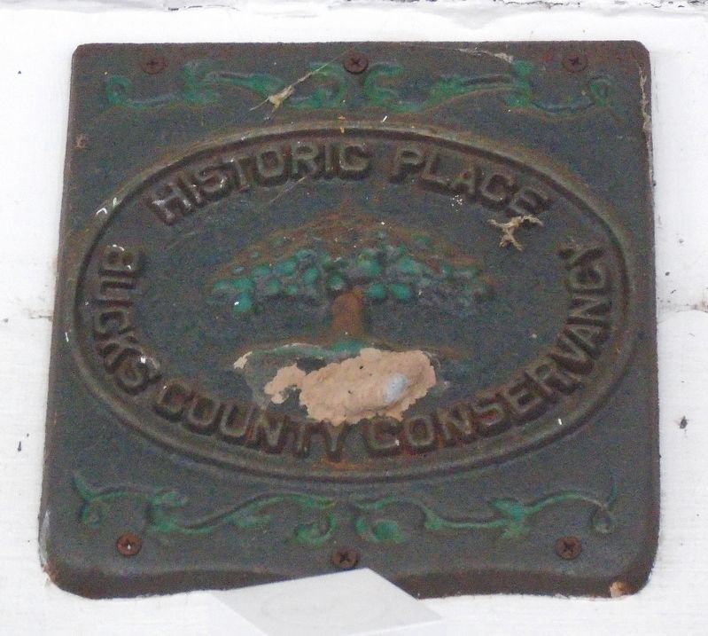
Photographed by William Fischer, Jr., April 24, 2023
1. 28 South Main Street Marker
Topics. This historical marker is listed in this topic list: Notable Buildings.
Location. 40° 21.824′ N, 74° 57.072′ W. Marker is in New Hope, Pennsylvania, in Bucks County. It is on Main Street south of Bridge Street (Pennsylvania Route 179), on the left when traveling south. Touch for map. Marker is at or near this postal address: 28 South Main Street, New Hope PA 18938, United States of America. Touch for directions.

Regionally, this marker is in Southeast Pennsylvania and in Greater Philadelphia. It is also in the American Northeast and in the Mid-Atlantic. Globally, it is in North America, the Western Hemisphere, the Western World, and the Anglosphere. Historically, it finds itself in what was once the Haudenosaunee (Iroquois) Confederacy, New Netherland, and one of the original Thirteen Colonies.
Other nearby markers. At least 8 other markers are within walking distance of this marker: 36 South Main Street (within shouting distance of this marker); 2 East Ferry Street (within shouting distance of this marker); Cannon (within shouting
this page online
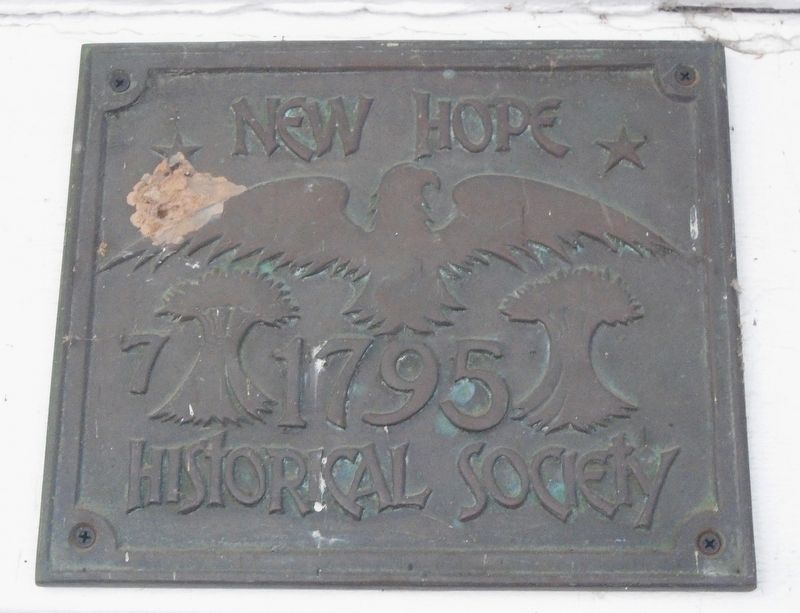
Photographed by William Fischer, Jr., April 24, 2023
2. 28 South Main Street Marker
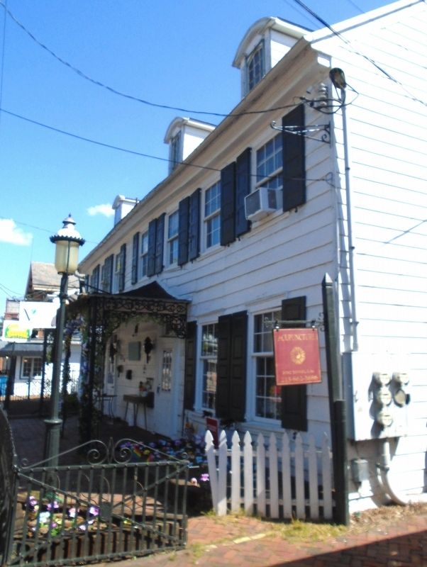
Photographed by William Fischer, Jr., April 24, 2023
3. 28 South Main Street Markers
Credits. This page was last revised on May 8, 2026. It was originally submitted on April 26, 2023, by William Fischer, Jr. of Reynoldsburg, Ohio. This page has been viewed 216 times since then and 28 times this year. Photos: 1, 2, 3. submitted on April 26, 2023, by William Fischer, Jr. of Reynoldsburg, Ohio.
