Batesville in Independence County, Arkansas — The American South (West South Central)
Governor Elisha Baxter
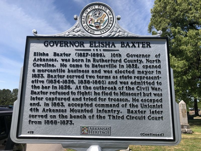
Photographed by Duane and Tracy Marsteller, April 22, 2023
1. Governor Elisha Baxter Marker, Side One
In 1872, Baxter ran against Joseph Brooks in a contentious race for Governor. Baxter was declared the winner and sworn into office on January 6, 1873. Brooks and armed supporters physically ousted Baxter from the State House on April 15, 1874, resulting in the Brooks-Baxter War. A month later, Baxter was restored to power and served until November 12, 1874 as the last Republican governor during Arkansas's Reconstruction. Baxter declined to run again and returned to Batesville where he lived on his farm and practiced law. He and his wife, Harriet
this page online
Erected by Arkansas Heritage. (Marker Number 19.)
Topics and series. This historical marker is listed in these topic lists: Government & Politics • War, US Civil. In addition, it is included in the Arkansas Heritage series list. A significant historical date for this entry is January 6, 1873.
Location. 35° 45.812′ N, 91° 38.166′ W. Marker is in Batesville, Arkansas, in Independence County. It can be reached from Sidney Street south of Virginia Drive, on the left when traveling south. Marker is in Oaklawn Cemetery. Touch for map. Marker is in this post office area: Batesville AR 72501, United States of America. Touch for directions.

Regionally, this marker is on the Ozark Plateau. It is also in the American South and specifically in the Upper South. Globally, it is in North America, the Western Hemisphere, the Western World, and the Anglosphere. Historically, it finds itself in what was once the territory of the Mississippian Culture, the Louisiana Purchase, one of the Confederate States of America, and the Antebellum South.
Other nearby markers. At
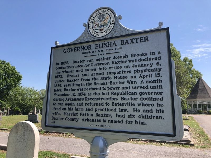
Photographed by Duane and Tracy Marsteller, April 22, 2023
2. Governor Elisha Baxter Marker, Side Two
Also see . . .
1. Elisha Baxter (1827–1899). He was teaching school at Patterson, Missouri, when Colonel Robert C. Newton captured him and carried him back to Little Rock, where he was indicted for treason and jailed with Enoch H. Vance. He and Vance escaped when Vance’s wife smuggled in the key. (Michael B. Dougan, Encyclopedia of Arkansas) (Submitted on April 26, 2023, by Duane and Tracy Marsteller of Murfreesboro, Tennessee.)
2. Brooks-Baxter War. The result of the war, recognition of Baxter as the governor, brought a practical
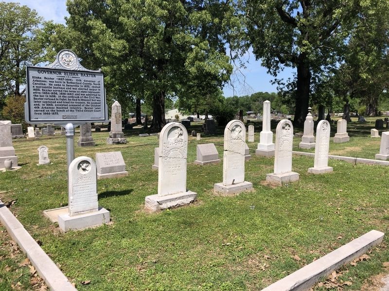
Photographed by Duane and Tracy Marsteller, April 22, 2023
3. Governor Elisha Baxter Marker
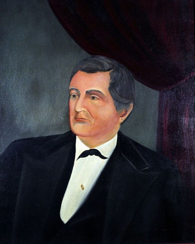
Via Arkansas Secretary of State's Office and the Old State House Museum (Public Domain)
4. Elisha Baxter (1827-1899)
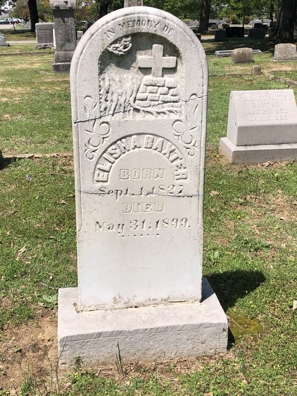
Photographed by Duane and Tracy Marsteller, April 22, 2023
5. Elisha Baxter's Gravestone
Credits. This page was last revised on April 26, 2023. It was originally submitted on April 26, 2023, by Duane and Tracy Marsteller of Murfreesboro, Tennessee. This page has been viewed 499 times since then and 65 times this year. Photos: 1, 2, 3, 4, 5. submitted on April 26, 2023, by Duane and Tracy Marsteller of Murfreesboro, Tennessee.
