Near Centerville in Leon County, Texas — The American South (West South Central)
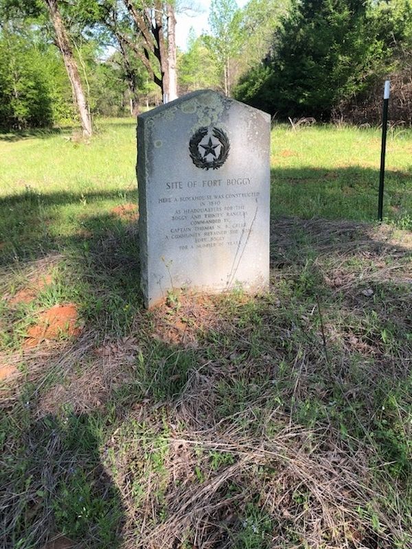
Site of Fort Boggy
Erected 1936 by Texas Historical Commission. (Marker Number 9623.)
Topics and series. This historical marker is listed in these topic lists: Forts and Castles • Settlements & Settlers. In addition, it is included in the Texas 1936 Centennial Markers and Monuments series list.
Location. 31° 11.631′ N, 95° 58.983′ W. Marker is near Centerville, Texas, in Leon County. Marker can be reached from Texas Route 75, 4 miles south of West St. Mary’s Street (Texas Route 7). North of Fort Boggy State Park visitor center. Touch for map. Marker is at or near this postal address: 4994 Highway 75 South, Centerville TX 75833, United States of America. Touch for directions.
Other nearby markers. At least 8 other markers are within 9 miles of this marker, measured as the crow flies. Fort Boggy (approx. 0.6 miles away); Leon County (approx. 1˝ miles away); Site of the First Court House Built in Leon County (approx. 2.8 miles away); First United Methodist Church of Centerville (approx. 4.3 miles away); Leon County Courthouse (approx. 4˝ miles away); Boggy Community (approx. 7.7 miles away); Kings Highway Camino Real — Old San Antonio Road (approx. 8.2 miles away); a different marker also named Kings Highway Camino Real — Old San Antonio Road (approx. 8.3 miles away). Touch for a list and map of all markers in Centerville.
More about this marker. Access to the marker is closed. The marker is in the park maintenance area; inaccessible to the public. The marker is located in a section of the park where the El Camino Real passes through. Due to this, the Texas Parks and Wildlife Department is in the process of collecting, documenting and cataloging arifacts in the area. Once completed, the area will be opened up to the public.
Credits. This page was last revised on May 12, 2023. It was originally submitted on April 26, 2023, by Jeff Leichsenring of Garland, Texas. This page has been viewed 81 times since then and 29 times this year. Photo 1. submitted on April 26, 2023, by Jeff Leichsenring of Garland, Texas. • James Hulse was the editor who published this page.
Editor’s want-list for this marker. When the marker is publicly available, close up photos • Can you help?
