Near Vermillion in Clay County, South Dakota — The American Midwest (Upper Plains)
Hub City
April 15, 2023
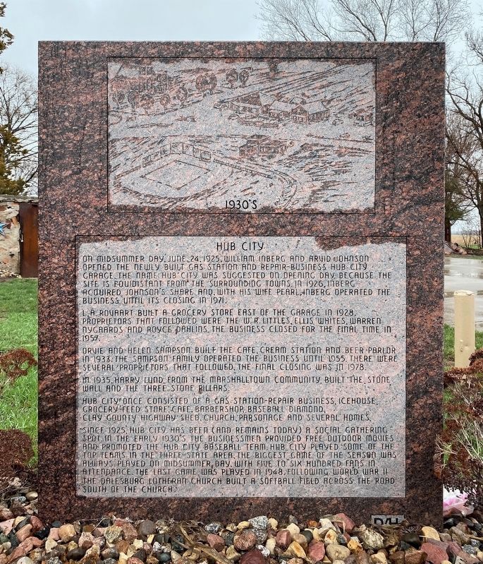
1. Hub City Marker
Top image: "1930's"
On Midsummer Day, June 24, 1925, William Inberg and Arvid Johnson opened the newly built gas station and repair-business Hub City Garage. The name Hub City was suggested on opening day because the site is equidistant from the surrounding towns. In 1926, Inberg acquired Johnson's share and, with his wife Pearl, Inberg operated the business until its closing in 1971.
L. A. Rovaart built a grocery store east of the garage in 1928. Proprietors that followed were the W. R. Littles, Ellis Whites, Warren Nygaards and Royce Dahlins. The business closed for the final time in 1957.
Orvie and Helen Sampson built the cafe, cream station and beer parlor in 1933. The Sampson family operated the business until 1955. There were several proprietors that followed, the final closing was in 1978.
In 1935, Harry Lund, from the Marshalltown community, built the stone wall and the three stone pillars.
Hub City once consisted of a gas station-repair business, icehouse, grocery-feed store, cafe, barbershop, baseball diamond, Clay County highway shed, church, parsonage and several homes.
Since 1925, Hub City has been (and remains
this page online
Erected 1995 by Dalesburg–Hub City Historical Society.
Topics. This historical marker is listed in this topic list: Settlements & Settlers. A significant historical date for this entry is June 24, 1925.
Location. 42° 57.218′ N, 96° 54.249′ W. Marker is near Vermillion, South Dakota, in Clay County. It is at the intersection of 306th Street and University Road, on the right when traveling west on 306th Street. Touch for map. Marker is in this post office area: Centerville SD 57014, United States of America. Touch for directions.

Regionally, this marker is in East River. It is also in the American Lewis & Clark Corridor, on the prairies, and on the Northern Plains. Globally, it is
April 15, 2023
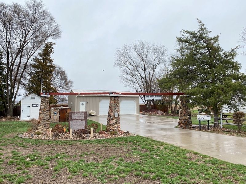
2. Hub City Marker
Other nearby markers. At least 8 other markers are within 7 miles of this marker, measured as the crow flies: Dalesburg and Hub City (a few steps from this marker); Dalesburg School / Dalesburg Village (approx. 1½ miles away); Southeast South Dakota Experiment Farm (approx. 6.2 miles away); Hill of Chalk (approx. 6.2 miles away); Canotina Paha | Mountain of Little People (approx. 6.4 miles away); Daughters of the American Revolution Spirit Mound Monument (approx. 6.4 miles away); Spirit Mound Monument (approx. 6.4 miles away); Hill of Little Spirits (approx. 6.4 miles away). Touch for a list and map of all markers in Vermillion.
April 15, 2023
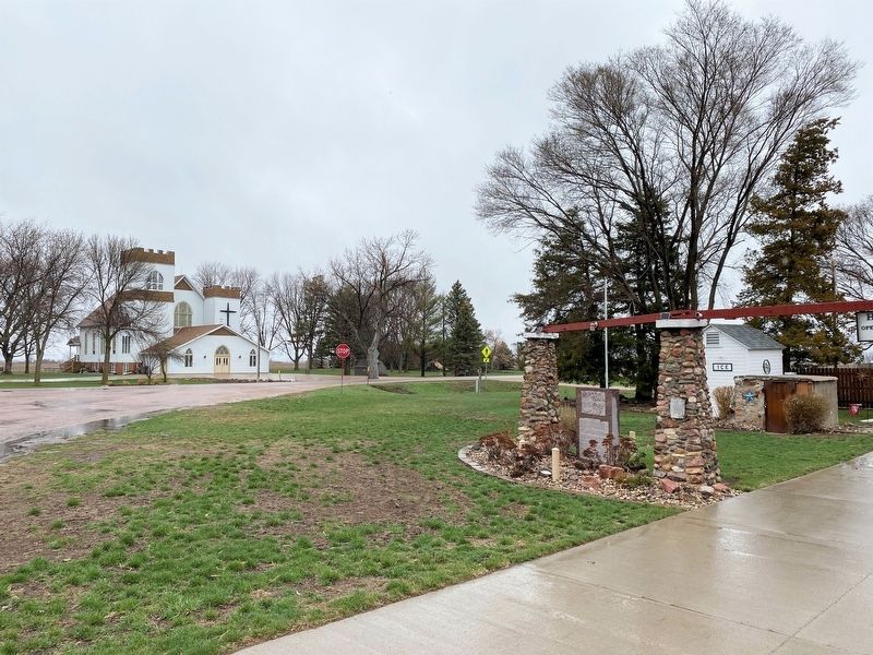
3. Hub City Marker
Credits. This page was last revised on December 26, 2024. It was originally submitted on April 26, 2023. This page has been viewed 645 times since then and 59 times this year. Photos: 1, 2, 3. submitted on April 26, 2023.
