Sandy Point State Park near Annapolis in Anne Arundel County, Maryland — The American Northeast (Mid-Atlantic)
The Fight for Freedom
Sandy Point and the Evolution of Civil Rights
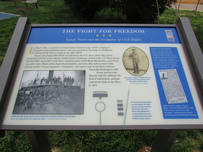
In March 1864, a regiment of United States Colored Troops (USCT) camping in Annapolis inspired William Evans, who was enslaved on this land, to self-liberate by fleeing Sandy Point to enlist in the 30th USCT.
Evans was among 800 USCTs transferred to the U.S. Navy, where they joined integrated mariner crews. Nearly 18,000 African Americans served in the U.S. Navy during the Civil War, about 20% of the force, including about 2,300 Black Marylanders, more than any other state. Black sailors faced discrimination, and were often held at lower ranks and pay grades. Evans remained a "Landsman," the lowest rank in the Navy, until his honorable discharge in 1867.
Evans and his wife, Harriet, had five children. He died of tuberculosis, perhaps contracted while in the Navy, in 1873.
< Sidebar: >
Risking all for Freedom
William Evans was not the only enslaved person to self-liberate from the Sandy Point plantation. In 1825 and 1826, two men, James Richardson and Andrew Gantt risked harsh punishment by escaping. It is unclear if Richardson and Gantt were ever captured and returned. These examples illustrate the risks that African Americans were willing to take to obtain their freedom.
Erected by Civil War Trails.
Topics. This historical marker is listed in these topic lists: African Americans • War, US Civil. A significant historical month for this entry is March 1864.
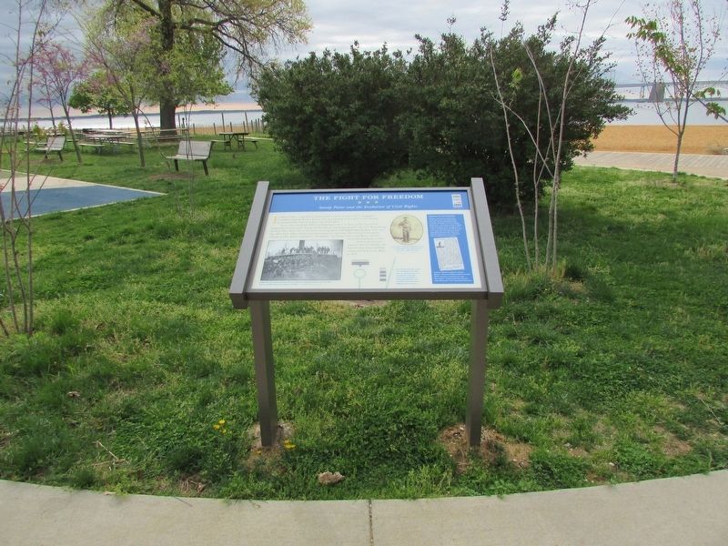
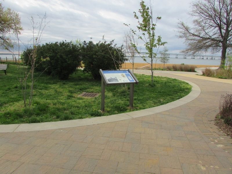
Location. 39° 0.673′ N, 76° 23.883′ W. Marker is near Annapolis, Maryland, in Anne Arundel County. It is in Sandy Point State Park. Marker is on South Beach Road. The marker is at the south end of Sandy Point State Park. Touch for map. Marker is in this post office area: Annapolis MD 21409, United States of America. Touch for directions.
Other nearby markers. At least 8 other markers are within 5 miles of this marker, measured as the crow flies. Sandy Point Shoal Lighthouse (approx. 0.2 miles away); Tense Time (approx. ¼ mile away); Sandy Point Farmhouse - Circa 1815 (approx. ¼ mile away); Annapolis Laboratory (approx. 4.1 miles away); Fort Nonsense (approx. 4.1 miles away); British Takeover (approx. 4½ miles away); Broad Creek Cemetery (approx. 4½ miles away); Gold Star Families Monument (approx. 4.6 miles away). Touch for a list and map of all markers in Annapolis.
More about this marker. A Photograph at the bottom left of the marker includes a caption of "Unlike the U.S. Army,
the U.S. Navy has been integrated before the Civil War. Here, an integrated crew relaxes on deck." - Courtesy National Archives
A photograph of a Black Sailor on the right of the marker contains a caption of "No image is known of William Evans, but he would have appeared like this sailor while on duty." Courtesy Library of Congress
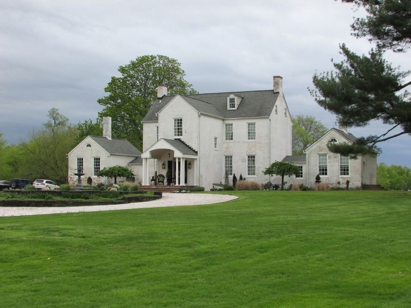
A map of the Sandy Point Plantation showing the Sandy Point Farmhouse and Enslaved Quarters has a caption of "The Sandy Point plantation was founded in the 18th century, and the mansion still stands. This map shows the plantation's enslaved quarters one of which may have been William Evans' home."
Credits. This page was last revised on September 10, 2023. It was originally submitted on April 26, 2023, by Bill Coughlin of Woodland Park, New Jersey. This page has been viewed 87 times since then and 28 times this year. Photos: 1, 2, 3, 4. submitted on April 26, 2023, by Bill Coughlin of Woodland Park, New Jersey.


