Jacksonport in Jackson County, Arkansas — The American South (West South Central)
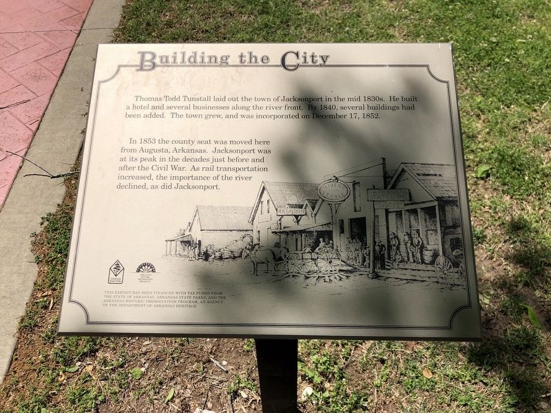
Building the City
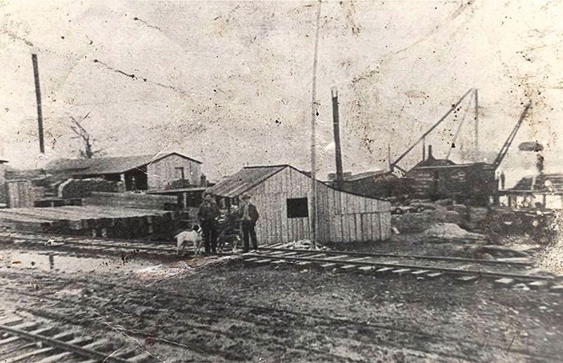
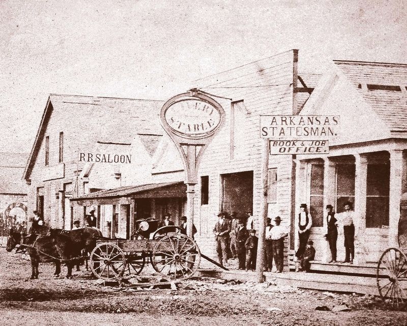
In 1853 the county seat was moved here from Augusta, Arkansas. Jacksonport was at its peak in the decades just before and after the Civil War. As rail transportation increased, the importance of the river declined, as did Jacksonport.
Erected by Arkansas State Parks • Arkansas Historic Preservation Program.
Topics. This historical marker is listed in this topic list: Settlements & Settlers. A significant historical date for this entry is December 17, 1852.
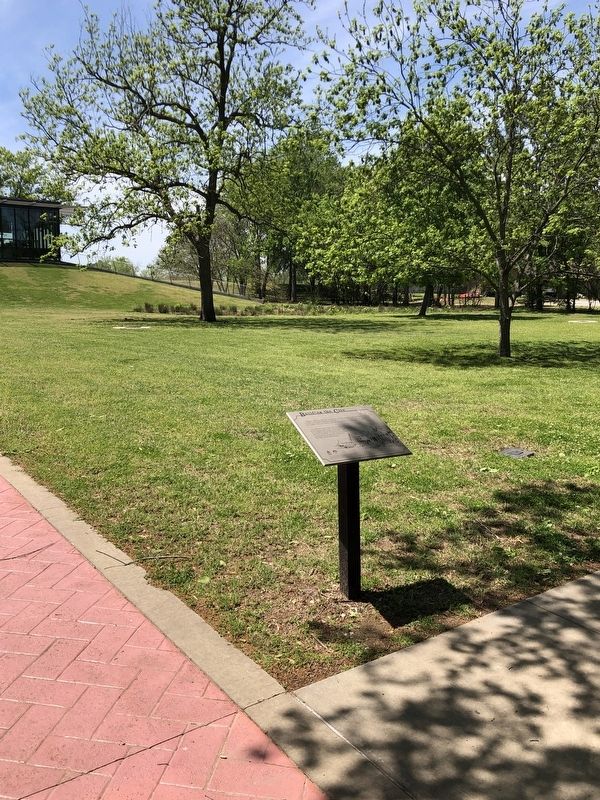
Location. 35° 38.379′ N, 91° 18.655′ W. Marker is in Jacksonport, Arkansas, in Jackson County. Marker can be reached from the intersection of Avenue Street and Adams, on the right when traveling east. Marker located in Jacksonport State Park. Touch for map. Marker is in this post office area: Newport AR 72112, United States of America. Touch for directions.
Other nearby markers. At least 8 other markers are within walking distance of this marker. Jacksonport in the Civil War (a few steps from this marker); Jackson Guards Monument (within shouting distance of this marker); Jacksonport Civil War Cannon (within shouting distance of this marker); Welcome to Jacksonport State Park (within shouting distance of this marker); Surrender at Jacksonport (within shouting distance of this marker); The Courthouse (about 300 feet away, measured in a direct line); Jackson County Courthouse (about 400 feet away); The Port of Jacksonport (about 500 feet away). Touch for a list and map of all markers in Jacksonport.
Also see . . . Jacksonport (Jackson County). Its location at the convergence of two navigable waterways enabled Jacksonport to thrive in a time when river transport was the most reliable method of transportation in Arkansas. (Adam Miller, Encyclopedia of Arkansas) (Submitted on April 27, 2023, by Duane and Tracy Marsteller of Murfreesboro, Tennessee.)
Credits. This page was last revised on April 27, 2023. It was originally submitted on April 27, 2023, by Duane and Tracy Marsteller of Murfreesboro, Tennessee. This page has been viewed 72 times since then and 8 times this year. Photos: 1, 2, 3, 4. submitted on April 27, 2023, by Duane and Tracy Marsteller of Murfreesboro, Tennessee.


