Etowah in Mississippi County, Arkansas — The American South (West South Central)
Garden Point United Methodist Church
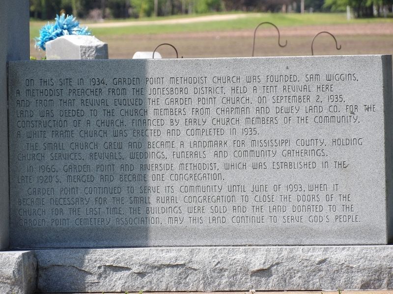
Photographed by Duane and Tracy Marsteller, April 22, 2023
1. Garden Point United Methodist Church Marker
The small church grew and became a landmark for Mississippi county, holding church services, revivals, weddings, funerals and community gatherings.
In 1966, Garden Point and Riverside Methodist, which was established in the late 1920's, merged and became one congregation.
Garden Point continued to serve its community until June of 1993, when it became necessary for the small rural congregation to close the doors of the church for the last time. The buildings were sold and the land donated to the Garden Point Cemetery Association. May this land continue to serve God's people.
Topics. This historical marker is listed in this topic list: Religion & Religious Structures. A significant historical date for this entry is September 2, 1935.
Location. 35° 41.987′ N,
this page online

Regionally, this marker is in the Arkansas Delta, in Crowley’s Ridge, and in the Mississippi Alluvial Plain. It is also in the American South, specifically in the Upper South, in the Mississippi Delta, and in the Great River Road Region. Globally, it is in North America, the Western Hemisphere, the Western World, and the Anglosphere. Historically, it finds itself in what was once the territory of the Mississippian Culture, the Louisiana Purchase, one of the Confederate States of America, and the Antebellum South.
Other nearby markers. At least 8 other markers are within 8 miles of this marker, measured as the crow flies: Joseph Allen Sisco (within shouting distance of this marker); Garden Point Cemetery Veterans Memorial (within shouting distance of this marker); Fighting Near Etowah
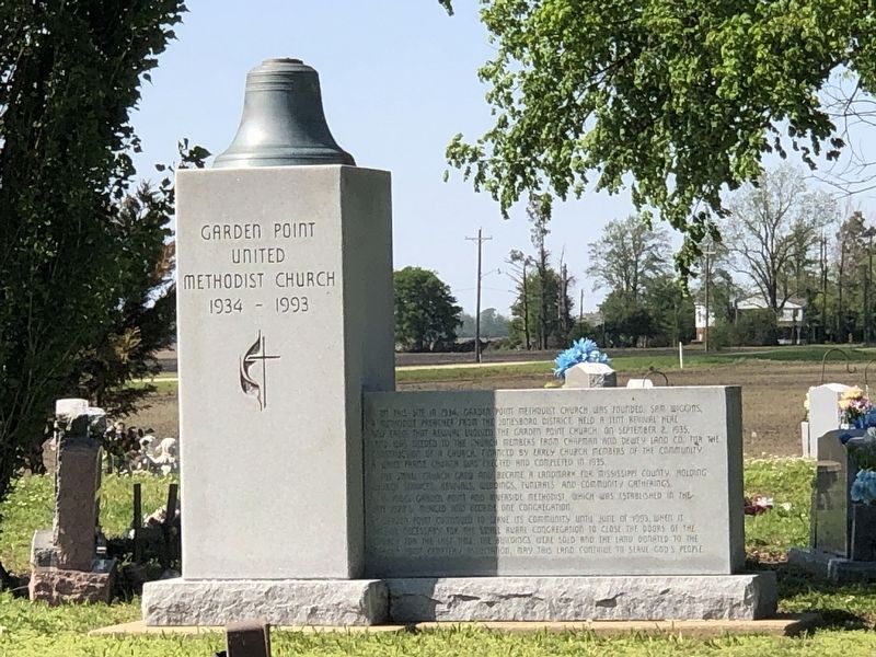
Photographed by Duane and Tracy Marsteller, April 22, 2023
2. Garden Point United Methodist Church Marker
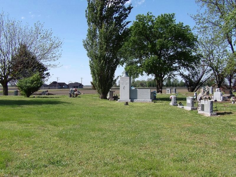
Photographed by Duane and Tracy Marsteller, April 22, 2023
3. Garden Point United Methodist Church Marker
Credits. This page was last revised on April 27, 2023. It was originally submitted on April 27, 2023, by Duane and Tracy Marsteller of Murfreesboro, Tennessee. This page has been viewed 196 times since then and 21 times this year. Photos: 1, 2, 3. submitted on April 27, 2023, by Duane and Tracy Marsteller of Murfreesboro, Tennessee.
