Frankfort in Franklin County, Kentucky — The American South (East South Central)
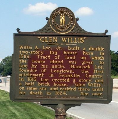
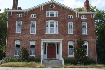
Glen Willis
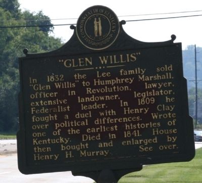
In 1832 the Lee family sold "Glen Willis" to Humphrey Marshall, officer in Revolution, lawyer, extensive landowner, legislator, Federalist leader. In 1809 he fought a duel with Henry Clay over political differences. Marshall wrote one of the earliest histories of Kentucky. Died in 1841. House then bought and enlarged by Henry H. Murray.
Erected 1972 by Kentucky Historical Society, Kentucky Department of Highways. (Marker Number 1444.)
Topics and series. This historical marker is listed in these topic lists: Settlements & Settlers • War, US Revolutionary. In addition, it is included in the Kentucky Historical Society series list. A significant historical year for this entry is 1793.
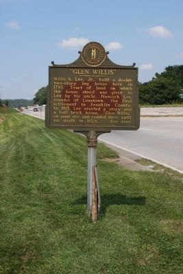
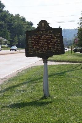
Location. 38° 12.603′ N, 84° 52.291′ W. Marker is in Frankfort, Kentucky, in Franklin County. Marker is on Wilkinson Blvd south of Frazer Road, on the right when traveling south. Touch for map. Marker is at or near this postal address: 900 Wilkinson Blvd, Frankfort KY 40601, United States of America. Touch for directions.
Other nearby markers. At least 8 other markers are within walking distance of this marker. Franklin County Hemp / Hemp in Kentucky (about 400 feet away, measured in a direct line); Great Buffalo Trace (approx. ¼ mile away); Leestown (approx. 0.3 miles away); O.F.C.–Stagg Distillery (approx. 0.3 miles away); Stony Point (approx. 0.3 miles away); Remembering The Soldiers Of The War Of 1812 On Both Sides (approx. 0.4 miles away); Beneath The Soil In Front Of You (approx. 0.4 miles away); Here Lie The Remains of 250 Citizens Of Frankfort (approx. 0.4 miles away). Touch for a list and map of all markers in Frankfort.
Credits. This page was last revised on November 20, 2019. It was originally submitted on September 3, 2009, by Al Wolf of Veedersburg, Indiana. This page has been viewed 2,041 times since then and 20 times this year. Photos: 1, 2, 3, 4, 5. submitted on September 3, 2009, by Al Wolf of Veedersburg, Indiana. • Bill Pfingsten was the editor who published this page.
