
Prescott in Nevada County, Arkansas — The American South (West South Central)
First Presbyterian Church
Prescott
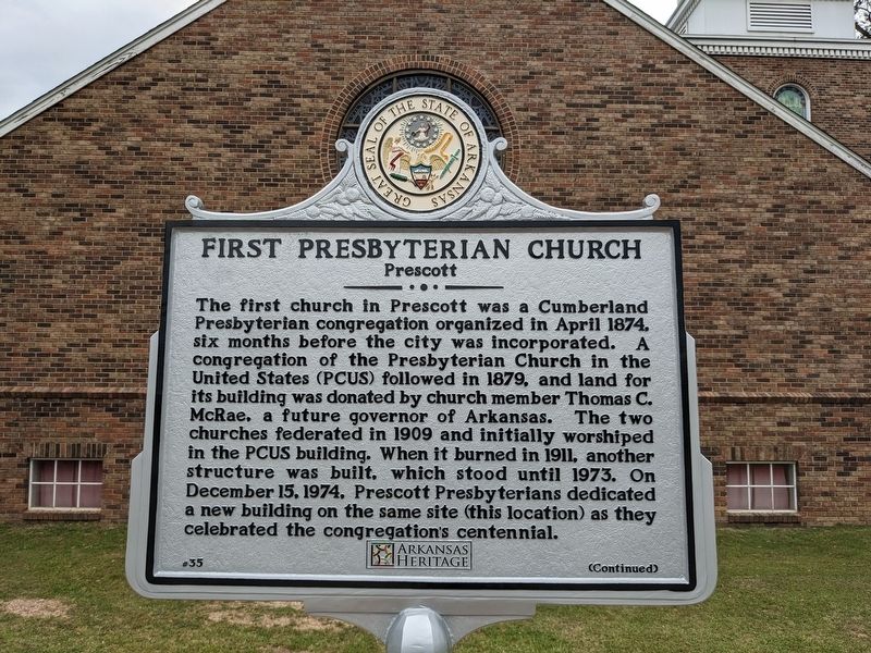
Photographed by Ashley Sides, April 25, 2023
1. First Presbyterian Church Marker
The first church in Prescott was a Cumberland Presbyterian congregation organized in April 1874, six months before the city was incorporated. A congregation of the Presbyterian Church in the United States (PCUS) followed in 1879, and land for its building was donated by church member Thomas C. McRae, a future governor of Arkansas. The two churches federated in 1909 and initially worshiped in the PCUS building. When it burned in 1911, another structure was built, which stood until 1973. On December 15, 1974, Prescott Presbyterians dedicated a new building on the same site (this location) as they celebrated the congregation's centennial.
During the summer of 1941, when 110,000 U.S. Army troops camped in and around Prescott on training maneuvers, the First Presbyterian Church threw open its doors to these service members. In the later 20th century, as Prescott’s population declined, church membership dwindled. Upon the congregation’s request, the Presbytery of the Pines closed the church on May 18, 2013. The building was sold to the City of Prescott for one dollar, so that it might continue to serve her citizens over the
this page online
Erected 2023 by Nevada County Depot and Museum. (Marker Number 35.)
Topics and series. This historical marker is listed in this topic list: Religion & Religious Structures. In addition, it is included in the Arkansas Heritage series list. A significant historical year for this entry is 1941.
Location. 33° 48.017′ N, 93° 22.783′ W. Marker is in Prescott, Arkansas, in Nevada County. It is on East Elm Street. The marker is in front of the former First Presbyterian Church, facing Elm Street, across from the courthouse. Touch for map. Marker is at or near this postal address: 223 E Elm St, Prescott AR 71857, United States of America. Touch for directions.

Regionally, this marker is in Arkansas’ Gulf Coastal Plain. It is also in the American South, specifically in the Upper South, and in the Piney Woods. Globally, it is in North America, the Western Hemisphere, the Western World, and the Anglosphere. Historically, it finds itself in what was once the territory of the Mississippian Culture, the Louisiana Purchase, one of the Confederate States of America, and the Antebellum South.
Other nearby markers. At
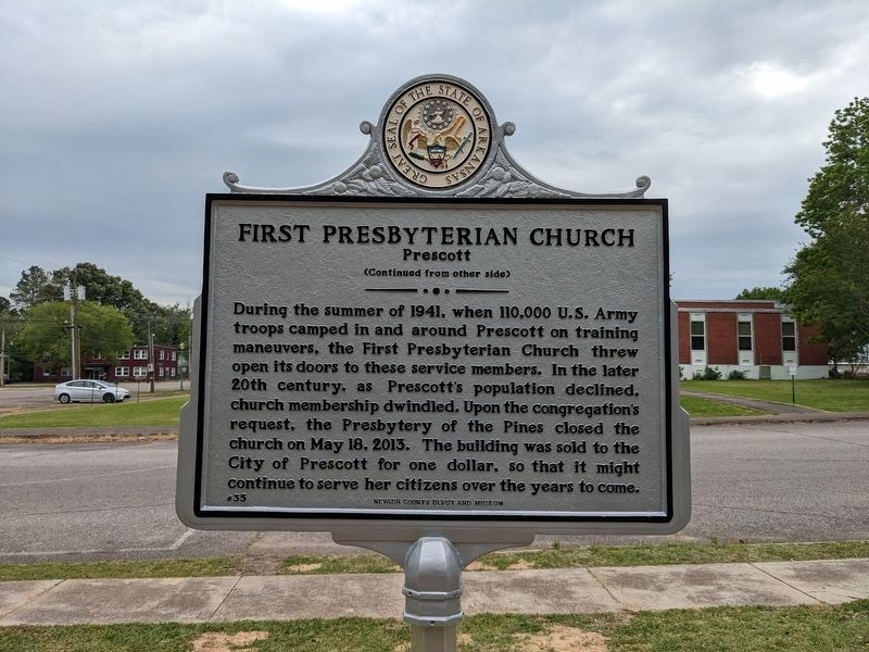
Photographed by Ashley Sides, April 25, 2023
2. First Presbyterian Church Marker Reverse
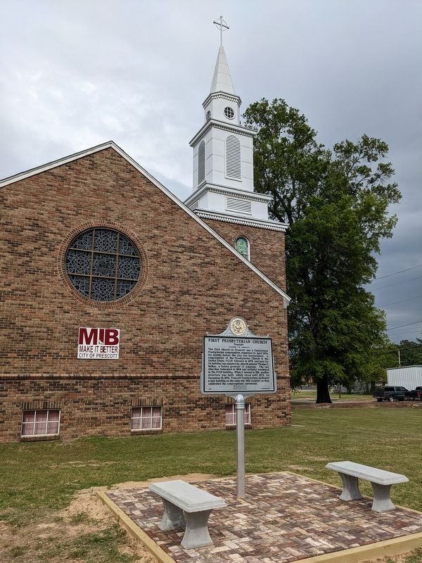
Photographed by Ashley Sides, April 25, 2023
3. First Presbyterian Church Marker
Credits. This page was last revised on September 8, 2025. It was originally submitted on April 27, 2023, by Ashley Sides of Little Rock, Arkansas. This page has been viewed 330 times since then and 47 times this year. Photos: 1, 2, 3. submitted on April 27, 2023, by Ashley Sides of Little Rock, Arkansas. • J. Makali Bruton was the editor who published this page.
