Salem in Essex County, Massachusetts — The American Northeast (New England)
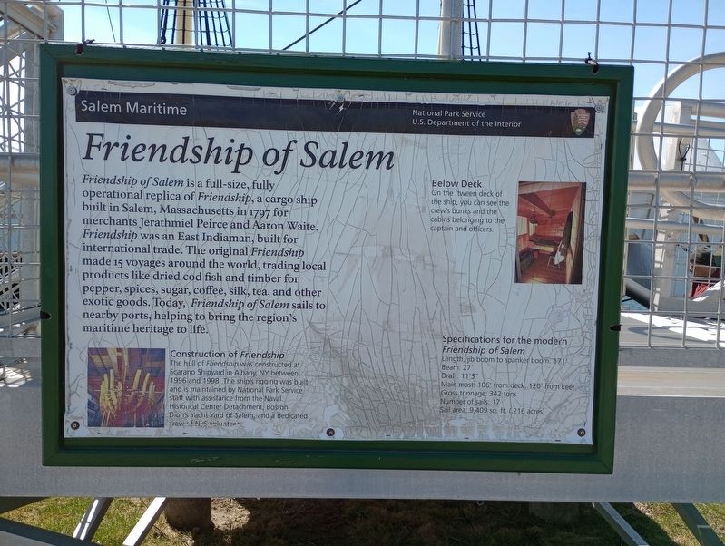
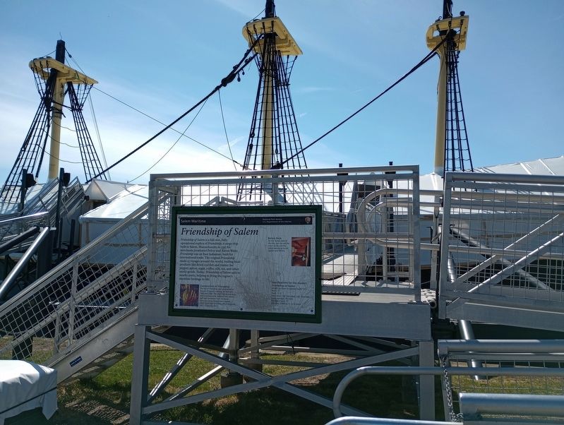
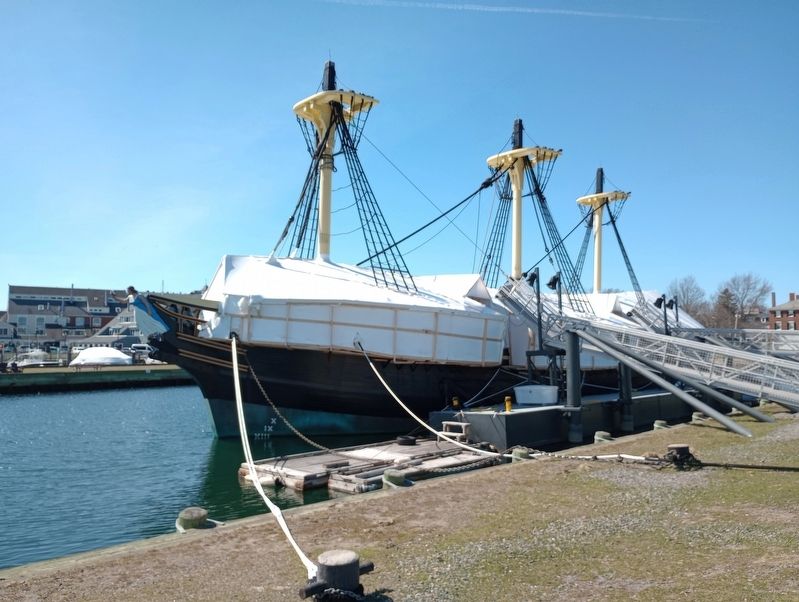
Friendship of Salem
Construction of Friendship
The hull of Friendship was constructed at Scarano Shipyard in Albany, NY between 1996 and 1998. The ship's rigging was built and is maintained by National Park Service staff with assistance from the Naval, Historical Center Detachment, Boston, Don's Yacht Yard of Salem; and a dedicated crew of NPS volunteers.
Below Deck
On the 'tween deck of the ship, you can see the crew's bunks and the cabins belonging to the captain and officers.
Specifications for the modern Friendship of Salem
Length, jib boom to spanker boom: 171'
Beam: 27'
Draft: 11'3"
Main mast: 106' from deck, 120' from keel
Gross tonnage: 342 tons
Number of sails: 17
Sail area: 9,409 sq. ft. (.216 acres)
Erected by National Park Service U.S. Department of the Interior.
Topics. This historical marker is listed in this topic list: Waterways & Vessels. A significant historical year for this entry is 1797.
Location. 42° 31.214′ N, 70° 53.183′ W. Marker is in Salem, Massachusetts, in Essex County. Marker can be reached from Derby Street east of Orange Street, on the right when traveling north. Located on Derby Wharf. Touch for map. Marker is in this post office area: Salem MA 01970, United States of America. Touch for directions.
Other nearby markers. At least 8 other markers are within walking distance of this marker. A different marker also named Friendship of Salem (a few steps from this marker); Pedrick Store House, 1770 (within shouting distance of this marker); Wharves in the Early 1800s (within shouting distance of this marker); Derby Wharf (about 400 feet away, measured in a direct line); Wharves in the late 1800's (about 400 feet away); The Custom House (about 400 feet away); Central Wharf (about 500 feet away); Salem Maritime National Historic Site (about 500 feet away). Touch for a list and map of all markers in Salem.
Also see . . . Friendship of Salem – National Park Service. (Submitted on May 2, 2023, by Michael Herrick of Southbury, Connecticut.)
Credits. This page was last revised on May 2, 2023. It was originally submitted on April 27, 2023, by Craig Doda of Napoleon, Ohio. This page has been viewed 57 times since then and 12 times this year. Photos: 1, 2, 3. submitted on April 27, 2023, by Craig Doda of Napoleon, Ohio. • Michael Herrick was the editor who published this page.


