Jonas and Anne Catherine Green Park near Annapolis in Anne Arundel County, Maryland — The American Northeast (Mid-Atlantic)
Providence - 1649
The Foundation for a Capital City
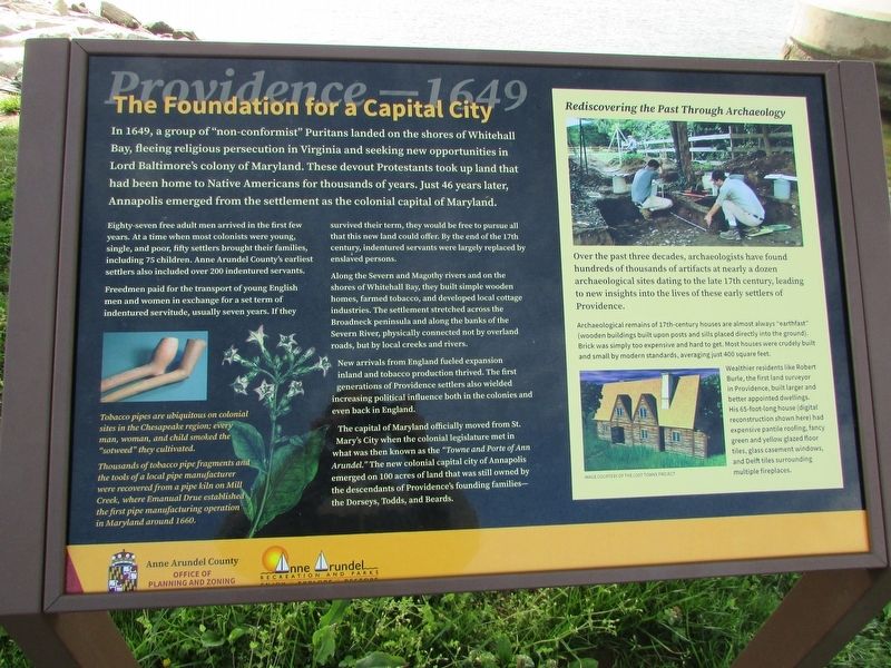
In 1649, a group of "non-conformist" Puritans landed on the shores of Whitehall Bay, fleeing religious persecution in Virginia and seeking new opportunities in Lord Baltimore's colony of Maryland. These devout Protestants took up land that had been home to Native Americans for thousands of years. Just 46 years later, Annapolis emerged from the settlement as the colonial capital of Maryland.
Eighty-seven free adult men arrived in the first few years. At a time when most colonists were young, single, and poor, fifty settlers brought their families, including 75 children. Anne Arundel County's earliest settlers also included over 200 indentured servants.
Freedmen paid for the transport of young English men and women in exchange for a set term of indentured servitude, usually seven years. If they survived their term, they would be free to pursue all that this new land could offer. By the end of the 17th century, indentured servants were largely replaced by enslaved persons.
Along the Severn and Magothy rivers and on the shores of Whitehall Bay, they built simple wooden homes, farmed tobacco, and developed local cottage industries. The settlement stretched across the Broadneck peninsula and along the banks of the Severn River, physically connected not by overland roads, but by local creeks and rivers.
New arrivals from England fueled expansion inland and tobacco production thrived. The first generations of Providence settlers also wielded increasing political influence both in the colonies and even back in England.
The capital of Maryland officially moved from St. Mary's City when the colonial legislature met in what was then known as the "Towne and Porte of Ann Arundel." The new colonial capital city of Annapolis emerged on 100 acres of land that was still owned by the descendants of Providence's founding families - the Dorseys, Todds, and Beards.
Rediscovering the Past Through Archaeology
Over the past three decades, archaeologists have found hundreds of thousands of artifacts at nearly a dozen archaeological sites dating to the late 17th century, leading to new insights into the lives of these early settlers of Providence.
Archaeological remains of 17th-century houses are almost always "earthfast" (wooden buildings built upon posts and sills placed directly into the ground). Brick was simply too expensive and hard to get. Most houses were crudely built and small by modern standards, averaging just 400 square feet.
Wealthier residents like Robert Burle, the first land surveyor in Providence, built larger and better appointed dwellings. His 65-foot-long house (digital reconstruction shown here) had expensive pantile roofing, fancy green and yellow glazed floor tiles, glass casement windows, and Delft tiles surrounding multiple fireplaces.
Image of Robert Burle's long house courtesy of the Last Towns Project.
Erected by Anne Arundel County Recreation and Parks. (Marker Number 7.)
Topics. This historical marker is listed in these topic lists: Colonial Era • Settlements & Settlers. A significant historical year for this entry is 1649.
Location. 38° 59.694′ N, 76° 29.064′ W. Marker is near Annapolis, Maryland, in Anne Arundel County. It is in Jonas and Anne Catherine Green Park. Marker is on Jonas Green Park Road, on the left when traveling south. Touch for map. Marker is at or near this postal address: 1997 Ritchie Hwy, Annapolis MD 21409, United States of America. Touch for directions.
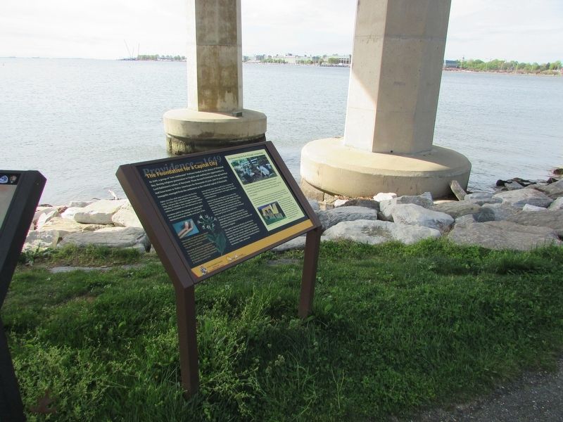
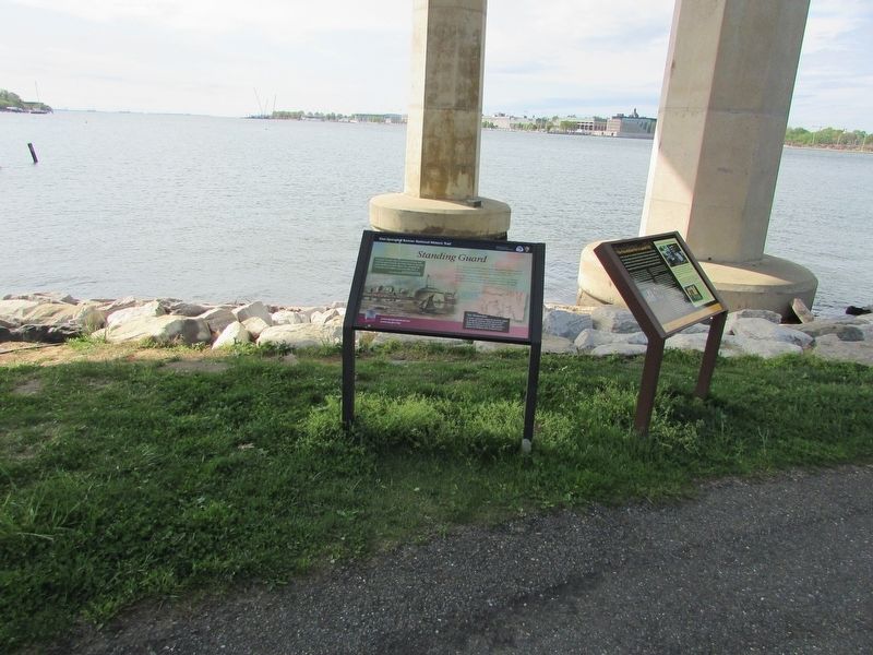
Other nearby markers. At least 8 other markers are within walking distance of this marker. Standing Guard (here, next to this marker); Jonas and Anne Catherine Green Park (within shouting distance of this marker); Oyster Reef (about 300 feet away, measured in a direct line); Maryland World War II Memorial (approx. ¼ mile away); Pearl Harbor Survivors Association (approx. ¼ mile away); Prisoner of War Memorial (approx. ¼ mile away); Albert Cabell Ritchie (approx. 0.3 miles away); Battle of the Severn (approx. 0.3 miles away). Touch for a list and map of all markers in Annapolis.
More about this marker. On the lower left of the marker are pictures of clay pipes and "sotweed", and contains a caption of "Tobacco pipes are ubiquitous on colonial sites in the Chesapeake region; every man, woman, and child smoked "sotweed" they cultivated. Thousands of tobacco pipe fragments and the tools of a local pipe manufacturer were recovered from a pipe kiln on Mill Creek, where Emanual Drue established the first pipe manufacturing operation in Maryland in 1660."
Credits. This page was last revised on March 27, 2024. It was originally submitted on April 27, 2023, by Bill Coughlin of Woodland Park, New Jersey. This page has been viewed 79 times since then and 19 times this year. Photos: 1, 2, 3. submitted on April 27, 2023, by Bill Coughlin of Woodland Park, New Jersey.


