Aldershot in Burlington in Halton Region, Ontario — Central Canada (North America)
La Salle at the Head of the Lake / La Salle à L’amont du Lac
Inscription.
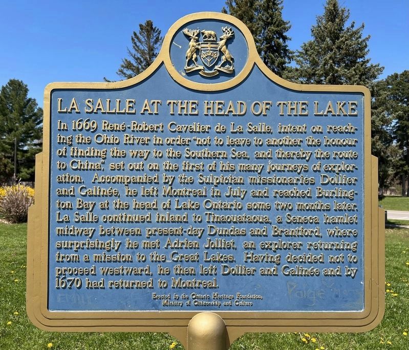
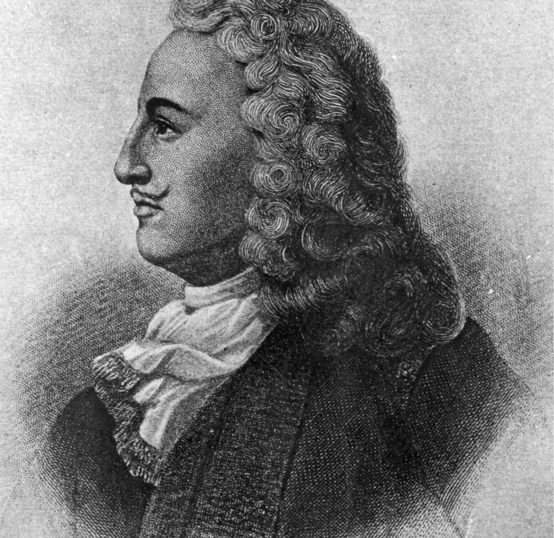
In 1669 René-Robert Cavelier de La Salle, intent on reaching the Ohio River in order "not to leave to another the honour of finding the way to the Southern Sea, and thereby the route to China”, set out on the first of his many journeys of exploration. Accompanied by the Sulpician missionaries Dollier and Galinée, he left Montreal in July and reached Burlington Bay at the head of Lake Ontario some two months later. La Salle continued inland to Tinaquataoua, a Seneca hamlet midway between present-day Dundas and Brantford, where surprisingly he met Adrien Jolliet, an explorer returning from a mission to the Great Lakes. Having decided not to proceed westward, he then left Dollier and Galinée and by 1670 had returned to Montreal.
Erected to the Ontario Heritage Foundation,
Ministry of Citizenship and Culture
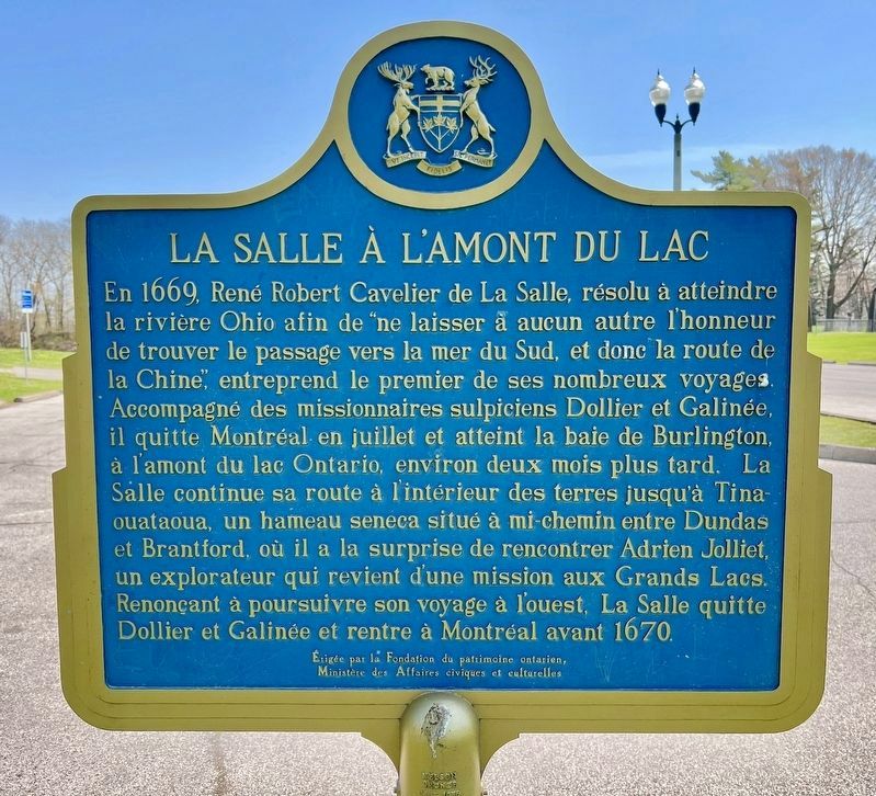
En 1669, René Robert Cavelier de La Salle, résolu à atteindre la rivière Ohio afin de "ne laisser à aucun autre l'honneur de trouver le passage vers la mer du Sud, et donc la route de la Chine”, entreprend le premier de ses nombreux voyages. Accompagné des missionnaires sulpiciens Dollier et Galinée, il quitte Montréal en juillet et atteint la baie de Burlington, à l'amont du lac Ontario, environ deux mois plus tard. La Salle continue sa route à l'intérieur des terres jusqu'à Tinaouataoua, un hameau seneca situé à mi-chemin entre Dundas et Brantford, où il a la surprise de rencontrer Adrien Jolliet, un explorateur qui revient d'une mission aux Grands Lacs. Renonçant à poursuivre son voyage à l'ouest, La Salle quitte Dollier et Galinée et rentre à Montréal avant 1670.
Érigée par la Fondation du patrimoine ontarien,
Ministère des Affaires civiques et culturelles
Erected by Ontario Heritage Foundation.
Topics and series. This historical marker is listed in these topic lists: Exploration • Native Americans. In addition, it is included in the Canada, Ontario Heritage Foundation series list. A significant historical year for this entry is 1669.
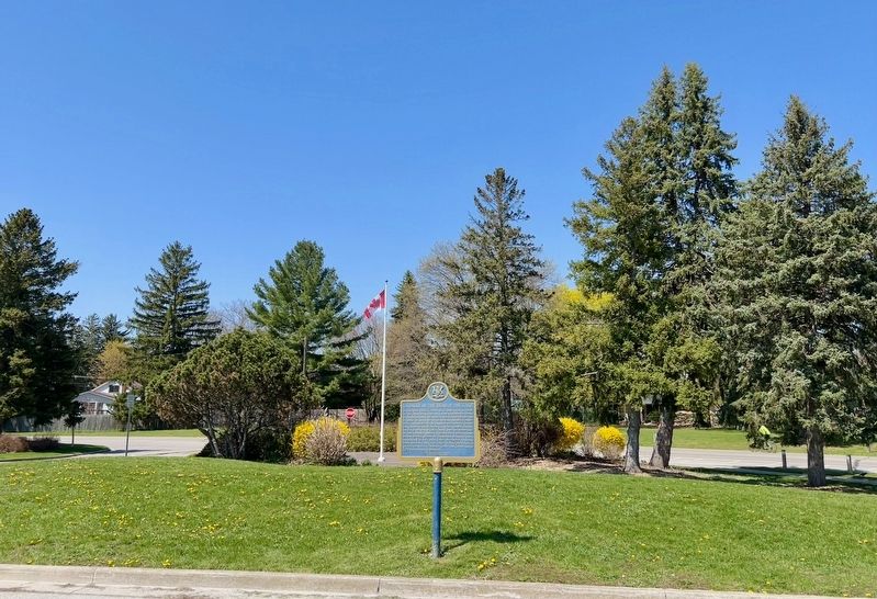
Location. 43° 18.232′ N, 79° 50.792′ W. Marker is in Burlington, Ontario, in Halton Region. It is in Aldershot. Marker can be reached from the intersection of North Shore Boulevard and Las Salle Park Boulevard. Marker is at the north end of the La Salle Park parking lot. Touch for map. Touch for directions.
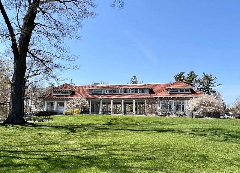
Other nearby markers. At least 8 other markers are within 5 kilometers of this marker, measured as the crow flies. La Salle Park Pavilion (about 210 meters away, measured in a direct line); Aldershot Corners
(approx. 0.6 kilometers away); Sentinel of the Around the Bay Race (approx. 2.4 kilometers away); Royal Botanical Gardens/ Les Jardins Botaniques Royaux (approx. 2.8 kilometers away); HMCS Haida - NCSM Haida (approx. 3.3 kilometers away); The Cultural History Of Carroll's Bay (approx. 3.6 kilometers away); The Royal Hamilton Yacht Club (approx. 3.6 kilometers away); Ice-Fishing in Hamilton Harbour (approx. 3.7 kilometers away). Touch for a list and map of all markers in Burlington.
Also see . . . The Canadian Museum of History: The Explorers- René-Robert Cavelier de La Salle 1670-1687. René-Robert Cavelier, Sieur de La Salle was born at Rouen, in Normandy, on the twenty-first of November, 1643. He belonged to a wealthy middle-class family. At the age of fifteen, he was enrolled in the Jesuit noviciate of Rouen, and he took his vows in 1660. Five years later he asked to be sent abroad as a missionary. However, he lost his vocation and invoked “moral weaknesses” as his reason for asking to be released from his vows. On the twenty-seventh of March, 1667, he found himself
a free man. This was the background to the start of a career which would eventually lead him to discover the mouth of the great Mississippi, “Father of Waters”. (Submitted on April 27, 2023, by Tim Boyd of Hamilton, Ontario.)
Credits. This page was last revised on August 7, 2023. It was originally submitted on April 27, 2023, by Tim Boyd of Hamilton, Ontario. This page has been viewed 58 times since then and 15 times this year. Photos: 1, 2, 3, 4, 5. submitted on April 27, 2023, by Tim Boyd of Hamilton, Ontario. • Andrew Ruppenstein was the editor who published this page.
