West Memphis in Crittenden County, Arkansas — The American South (West South Central)
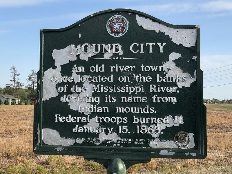
Mound City
Erected 1976 by West Memphis-Crittenden County Bicentennial • Esperanza Trails, Inc.
Topics. This historical marker is listed in these topic lists: Settlements & Settlers • War, US Civil. A significant historical date for this entry is January 15, 1863.
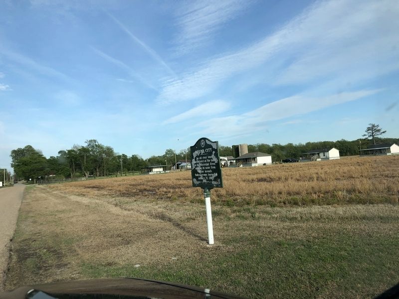
Location. 35° 11.394′ N, 90° 7.862′ W. Marker is in West Memphis, Arkansas, in Crittenden County. Marker is at the intersection of Dacus Road and Wheeler Road, on the left when traveling west on Dacus Road. Touch for map. Marker is in this post office area: Marion AR 72364, United States of America. Touch for directions.
Other nearby markers. At least 8 other markers are within 4 miles of this marker, measured as the crow flies. Indian Mounds (approx. 0.2 miles away); The Plantation Inn (approx. 3 miles away); The Sinking of the Sultana (approx. 3.8 miles away); Hernando De Soto's expeditionary force entering Arkansas (approx. 4 miles away); The Trail of Tears...A Sad Chapter in American History (approx. 4 miles away); Marion Hotel (approx. 4 miles away); Father Jacques Marquette and Louis Joliet's French expedition arrived in Arkansas (approx. 4 miles away); Crittenden Bank & Trust Company (approx. 4 miles away). Touch for a list and map of all markers in West Memphis.
Also see . . . Mound City, Arkansas. It now is an unincorporated community near oxbow lakes that once were the main course of the Mississippi River, which has since shifted about 3 miles eastward. (Wikiwand) (Submitted on April 27, 2023, by Duane and Tracy Marsteller of Murfreesboro, Tennessee.)
Credits. This page was last revised on April 27, 2023. It was originally submitted on April 27, 2023, by Duane and Tracy Marsteller of Murfreesboro, Tennessee. This page has been viewed 132 times since then and 42 times this year. Photos: 1, 2. submitted on April 27, 2023, by Duane and Tracy Marsteller of Murfreesboro, Tennessee.

