East Nashville in Davidson County, Tennessee — The American South (East South Central)
Shelby Bottoms
Bridging the Gap
Photographed by Darren Jefferson Clay, April 28, 2023
1. Shelby Bottoms Marker
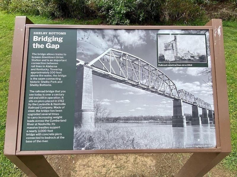
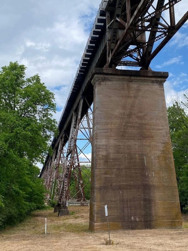
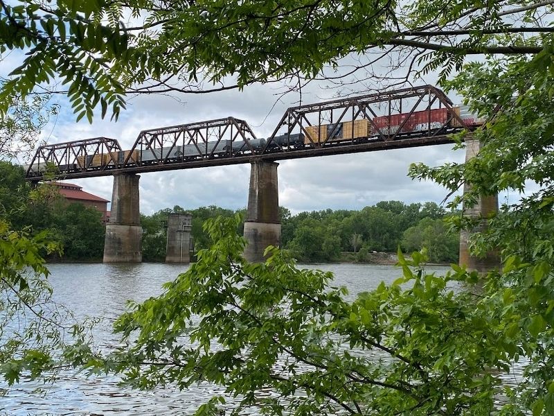
The railroad bridge that you see today is over a century old and still in operation. It sits on piers placed in 1912 by the Louisville & Nashville Railroad Company. Made of steel, the bridge has been upgraded several times to carry increasing weight loads across the Cumberland River at Nashville. Its massive trestles support a nearly 3,000-foot bridge with concrete piers connected to bedrock at the base of the river.
Photo Caption:
Railroad construction circa 1912
Photos: Creighton Collection
Topics. This historical marker is listed in this topic list: Railroads & Streetcars.
Location. 36° 9.946′ N, 86° 43.519′ W. Marker is in Nashville, Tennessee, in Davidson County. It is in East Nashville. It is on Shelby Bottoms Greenway. The marker is located in the Shelby Bottom Nature Center and Greenway grounds. Touch for map.
this page online

Regionally, this marker is in Middle Tennessee. It is also in the American South and specifically in the Upper South. Globally, it is in North America, the Western Hemisphere, the Western World, and the Anglosphere. Historically, it finds itself in what was once the territory of the Mississippian Culture, one of the Confederate States of America, and the Antebellum South.
Other nearby markers. At least 8 other markers are within one mile of this marker, measured as the crow flies: A different marker also named Shelby Bottoms (about 700 feet away, measured in a direct line); a different marker also named Shelby Bottoms (approx. 0.2 miles away); Shelby Park (approx. 0.4 miles away); a different marker also named Shelby Bottoms (approx. 0.4 miles away); More Than Survival (approx. 0.4 miles away); The VinnyLinks Golf Course (approx. half a mile away); Confederate Circle at Mount Olivet (approx. one mile away); George Earl Maney (approx. 1.1 miles away). Touch for a list and map of all markers in Nashville.

Photographed by Darren Jefferson Clay, April 28, 2023
2. Shelby Bottoms Marker

Photographed by Darren Jefferson Clay, April 28, 2023
3. Pylons of the railroad trestle spanning the Cumberland River
Photographed by Darren Jefferson Clay, April 28, 2023
4. The railroad trestle that spans the Cumberland River
Photographed by Darren Jefferson Clay, April 28, 2023
5. Railroad bridge that spans the Cumberland River
Credits. This page was last revised on May 1, 2023. It was originally submitted on April 28, 2023, by Darren Jefferson Clay of Duluth, Georgia. This page has been viewed 937 times since then and 104 times this year. Photos: 1, 2, 3, 4, 5. submitted on April 28, 2023, by Darren Jefferson Clay of Duluth, Georgia. • James Hulse was the editor who published this page.
