Naples in Morris County, Texas — The American South (West South Central)
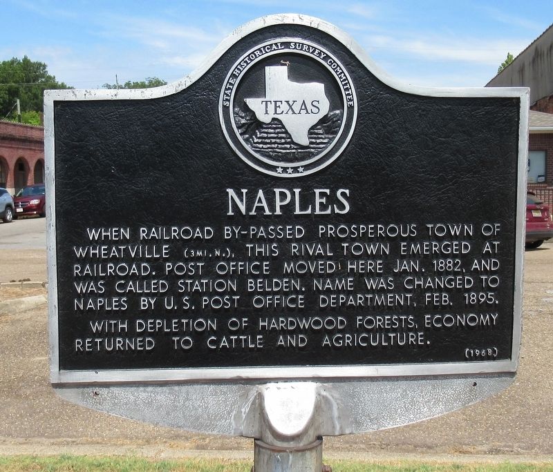
Naples
Photographed by Jason Armstrong, July 30, 2022
1. Naples Marker
Erected 1968 by State Historical Survey Committee. (Marker Number 7853.)
Topics. This historical marker is listed in these topic lists: Railroads & Streetcars • Settlements & Settlers. A significant historical month for this entry is January 1882.
Location. 33° 12.195′ N, 94° 40.856′ W. Marker is in Naples, Texas, in Morris County. It is at the intersection of Walnut Street and Main Street, on the right when traveling north on Walnut Street. Located on a triangular section of land between Walnut Street, Main Street and Highway 67. Touch for map. Marker is in this post office area: Naples TX 75568, United States of America. Touch for directions.

Regionally, this marker is in the American South, specifically in the Deep South, and in the Piney Woods. Globally, it is in North America, a Gulf of Mexico state,
this page online
Other nearby markers. At least 8 other markers are within 12 miles of this marker, measured as the crow flies: Naples Cemetery (approx. ¼ mile away); Stephenson's Ferry (approx. 3.7 miles away); Concord Meeting House (approx. 7 miles away); Titus County (approx. 8½ miles away); Site of Valley View School (approx. 10 miles away); Snow Hill Cemetery (approx. 11 miles away); Snow Hill Baptist Church (approx. 11 miles away); Dalby Springs Methodist Church (approx. 11.3 miles away).
Photographed by Jason Armstrong, July 30, 2022
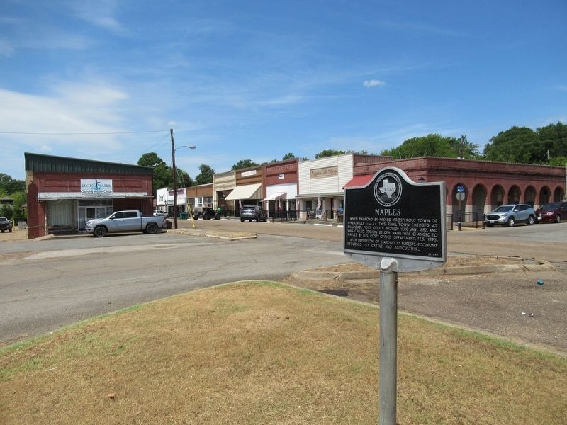
2. Naples Marker
Looking west across Walnut Street down Main Street.
Photographed by Jason Armstrong, July 30, 2022
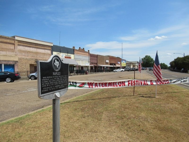
3. Naples
Looking east were Main Street joins Highway 67.

Photographed by Jeff Leichsenring, July 23, 2026
4. Naples Marker
Credits. This page was last revised on July 29, 2026. It was originally submitted on April 29, 2023, by Jason Armstrong of Talihina, Oklahoma. This page has been viewed 648 times since then and 76 times this year. Photos: 1, 2, 3. submitted on April 29, 2023, by Jason Armstrong of Talihina, Oklahoma. 4. submitted on July 28, 2026, by Jeff Leichsenring of Garland, Texas. • James Hulse was the editor who published this page.
