Near Independence in Inyo County, California — The American West (Pacific Coastal)
Icon of Confinement
Manzanar Guard Tower
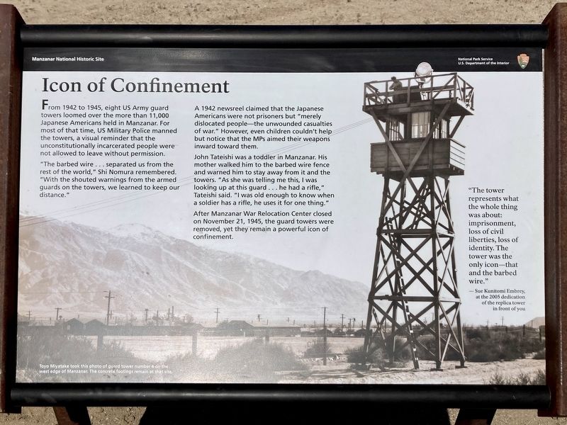
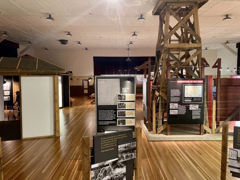
From 1942 to 1945, eight US Army guard towers loomed over the more than 11,000 Japanese Americans held in Manzanar. For most of that time, US Military Police manned the towers, a visual reminder that the unconstitutionally incarcerated people were not allowed to leave without permission.
"The barbed wire... separated us from the rest of the world," Shi Nomura remembered. "With the shouted warnings from the armed guards on the towers, we learned to keep our distance."
Toyo Miyatake took this photo of guard tower number 4 on the west edge of Manzanar. The concrete footings remain at that site. A 1942 newsreel claimed that the Japanese Americans were not prisoners but "merely dislocated people-the unwounded casualties of war." However, even children couldn't help. but notice that the MPs aimed their weapons inward toward them.
John Tateishi was a toddler in Manzanar. His mother walked him to the barbed wire fence and warned him to stay away from it and the towers. "As she was telling me this, I was looking up at this guard... he had a rifle," Tateishi said. "I was old enough to know when a soldier has a rifle, he uses it for one thing."
After Manzanar War Relocation Center closed on November 21, 1945, the guard towers were removed, yet they remain a powerful icon of confinement.
"The tower represents what the whole thing was about: imprisonment, loss of civil liberties, loss of identity. The tower was the only icon-that and the barbed wire."
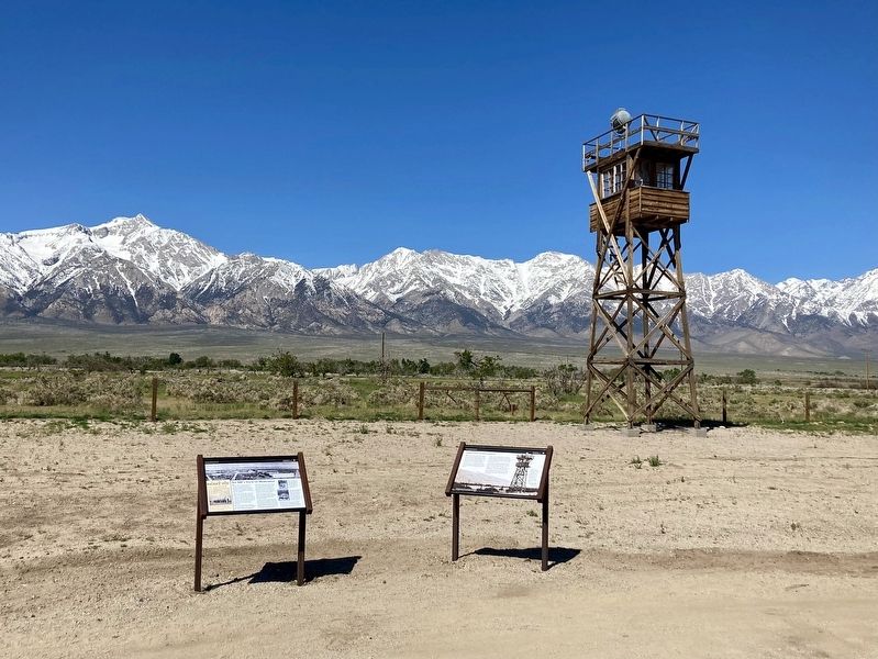
-Sue Kanitomi Embrey, at the 2005 dedication of the replica tower in front of you.
An MP's View of Manzanar
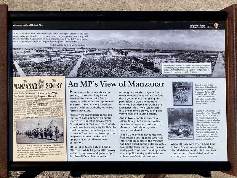
From a tower forty feet above the ground, US Army Military Police watched the barbed wire fence of Manzanar with orders to "apprehend and arrest” any Japanese Americans leaving "without authority, using such force as necessary."
"There were searchlights on the top that went back and forth along the fence,” Pvt. Robert Thomas recalled. "It was just a barbed wire fence which would have been very easy for them to crawl out under, but nobody ever tried to escape.” No one tried to escape, but people sometimes sneaked out temporarily rather than request permission.
MPs recalled tower duty as boring. "Once in a while I'd get a little drowsy and stuff, lay down and go to sleep," Pvt. Russell Demo later admitted.
Although no MP shot anyone from a tower, one private patrolling on foot shot a young man after giving him permission to cross a temporary, unfenced boundary line. During the Manzanar "riot,” two soldiers shot into the unarmed crowd, killing two young men and injuring others.
And in two separate instances, a soldier fatally shot another soldier in their army compound, just south of Manzanar. Both shootings were deemed accidental.
In 1944, the army removed the MPs from tower duty. Japanese American interior police replaced the MPs that had been guarding the entrance gates around the fence, except for the main sentry post. That stone building, and a smaller police sentry post, can be seen at Manzanar's historic entrance.
photo caption:
Toyo Miyatake was able to take this panoramic photograph from the original guard tower that stood here. The photo is undated, but the Manzanar Co-Operative first printed it in January 1944 and sold copies for 85 cents.
Erected by National Park Service.
Topics. This historical marker is listed in these topic lists: Asian Americans • Civil Rights • War, World II.
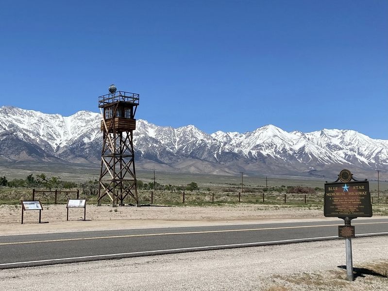
Location. 36° 43.852′ N, 118° 8.856′ W. Marker is near Independence, California, in Inyo County. Marker is on Manzanar Reward Road west of U.S. 395, on the right when traveling south. Located at Manzanar National Historic Site. Touch for map. Marker is at or near this postal address: 5001 US-395, Independence CA 93526, United States of America. Touch for directions.
Other nearby markers. At least 8 other markers are within 6 miles of this marker, measured as the crow flies. Manzanar Baseball Field (approx. 0.2 miles away); Manzanar (approx. 0.2 miles away); A Community's Living Room (approx. 0.2 miles away); Weaving for the War (approx. 0.6 miles away); Legacy (approx. 0.9 miles away); Sacred Space (approx. 0.9 miles away); Alabama Gates (approx. 4.6 miles away); Kearsarge Station (approx. 5˝ miles away). Touch for a list and map of all markers in Independence.
Credits. This page was last revised on April 29, 2023. It was originally submitted on April 29, 2023, by Craig Baker of Sylmar, California. This page has been viewed 81 times since then and 9 times this year. Photos: 1, 2, 3, 4, 5, 6. submitted on April 29, 2023, by Craig Baker of Sylmar, California.
