
French Quarter in New Orleans in Orleans Parish, Louisiana — The American South (West South Central)
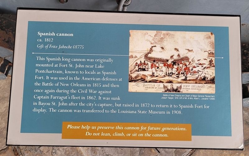
Spanish cannon
ca. 1812
| — | Gift of Fritz Jahncke 01775 | — |
Photographed by James Hulse, January 12, 2023
1. Spanish cannon Marker
Captions
Battle of New Orleans and Death of Major General Packenham. Joseph Yaeger, 1816. Gift of Mr. & Mrs. Albert L. Lieutand 112405.
Do not lean, climb, or sit on the cannon.
Erected by Louisiana State Museum.
Topics. This historical marker is listed in these topic lists: War of 1812 • War, US Civil. A significant historical year for this entry is 1815.
Location. 29° 57.454′ N, 90° 3.828′ W. Marker is in New Orleans, Louisiana, in Orleans Parish. It is in the French Quarter. It is at the intersection of Chartres Street and St. Peters, on the left when traveling north on Chartres Street.
this page online

Regionally, this marker is in Louisiana’s River Parishes. It is also in the American South, specifically in the Deep South, on the Gulf Coast, and in the Great River Road Region. Globally, it is in North America, a Gulf of Mexico state, the Western Hemisphere, the Western World, and the Anglosphere. Historically, it finds itself in what was once New Spain, the Viceroyalty of New France, the territory of the Mississippian Culture, the Louisiana Purchase, one of the Confederate States of America, and the Antebellum South.
Other nearby markers. At least 8 other markers are within walking distance of this marker: Don Bernardo de Galvez (here, next to this marker); To the French Patriots of 1768 (here, next to this marker); The Cabildo (here, next to this marker); Napoleon 12-pounder cannon (here, next to this marker); a different marker also named The Cabildo (here, next to this marker);
Photographed by James Hulse, January 12, 2023
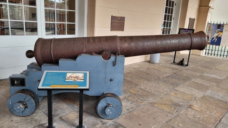
2. The Spanish cannon and Marker in front of the museum
Credits. This page was last revised on April 29, 2023. It was originally submitted on April 29, 2023, by James Hulse of Medina, Texas. This page has been viewed 466 times since then and 58 times this year. Photos: 1, 2. submitted on April 29, 2023, by James Hulse of Medina, Texas.
